 geocatalogue.geoportail.lu
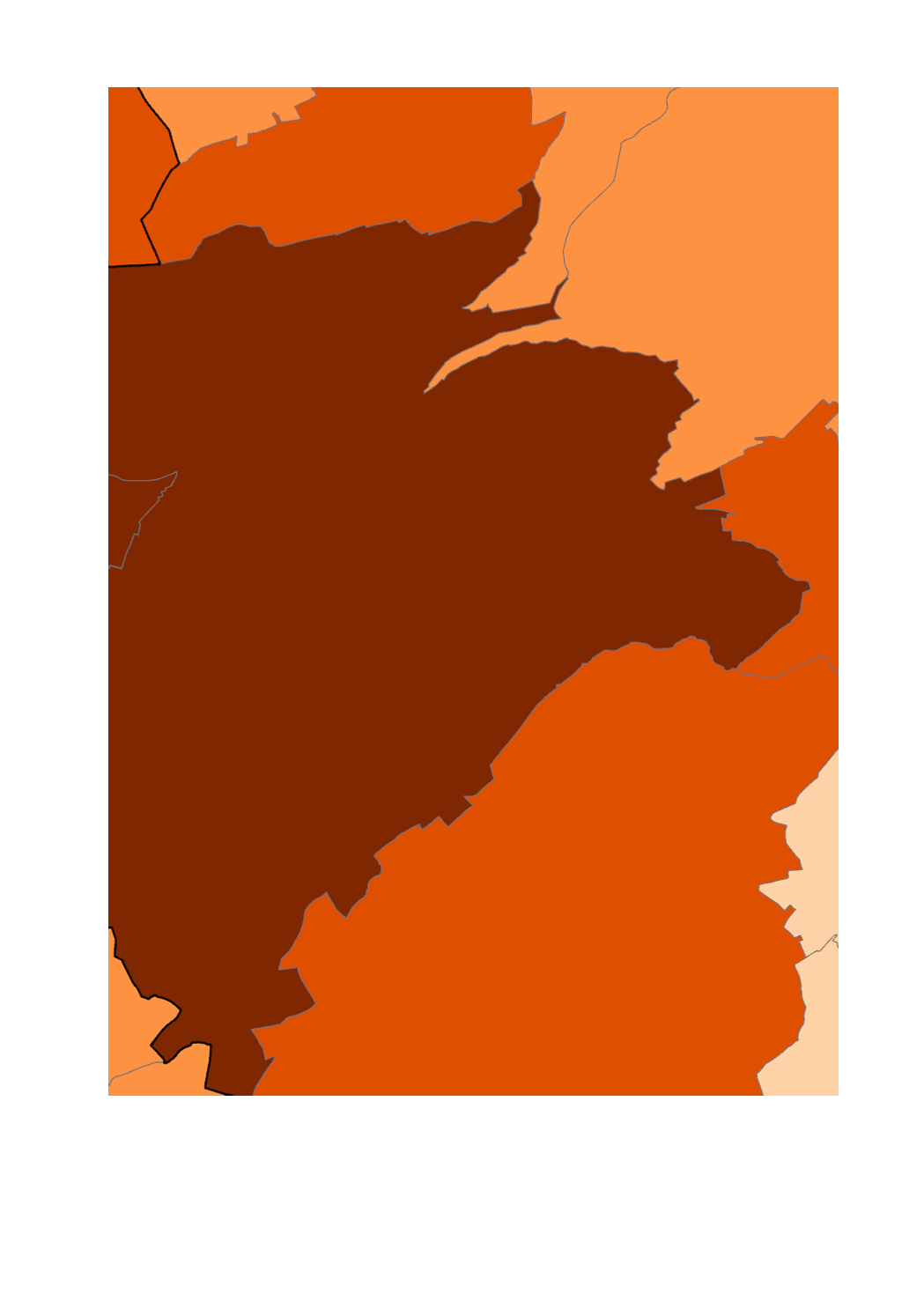
Main>Population census
Type of resources
Available actions
Keywords
Contact for the resource
Provided by
Groups
Years
Representation types
Update frequencies
status
Scale
-
This layer contains the proportion of Portuguese among the population by municipality recorded during the population census of the 8th November 2021.
-

This layer contains the proportion of Frenchmen among the population by municipality recorded during the population census of the 8th November 2021.
-
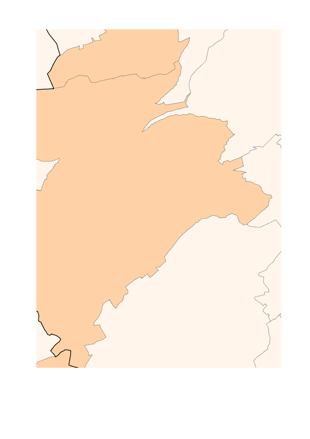
This layer contains the population by municipality recorded during the population census of the 8th November 2021.
-
This layer contains the proportion of Italians among the population by municipality recorded during the population census of the 8th November 2021.
-
This layer contains the proportion of Germans among the population by municipality recorded during the population census of the 8th November 2021.
-

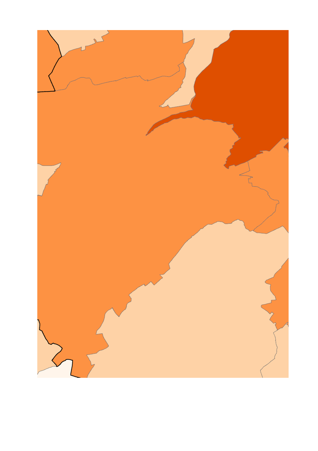
This layer contains the proportion of Belgiums among the population by municipality recorded during the population census of the 8th November 2021.
-
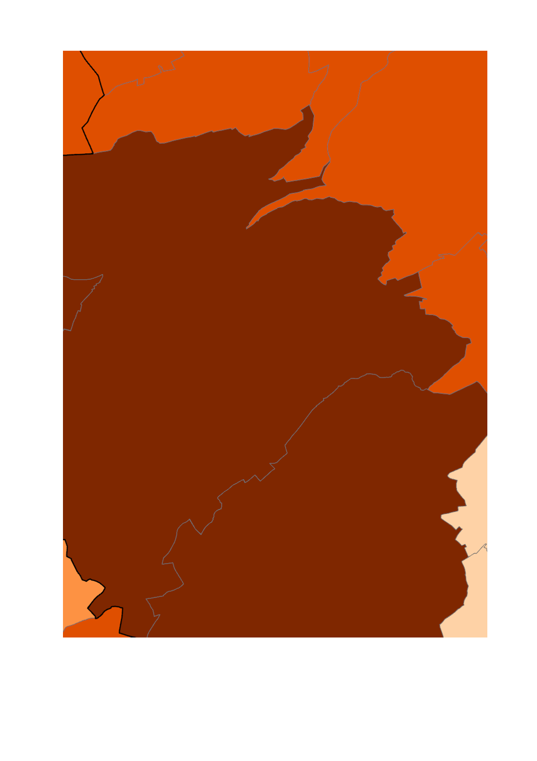
This layer contains the proportion of foreign persons among the population by municipality recorded during the population census of the 8th November 2021.
-
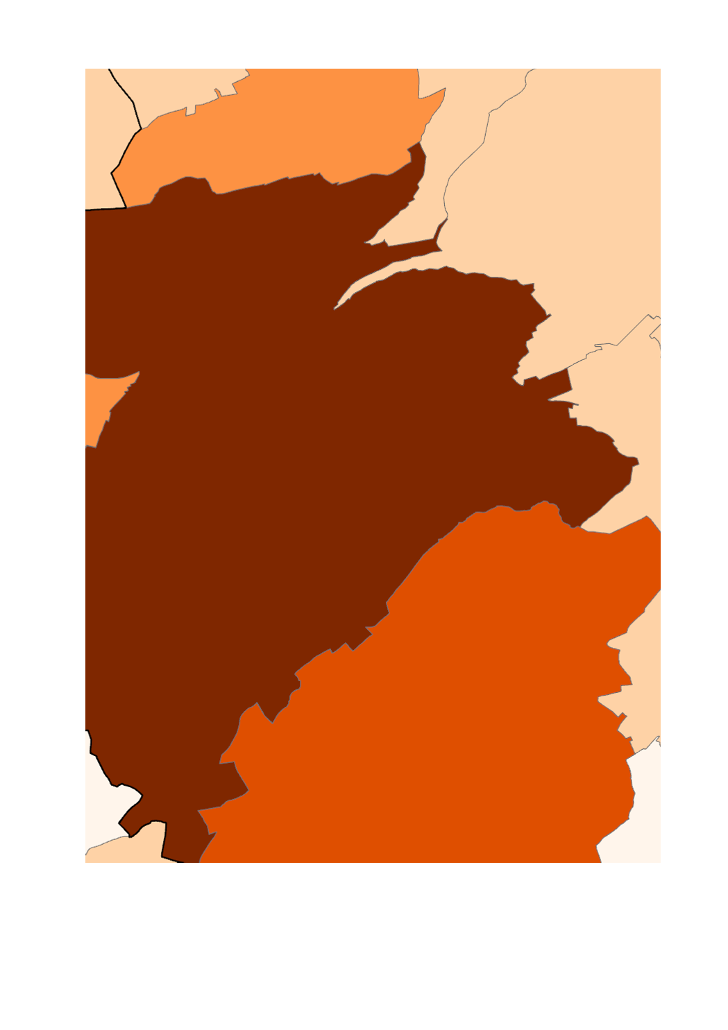
This layer contains the population density by municipality recorded during the population census of the 8th November 2021.
-
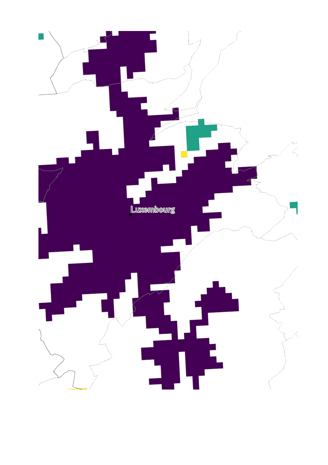
This layer shows the habitat nuclei recorded during the population census of the 8th November 2021. For more information, please see the <a href="https://statistiques.public.lu/fr/recensement/structure-urbaine.html"> following publication </a>
-
This layer shows the evolution of the population by 1 km² grid between 2011 and 2021. For more information, please see the <a href="https://statistiques.public.lu/fr/recensement/structure-urbaine.html">following publication</a>