 geocatalogue.geoportail.lu
Administration de la gestion de l'eau - Division de l'hydrologie
Type of resources
Available actions
Provided by
Groups
Years
Formats
Representation types
Update frequencies
status
Scale
-
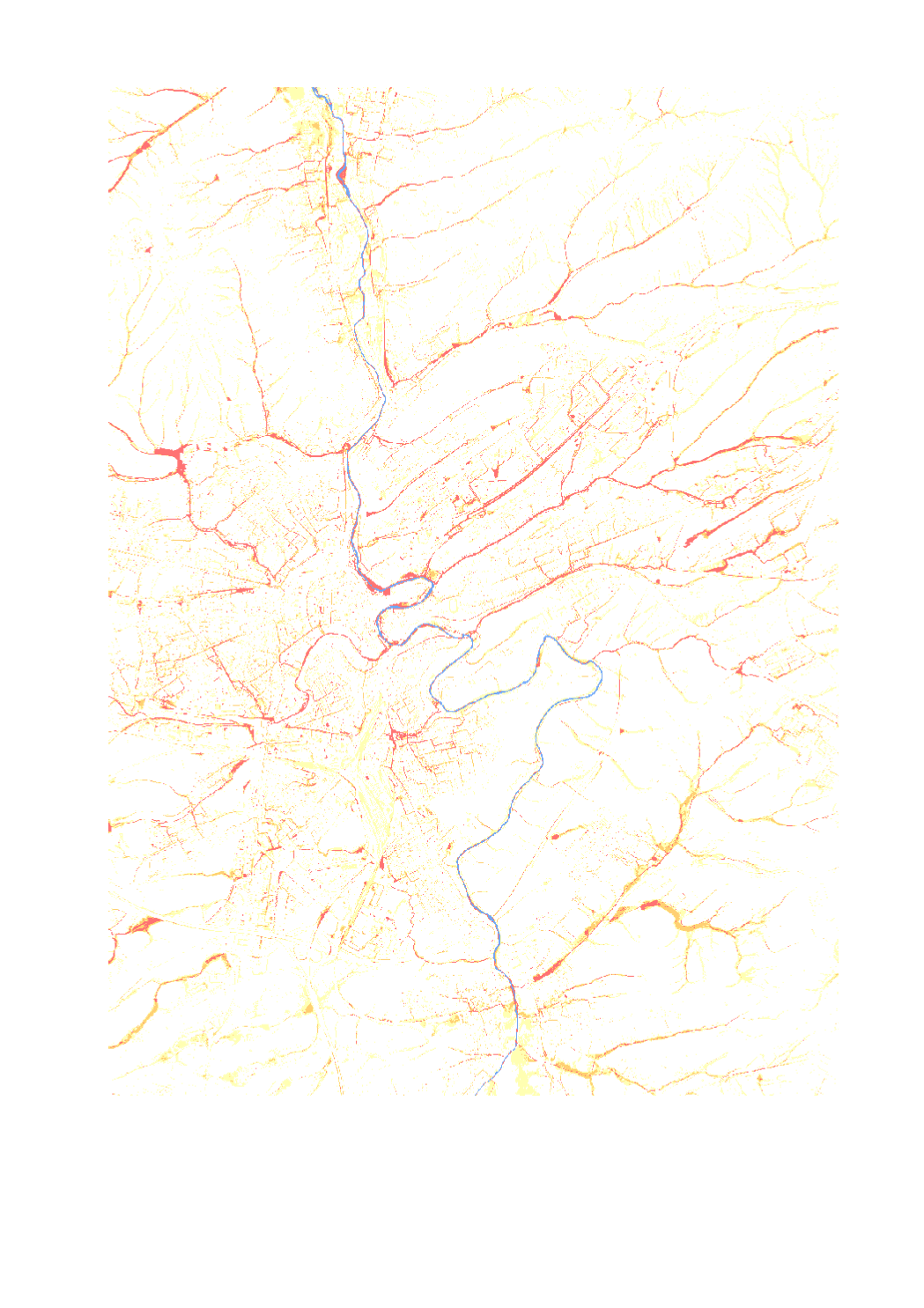
This map shows the flashfloods in a heavy rainfall scenario [Duration 60 - annuality 100years]. This hazard matrix is created by intersecting flow velocity and flooding depth, the hazard matrix shows the degree of hazard to be expected at the potential sites. Flood depths from 4 cm and flow velocities from 0.2 m/s are displayed.
-
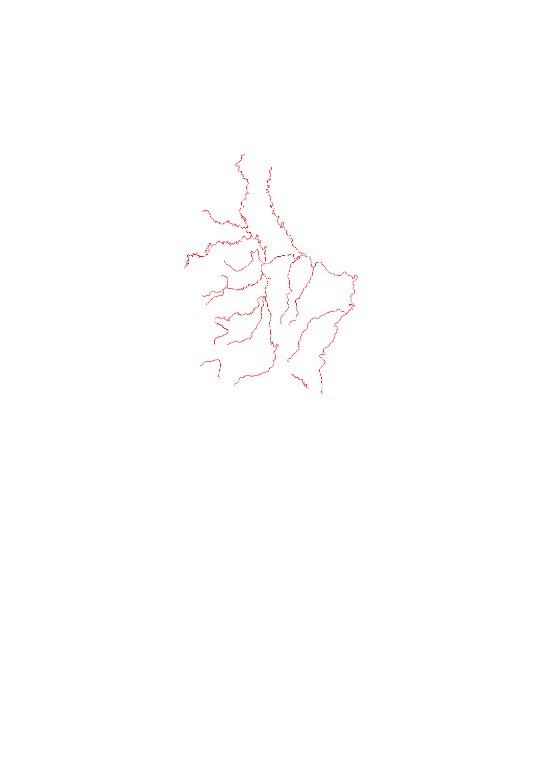
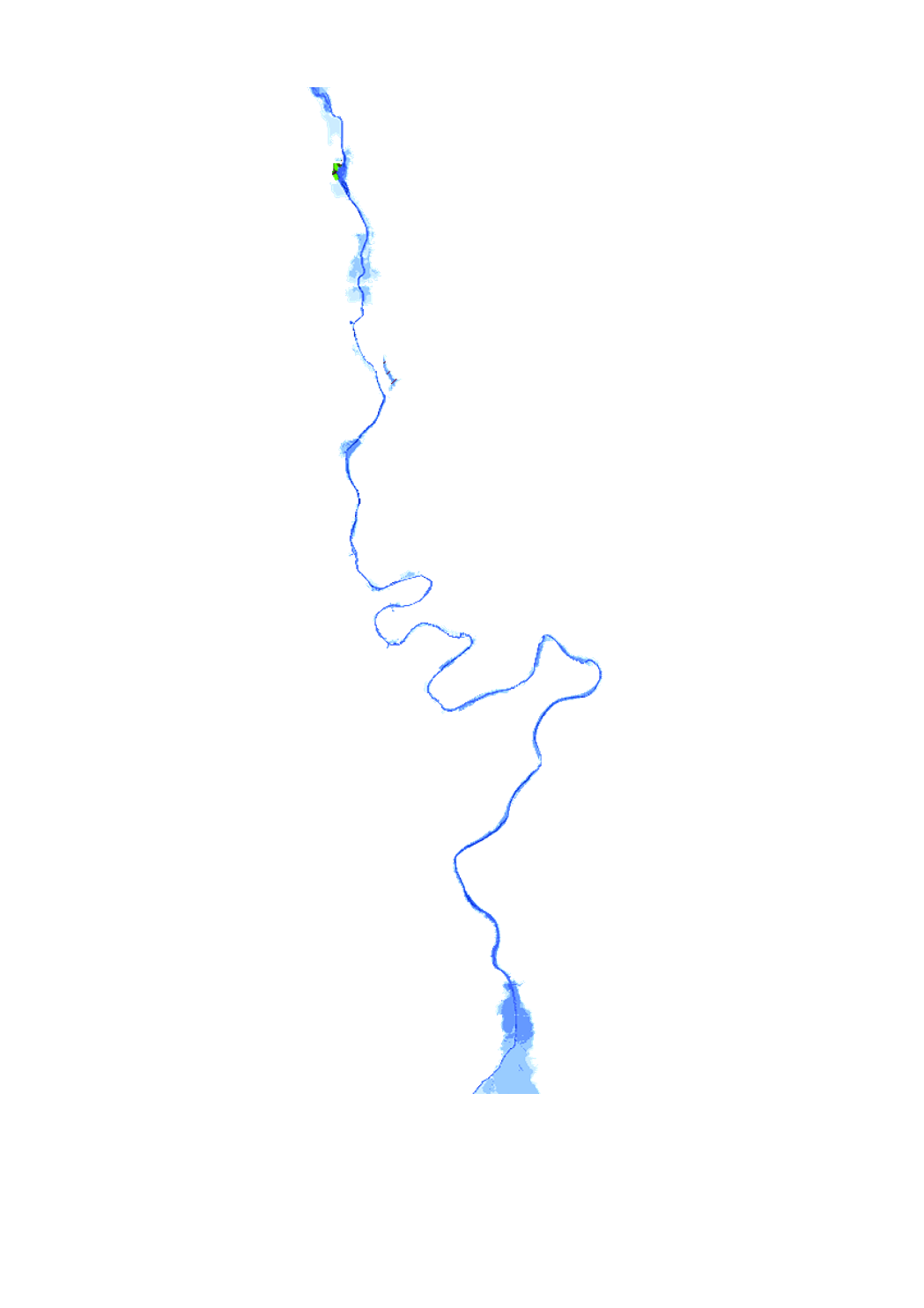
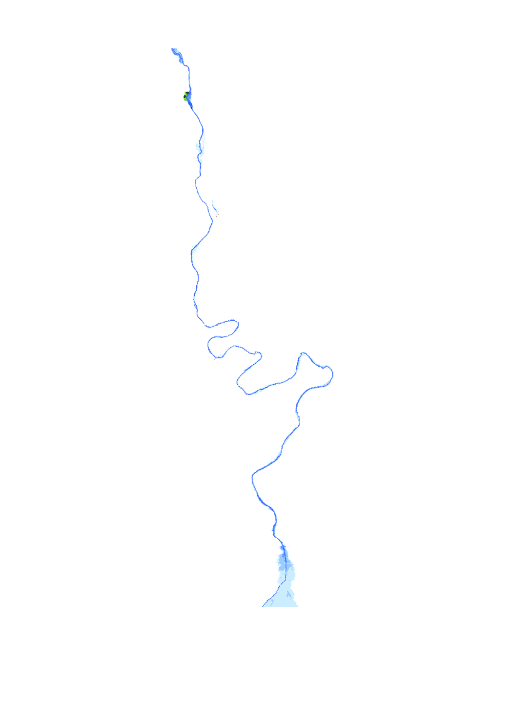
Watercourses with a potential significant flood risk according to article 4 of the floods directive 2007/60/EC
-

<p>Flood risk map based on the floods directive 2007/60/EC, showing the different affected uses by an 100-year flood event.</p> <p>This Layer is used for the public consultation for the project of the flood hazard an flood risk maps 2019. This consultation will be held from 17 June to 17 September.</p>
-

<p>Flood hazard map based on the floods directive 2007/60/EC, showing the floodplain and the water depth of a 10-year flood event.</p> <p>This Layer is used for the public consultation for the project of the flood hazard an flood risk maps 2019. This consultation will be held from 17 June to 17 September.</p>
-
<p>Flood risk map based on the floods directive 2007/60/EC, showing the different affected uses by an extreme flood event.</p> <p>This Layer is used for the public consultation for the project of the flood hazard an flood risk maps 2019. This consultation will be held from 17 June to 17 September.</p>
-
<p>Flood hazard map based on the floods directive 2007/60/EC, showing the floodplain and the water depth of a 100-year flood event.</p> <p>This Layer is used for the public consultation for the project of the flood hazard an flood risk maps 2019. This consultation will be held from 17 June to 17 September.</p>
-

<p>Flood risk map based on the floods directive 2007/60/EC, showing the different affected uses by an 10-year flood event.</p> <p>This Layer is used for the public consultation for the project of the flood hazard an flood risk maps 2019. This consultation will be held from 17 June to 17 September.</p>
-

Flood hazard map, indicating the floodplain and the water depth of a 50-year flood event.
-
Flood hazard map, indicating the floodplain and the water depth of a 5-year flood event.
-
Flood risk map based on the floods directive 2007/60/EC, showing the different affected uses by an 10-year flood event.