 geocatalogue.geoportail.lu
ACT-intranet
Type of resources
Available actions
Keywords
Contact for the resource
Provided by
Groups
Years
Representation types
Update frequencies
status
Scale
-
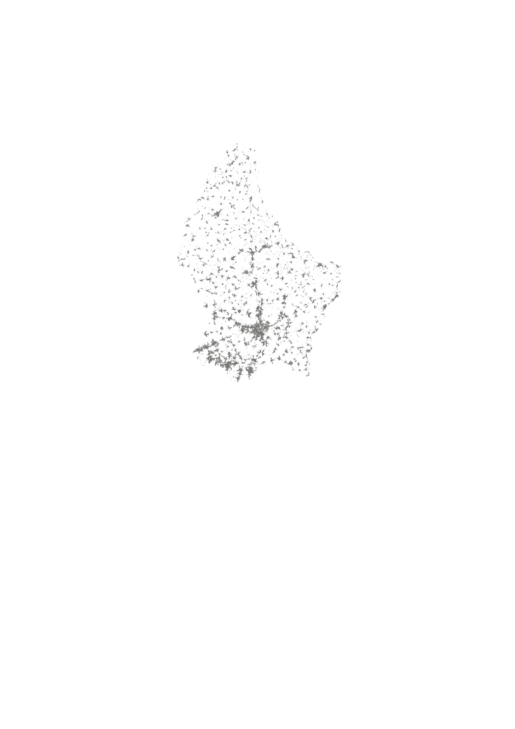
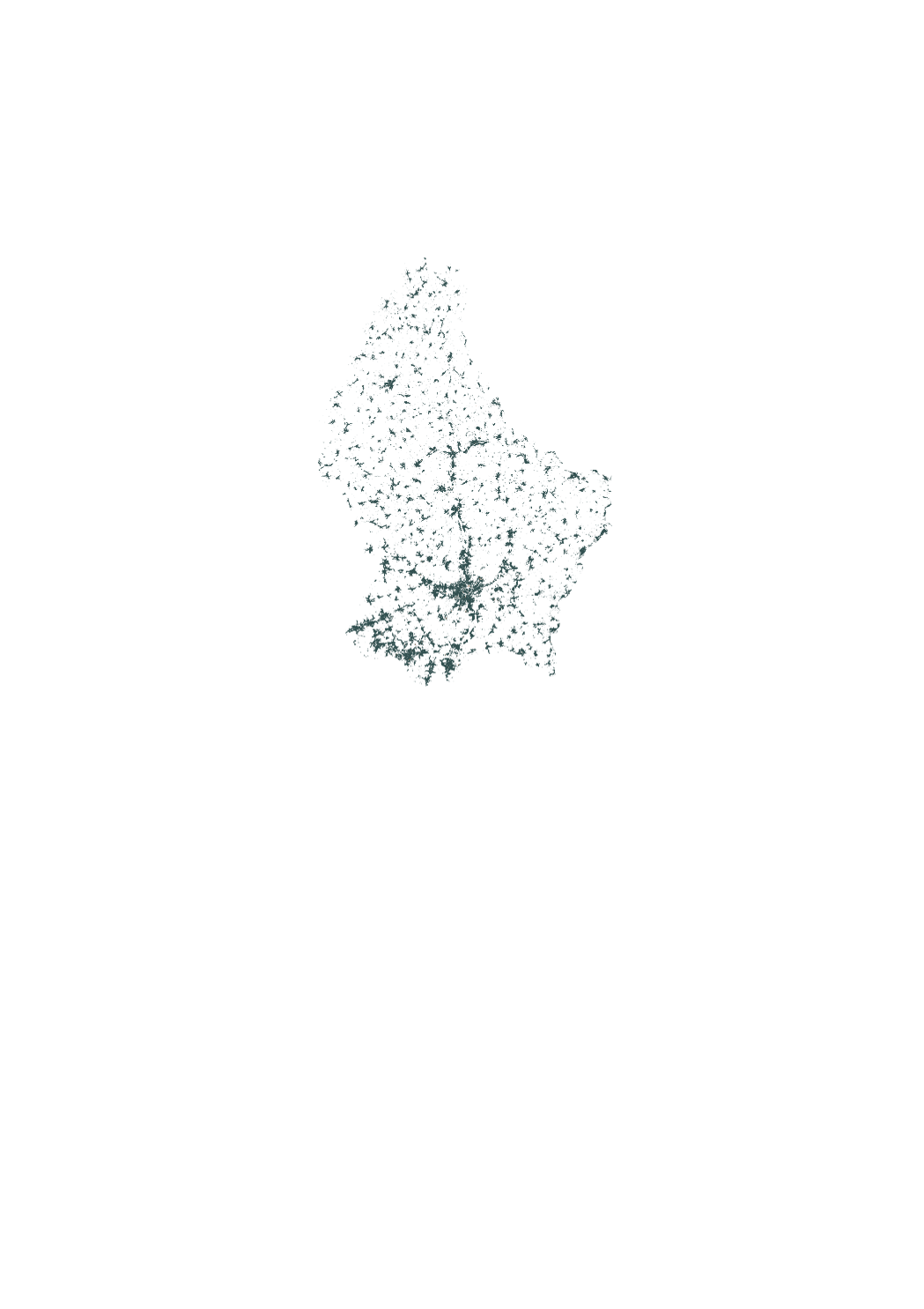
National topographic map (vector format) based on geospatial core data. Its data comes from multiple sources with different update frequencies. The date of the last modification can be found on the respective sites. - Réseau routier et ferroviaire : Administration du cadastre et de la topographie https://data.public.lu/fr/datasets/transport-et-voies-de-communication/ - Courbes de niveau et points cotés : Administration du cadastre et de la topographie https://data.public.lu/fr/datasets/bd-l-tc-2015/ - Utilisation du sol : Ministère de l’Énergie et de l’Aménagement du territoire 2018 https://data.public.lu/fr/datasets/lis-l-land-use-2007-2015-2018/ - Cours d’eau : Administration de la gestion d'eau https://data.public.lu/fr/datasets/surface-water/ - Bâtiments : Administration du cadastre et de la topographie https://data.public.lu/fr/datasets/base-de-donnees-nationale-des-batiments-3d/ et https://data.public.lu/fr/datasets/plan-cadastral-numerise-pcn/ - Réservoirs et châteaux d’eau : Administration du cadastre et de la topographie https://data.public.lu/fr/datasets/bd-l-tc-2015/ - Limite d’Etat : Administration du cadastre et de la topographie https://data.public.lu/fr/datasets/limites-administratives-du-grand-duche-de-luxembourg/ - Terrains de sport : Administration du cadastre et de la topographie https://data.public.lu/fr/datasets/bd-l-tc-2015/ - Cimetières : Administration du cadastre et de la topographie https://data.public.lu/fr/datasets/bd-l-tc-2015/ - Lignes électriques : Administration du cadastre et de la topographie https://data.public.lu/fr/datasets/bd-l-tc-2015/ - Gares CFL : Société nationale des Chemins de Fer Luxembourgeois https://data.public.lu/fr/datasets/arrets-et-gares-des-lignes-ferroviaires/ - Eoliennes, églises, synagogues, hôpitaux, aéroport et parking : Administration du cadastre et de la topographie https://data.public.lu/fr/datasets/bd-l-tc-2015/
-
This layer shows the potential solar radiation on a rooftop. The suitability for photovoltaics is expressed in the following categories: 0: unsuitable, 7: conditionally suitable, 1: suitable, 2: well suitable Attention: with negative values, the potential could not be determined! The maximum installable system size as well as the maximum power yield are estimated on the basis of 270Wp modules with dimensions of 0.990x1.650m.
-
This layer contains the UAS geographical zones between 0 and 50m height.
-

This layer shows the rooftops with a potential of over 30 kWp The suitability for photovoltaics is expressed in the following categories: 0: unsuitable, 7: conditionally suitable, 1: suitable, 2: well suitable Attention: with negative values, the potential could not be determined! The maximum installable system size as well as the maximum power yield are estimated on the basis of 270Wp modules with dimensions of 0.990x1.650m.
-
This layer shows the possible category of the feed-in tariff, based on the maximal possible power The suitability for photovoltaics is expressed in the following categories: 0: unsuitable, 7: conditionally suitable, 1: suitable, 2: well suitable Attention: with negative values, the potential could not be determined! The maximum installable system size as well as the maximum power yield are estimated on the basis of 270Wp modules with dimensions of 0.990x1.650m.
-

This layer contains the UAS geographical zones between 50 and 120m height.