 geocatalogue.geoportail.lu
inlandWaters
Type of resources
Available actions
Topics
Keywords
Contact for the resource
Provided by
Groups
Years
Representation types
Update frequencies
status
Scale
-
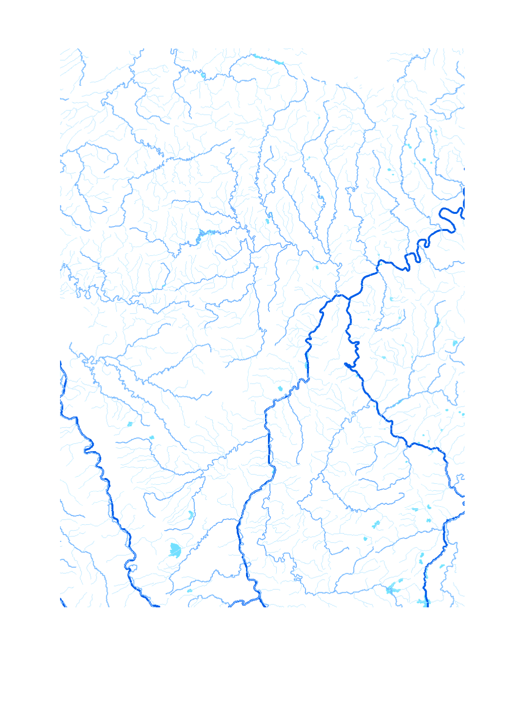
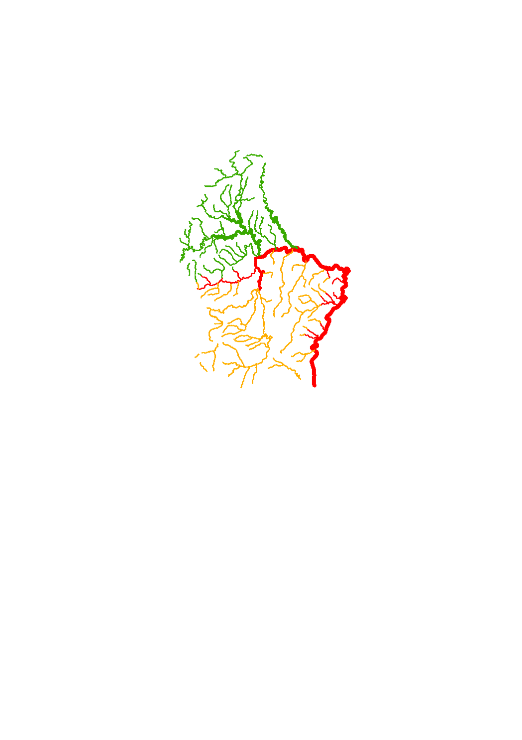
Waterway network of the Greater Region - Data sources: EuroGeographics EuroRegionalMap v3.0 - 2010; ESRI 2006. Harmonization: SIG-GR / GIS-GR 2012
-
Station serving to pump water up to a higher point.
-
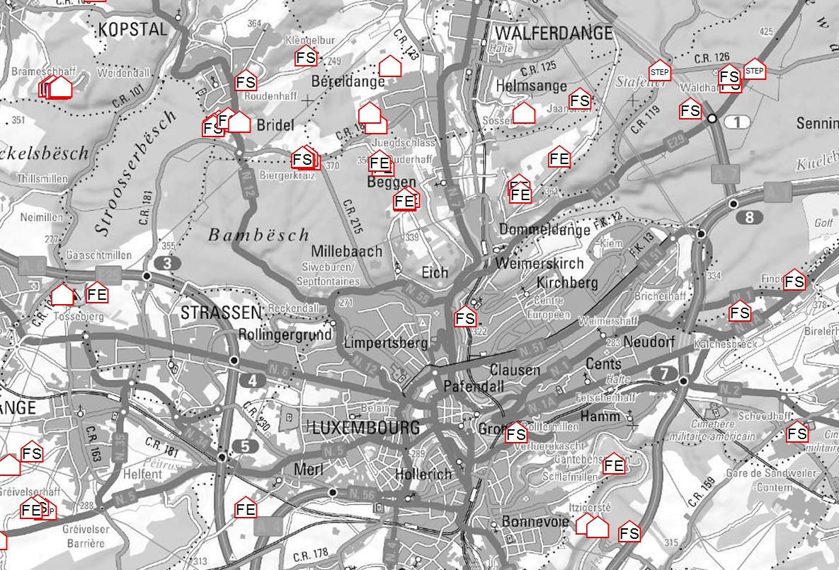
Buildings not connected to the public sewer system
-
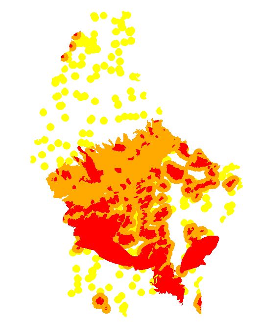
Construction restrictions in groundwater protection zones. For more details, please refer to the following links: Grand-Ducal Regulation of July 9, 2013 (http://legilux.public.lu/eli/etat/leg/rgd/2013/07/09/n20/jo) Specific grand-ducal regulations creating groundwater protection zones (https://eau.gouvernement.lu/fr/administration/Legislation/Reglements-grand-ducaux-portant-creation-de-zone-de-protection.html)
-
Zones AGE national warning system LU-Alert
-
All natural water expanses and basins.
-
All artificial water expanses and basins.
-
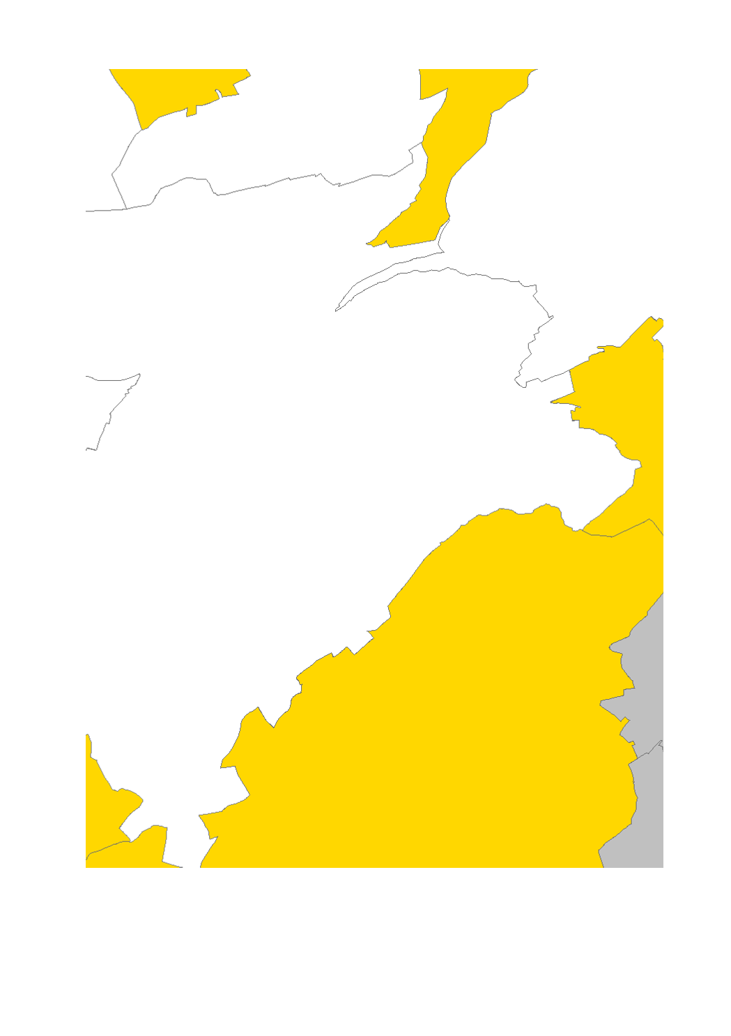
Restrictions for new private drillings
-
This layer contains the certificates of excellence of the different municipalities for the successful audit of the risk analysis of drinking water installations
-
Surface water courses that are part of the monitoring network.