 geocatalogue.geoportail.lu
Keyword
Main>Land surface>Digital elevation model (BD-L-LiDAR)>LiDAR
Type of resources
Available actions
Keywords
Contact for the resource
Provided by
Groups
Representation types
Update frequencies
status
Scale
From
1
-
4
/
4
-
Digital surface model with LUREF heights based on the 2024 Lidar acquisition with a ground resolution of 50cm.
-
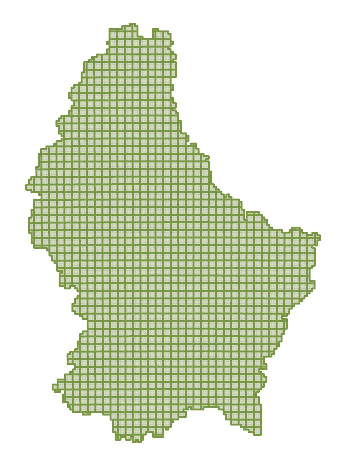
Tile sheet for the 2024 point cloud.
-

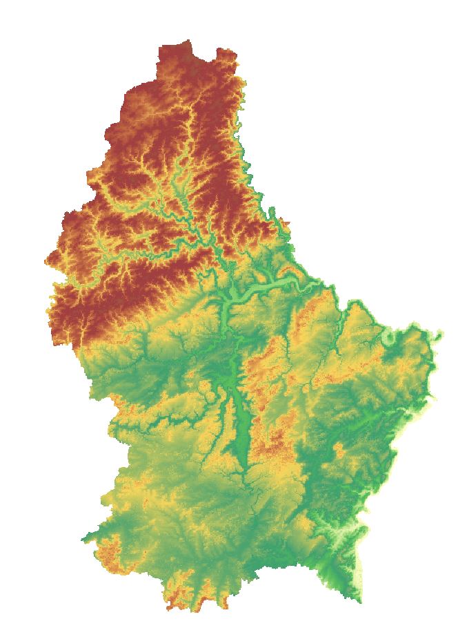
Hillshade based on the 2024 digital elevation model and colorized with colors on the hue scale to represent height.
-

Hillshade based on the 2024 digital elevation model and colorized with colors on the hue scale to represent height.