 geocatalogue.geoportail.lu
Keyword
LiDAR, Laser scan, digital elevation model, digital height model, DHM, DEM
Type of resources
Available actions
Keywords
Contact for the resource
Provided by
Groups
Representation types
Update frequencies
status
Scale
From
1
-
1
/
1
-
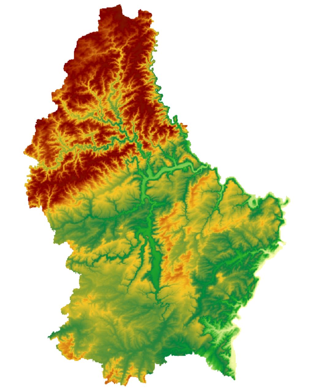
Digital elevation model with alternative coloring originating from the airborne LiDAR survey from February 2019 with a 50 cm resolution.