Transport> Accessibility of the major centres
Type of resources
Available actions
Topics
Keywords
Contact for the resource
Provided by
Groups
Years
Representation types
Update frequencies
status
Scale
-

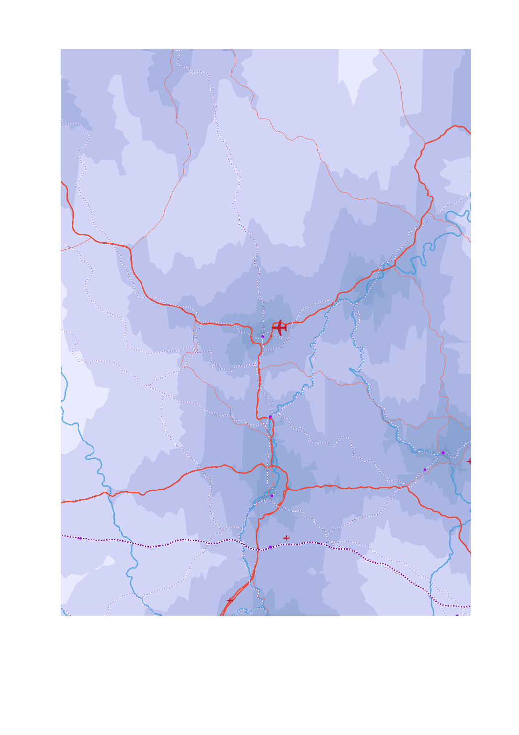
- Airport passengers 2017 - Trimodal hubs rail-road-water - Ports TEN-T - Airport passengers 2017 - High-speed railway lines - Railway lines TEN-T - Main roads (core network TEN-T) - Secondary roads (comprehensive network TEN-T) - Navigable waterways - Maritime links - Driving times to major centres at peak times in minutes (isochrones) - Sources: GISCO 2017; SIG-GR / GIS-GR 2017; European Environment Agency 2012; OSM 2017; European Commission 2017; EUROSTAT 2018. Harmonization: CREAT-UCL 2018.
-

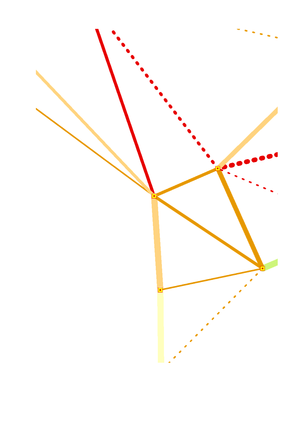
Quality of the intraregional rail connections (2017) based on the linear distance speed of the fastest connection between the major centres of the Greater Region - Sources: FAU, Deutsche Bahn 2017
-

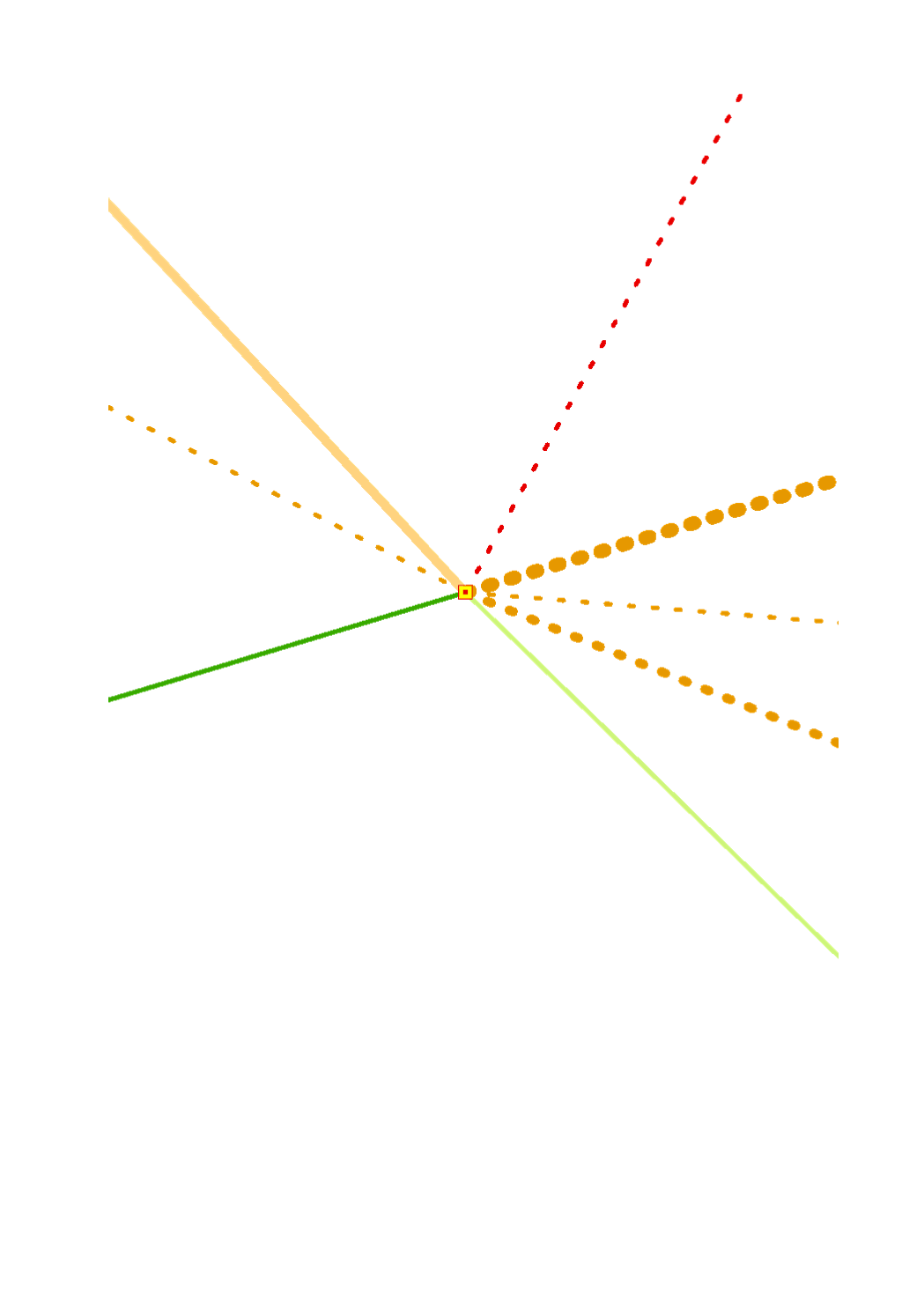
Quality of the supra-regional rail connections by the example of Luxembourg-city (2017) based on the linear distance speed of the fastest connection towards and between the major cities surrounding the Greater region - Sources: FAU, Deutsche Bahn 2017
-

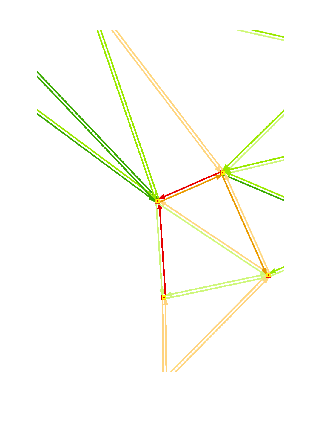
Connection quality of the motorized private transport (2017) based on the linear distance speed of the fastest connection between the major centres of the Greater Region (working day around 8 am) - Sources: FAU, Google Maps 2017 (Data query dates: 27-29.06.2017)
 geocatalogue.geoportail.lu