Keyword
Agriculture, organic
Type of resources
Available actions
Topics
Keywords
Contact for the resource
Provided by
Groups
Years
Representation types
Update frequencies
status
Scale
From
1
-
1
/
1
-

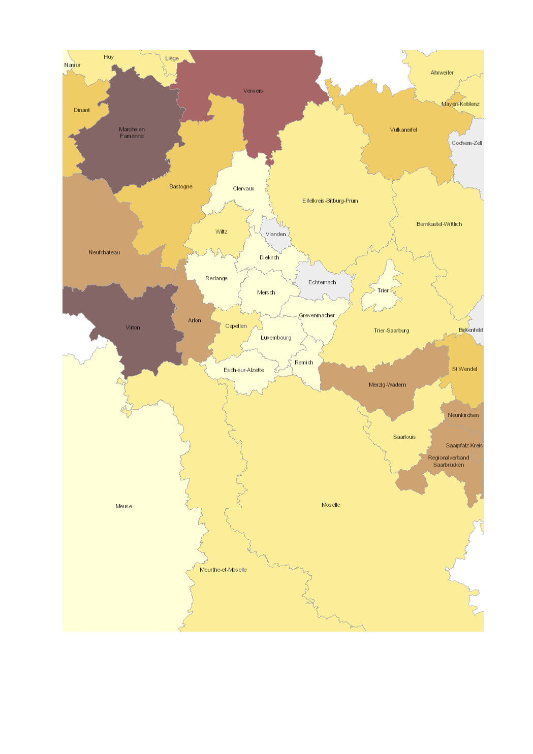
- Share of total utilised agricultural area (UAA) occupied by organic farming (2016-2017) - Territorial entities: arrondissements (Wallonie), départements (Lorraine), cantons (Luxembourg), Kreise (Saarland, Rheinland-Pfalz) - Statistical data sources: Division des Statistiques Agricoles, des Marchés Agricoles et des Relations Extérieures (LUX) 2017; Natagriwal 2017 ; Ministerium für Umwelt und Verbraucherschutz Saarland 2017; ADD Rheinland-Pfalz 2016; Agence BIO / OC Agreste 2016. Harmonization: IGEAT 2018 - Geodata sources: ACT Luxembourg 2017, IGN France 2017, GeoBasis-DE / BKG 2017, NGI-Belgium 2017. Harmonization: SIG-GR / GIS-GR 2018
 geocatalogue.geoportail.lu