 geocatalogue.geoportail.lu
Keyword
Flooded Area,Water level , HQ100 (RGD), 100 year flood event
Type of resources
Available actions
Keywords
Contact for the resource
Provided by
Groups
Years
Representation types
Update frequencies
status
Scale
From
1
-
1
/
1
-
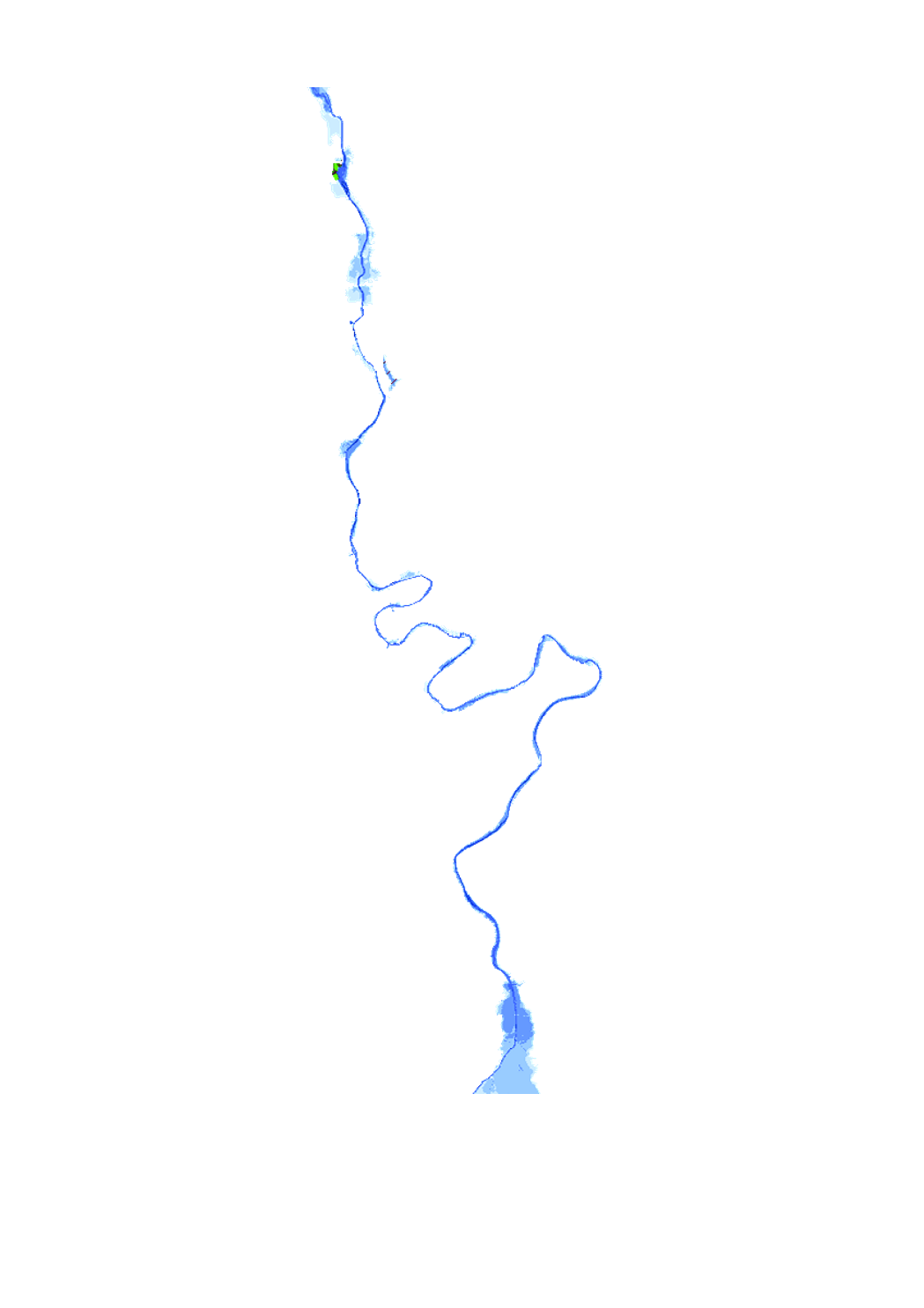
Flood hazard map based on the floods directive 2007/60/EC, showing the floodplain and the water depth of a 100-year flood event.