 geocatalogue.geoportail.lu
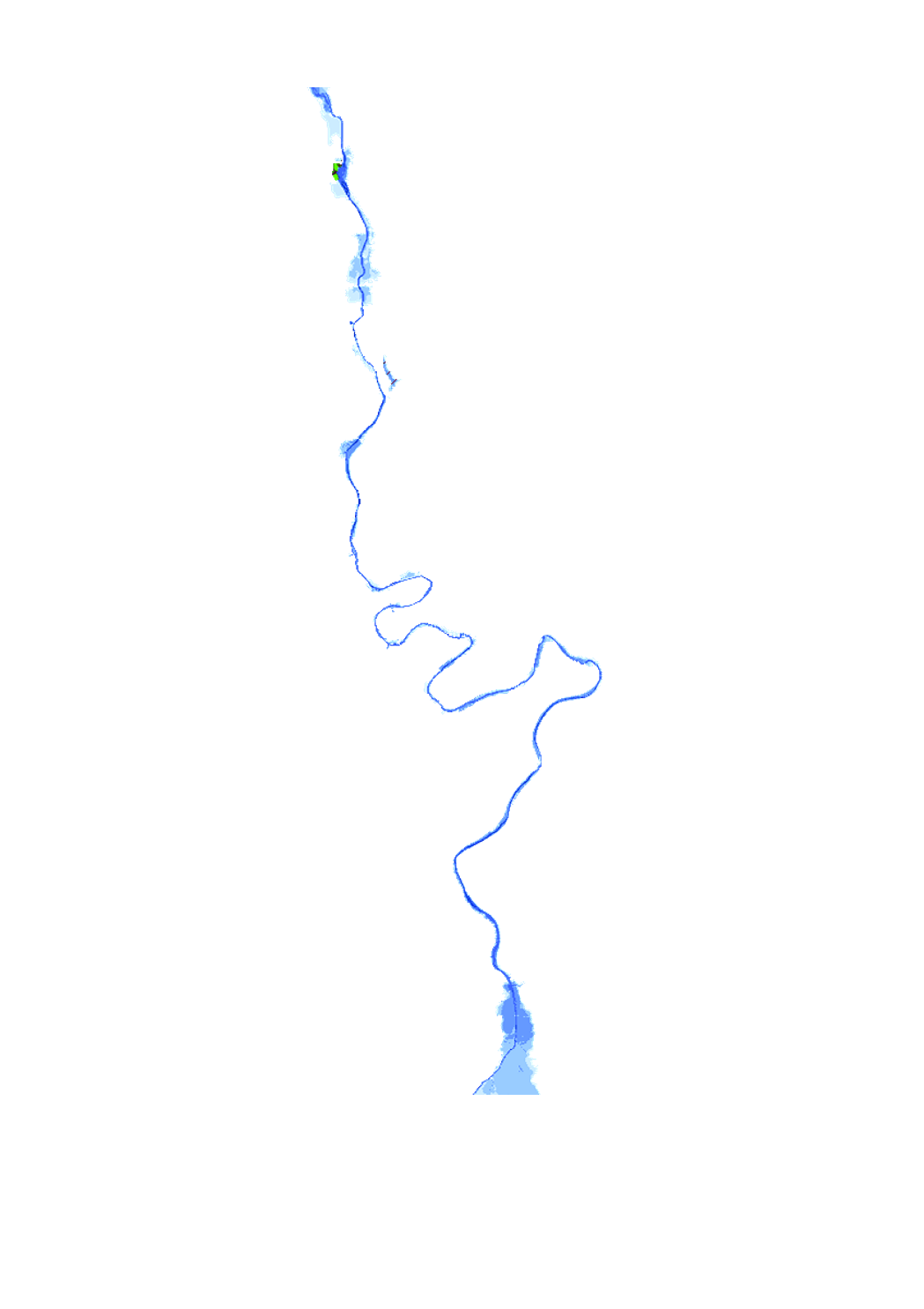
RGD Flood hazard maps (100 year flood)
Flood hazard map based on the floods directive 2007/60/EC, showing the floodplain and the water depth of a 100-year flood event.
Simple
- Date (Creation)
- 2021-07-09T00:00:00
- Citation identifier
- / 8a11d9b4-2274-4505-8b03-ff9f075d7470
- Presentation form
- Digital map
- Status
- On going
- Point of contact
-
Organisation name Individual name Electronic mail address Role Administration de la gestion de l'eau Division de l'hydrologie
Administration de la gestion de l'eau Division de l'hydrologie
Author
- Maintenance and update frequency
- As needed
-
Entités au Grand-Duché de Luxembourg
-
-
Grand-Duché du Luxembourg
-
- Keywords
-
-
Flooded Area,Water level , HQ100 (RGD), 100 year flood event
-
-
Geoportail.lu themes
-
-
Main
-
Water
-
-
Geoportail.lu structure
-
-
Water>Floods directive [FD]>Project RGD Flood hazard maps (10 year flood) 2021
-
Main>Environment, Biology and Geology>Floods directive [FD]>RGD Flood hazard maps
-
- Keywords
-
-
geoportail.lu
-
- Access constraints
- Other restrictions
- Spatial representation type
- Vector
- Denominator
- 500
- Character set
- UTF8
))
- Reference system identifier
- EPSG / http://www.opengis.net/def/crs/EPSG/0/2169
- Distribution format
-
Name Version ShapefileTODO
- OnLine resource
-
Protocol Linkage Name OGC:WMS-1.3.0-http-get-map
http://wmts1.geoportail.lu/opendata/service?request=getCapabilities&service=WMS&version=1.3.0 OGC:WMS-1.3.0-http-get-map
https://wms.geoportail.lu/public_map_layers/service 2118
WWW:DOWNLOAD-1.0-http--download
https://data.public.lu/fr/datasets/flood-hazard-maps-100-year-flood/ Open data
UKST
https://map.geoportail.lu/theme/eau?version=3&zoom=10&X=663636&Y=6413475&lang=en&rotation=0&layers=2118&opacities=1&bgLayer=basemap_2015_global&crosshair=false Geoportail
- Hierarchy level
- Dataset
Metadata
- File identifier
- cdb4137d-822f-4888-8a51-4596480970fe XML
- Metadata language
- Français
- Character set
- UTF8
- Hierarchy level
- Dataset
- Hierarchy level name
-
dataset
- Date stamp
- 2025-05-28T12:31:56
- Metadata standard name
-
ISO 19115:2003/19139
- Metadata standard version
-
1.0
- Metadata author
-
Organisation name Individual name Electronic mail address Role Administration de la gestion de l'eau - Division de l'hydrologie
Claude Schortgen
- Other language
-
Language Character encoding Luxembourgish; Letzeburgesch UTF8 English UTF8 German UTF8 French UTF8
)))