DXF
Type of resources
Available actions
Topics
Provided by
Groups
Years
Formats
Representation types
Update frequencies
status
Scale
-
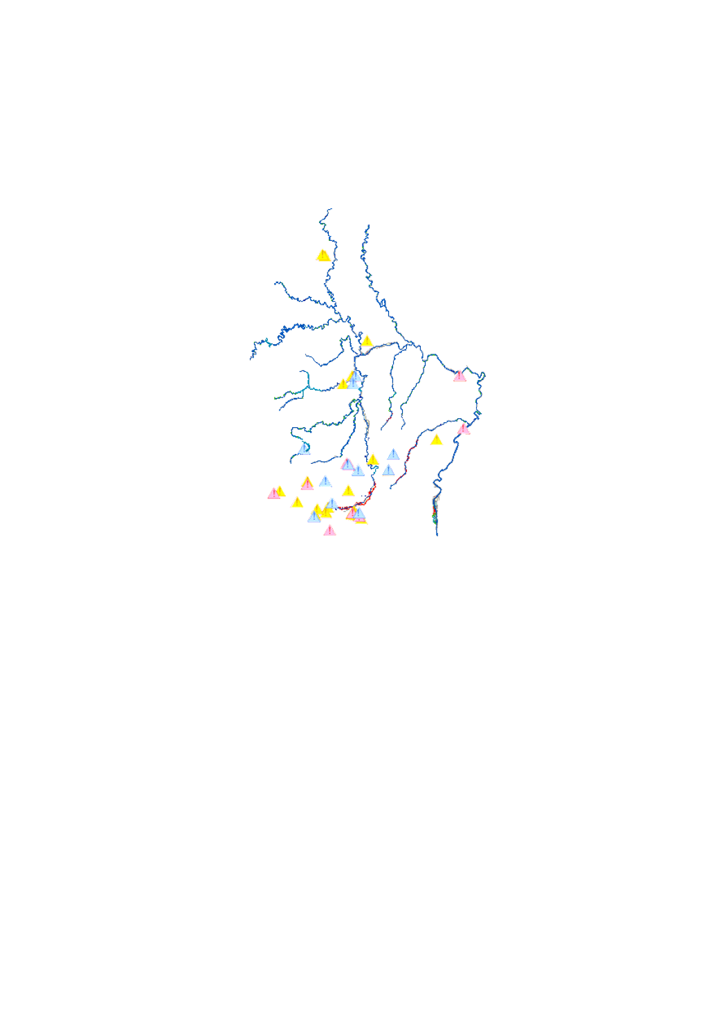
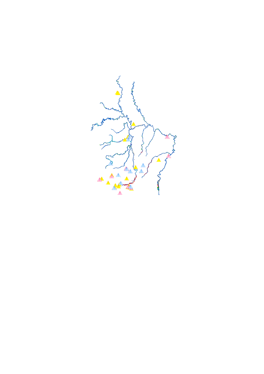
scenario of the flood hazard map which shows the floodplain of a modeled extreme flood event, as demanded by the floods directive 2007/60/EC
-
scenario of the flood risk map which shows the floodplain of a modeled 10-year flood event, as demanded by the floods directive 2007/60/EC
-
scenario of the flood risk map which shows the floodplain of a modeled extreme flood event, as demanded by the floods directive 2007/60/EC
-
scenario of the flood hazard map which shows the floodplain of a modeled 10-year flood event, as demanded by the floods directive 2007/60/EC
-

scenario of the flood risk map which shows the floodplain of a modeled 100-year flood event, as demanded by the floods directive 2007/60/EC
-

scenario of the flood risk map which shows the floodplain of a modeled 10-year flood event, as demanded by the floods directive 2007/60/EC
-
scenario of the flood hazard map which shows the floodplain of a modeled 100-year flood event, as demanded by the floods directive 2007/60/EC
-

scenario of the flood hazard map which shows the floodplain of a modeled 100-year flood event, as demanded by the floods directive 2007/60/EC
-

scenario of the flood hazard map which shows the floodplain of a modeled 10-year flood event, as demanded by the floods directive 2007/60/EC
-
scenario of the flood risk map which shows the floodplain of a modeled 100-year flood event, as demanded by the floods directive 2007/60/EC
 geocatalogue.geoportail.lu