 geocatalogue.geoportail.lu
SGL
Type of resources
Available actions
Topics
Keywords
Contact for the resource
Provided by
Groups
Representation types
Update frequencies
status
Scale
-
Geological cross-sections (restricted access)
-
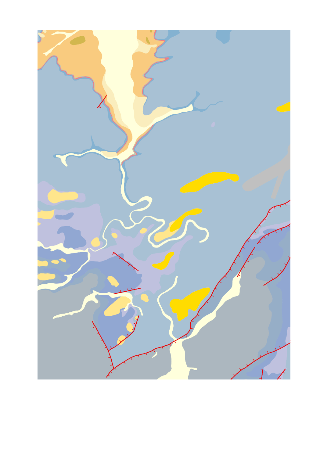
Simplified geological map (uncovered)
-
Geological cross-sections
-
Cartes de géophysique aéroportée, Comptage K
-
Cartes de géophysique aéroportée, Comptage U
-

This function allows for the request of a query of the geological 3D-Model of the Guttland. This automatically generated report contains a prediction of the geological units with a graphical representation as a 'virtual drilling' in XLSX and PDF format. The request is started by clicking with the left mouse button on a location (long press on tablets). The layer 'Request virtual drilling' must be visible. Reports can only be generated inside the visible area of the geological map. Fill in your email address and click the 'Request report' button.
-
Reference drillings
-
Carte géol. Wies & Siegen 1:40k 1877
-
This function allows for the request of a query of the geological 3D-Model of the Guttland. This automatically generated report contains a prediction of the geological units with a graphical representation as a 'virtual drilling' in XLSX and PDF format. The request is started by clicking with the left mouse button on a location (long press on tablets). The layer 'Request virtual drilling' must be visible. Reports can only be generated inside the visible area of the geological map. Fill in your email address and click the 'Request report' button.
-
Cartes de géophysique aéroportée, Champ total résiduel