 geocatalogue.geoportail.lu
Main>Land surface>Morphometric attributes
Type of resources
Available actions
Keywords
Contact for the resource
Provided by
Groups
Years
Representation types
Update frequencies
status
Scale
-
-
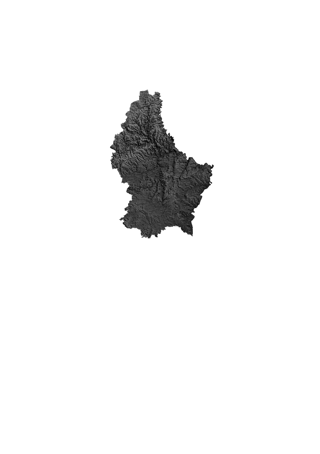
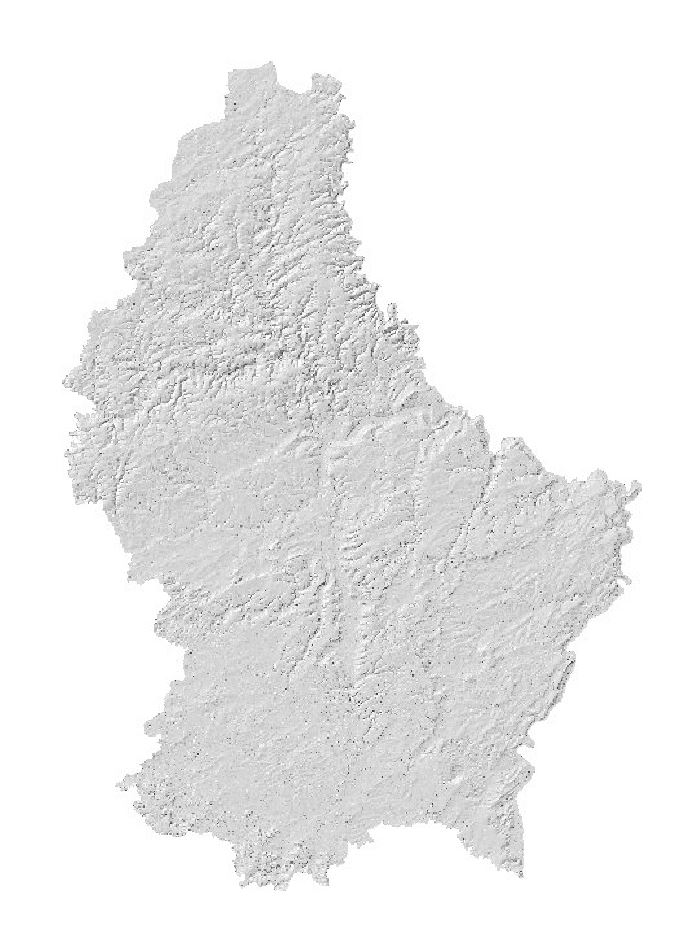
Grayscale relief raster based on Digital Elevation Model from 2017. The DEM from 2017 is based on a photogrammetric exploitation of aerial images and has a ground resolution of 1 m approximately.
-
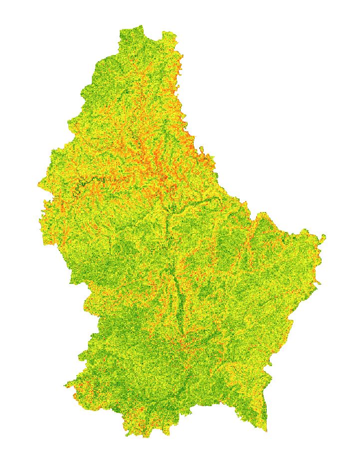
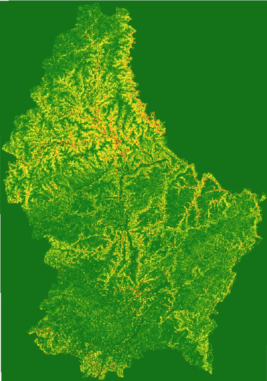
Colorized raster of the slope in degrees based on the digital elevation model of 2024 with a resolution of 50cm.
-
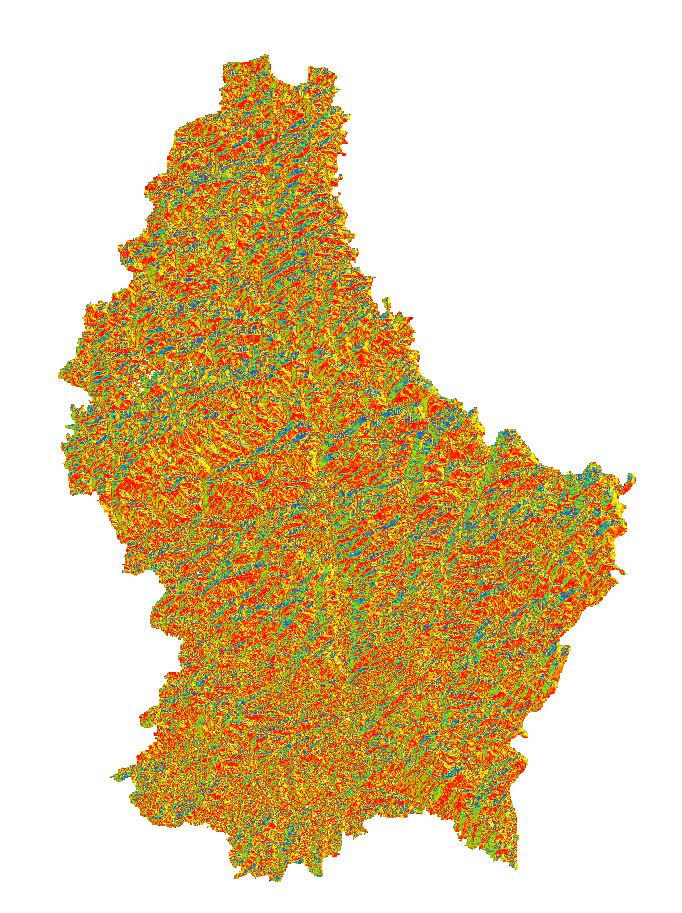
Colorized raster of the aspect based on the digital elevation model of 2024 with a resolution of 50cm.
-
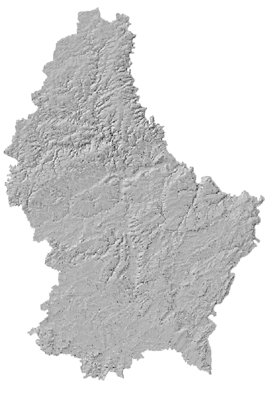
Hillshade based on the digital elevation model of 2024 with a ground resolution of 50cm.
-

Hillshade based on the digital surface model of 2024 with a ground resolution of 50cm.
-

Colorized raster of the aspect based on the digital elevation model of 2019 with a resolution of 50cm.
-
Colorized raster of the slope in degrees based on the digital elevation model of 2019 with a resolution of 50cm.
-
Hillshade based on the digital elevation model of 2019 with a ground resolution of 50cm.