 geocatalogue.geoportail.lu
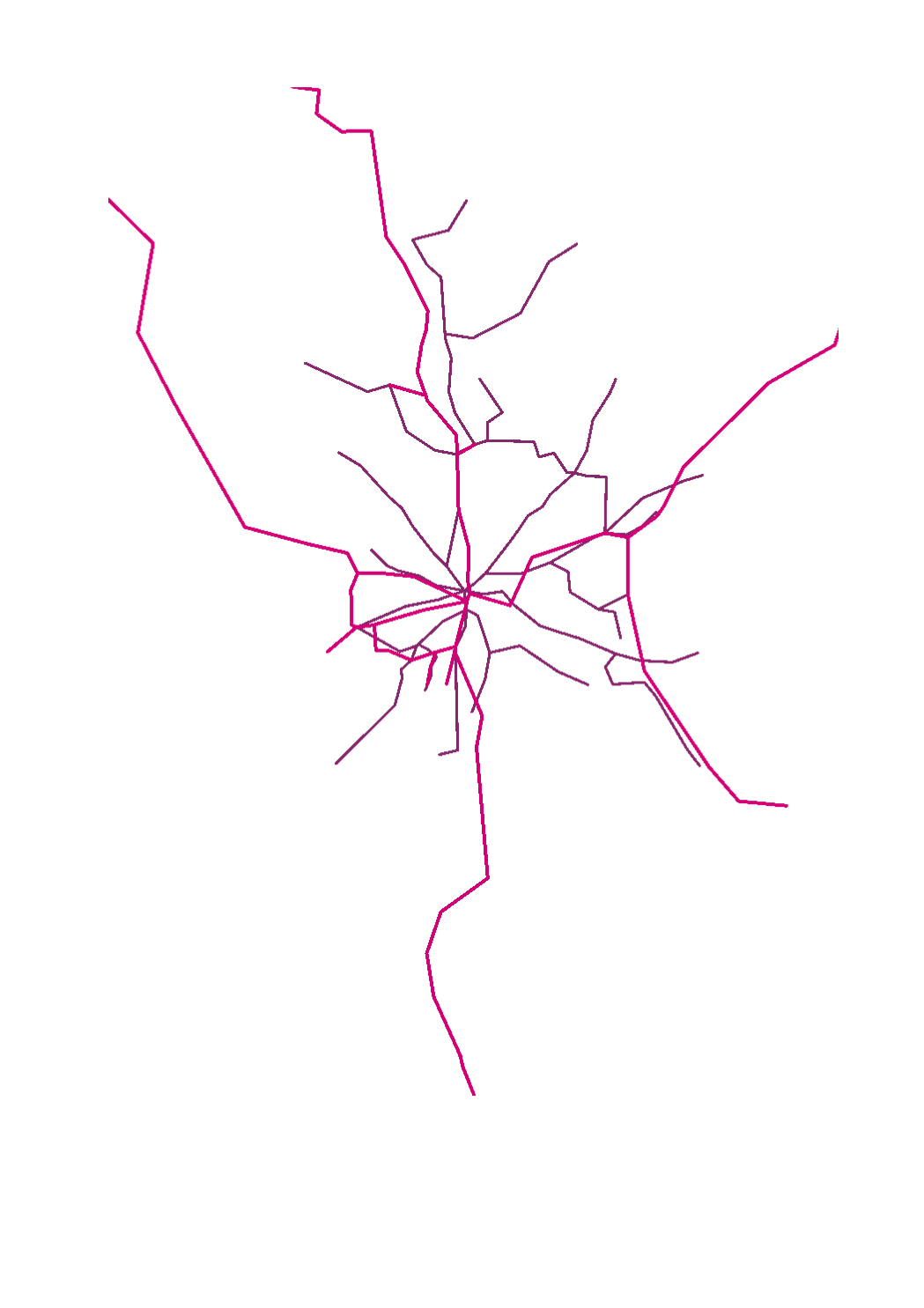
PAG>National planning data>Transport networks
Type of resources
Available actions
Topics
Keywords
Contact for the resource
Provided by
Groups
Years
Representation types
Update frequencies
status
Scale
-
-
This layer contains the official road work sites as they also appear on the CITA website
-

This layer contains the official road work sites as they also appear on the CITA website
-

This layer shows the different locations of the bike sharing stations.
-

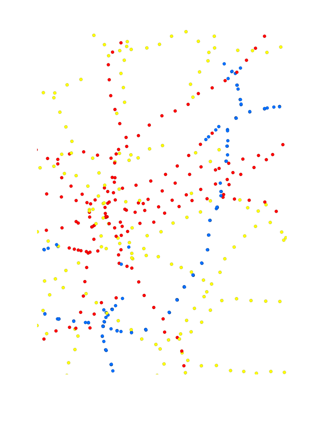
This layer shows the street names, as they are registered in the official town and street names database.
-

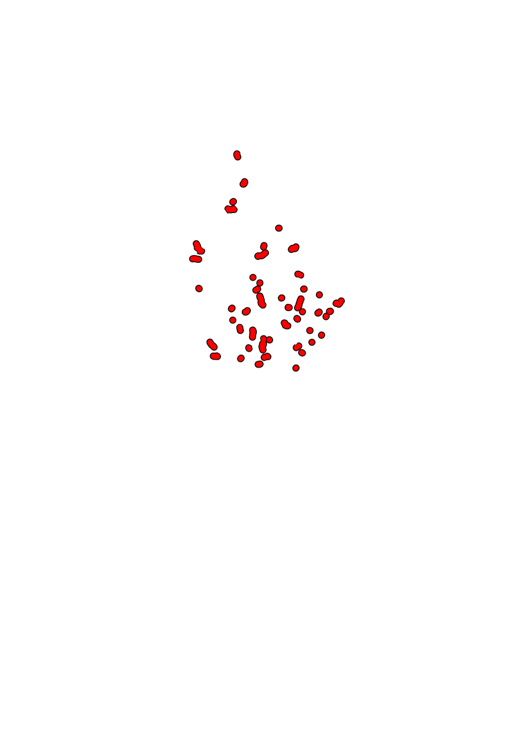
This layer contains the official Localisation of traffic radars installed by the MDDI
-

This layer contains the current road works on the national cycling paths.
-
This layer contains de reference points on state roads
-

This layer contains the locations of public charging stations for electric cars and hybrid plug-in vehicles. Information about availability is shown in real-time. Blue dot = available Green dot = occupied
-

"Park + Ride" parking lots in Luxembourg and the surroundings