 geocatalogue.geoportail.lu
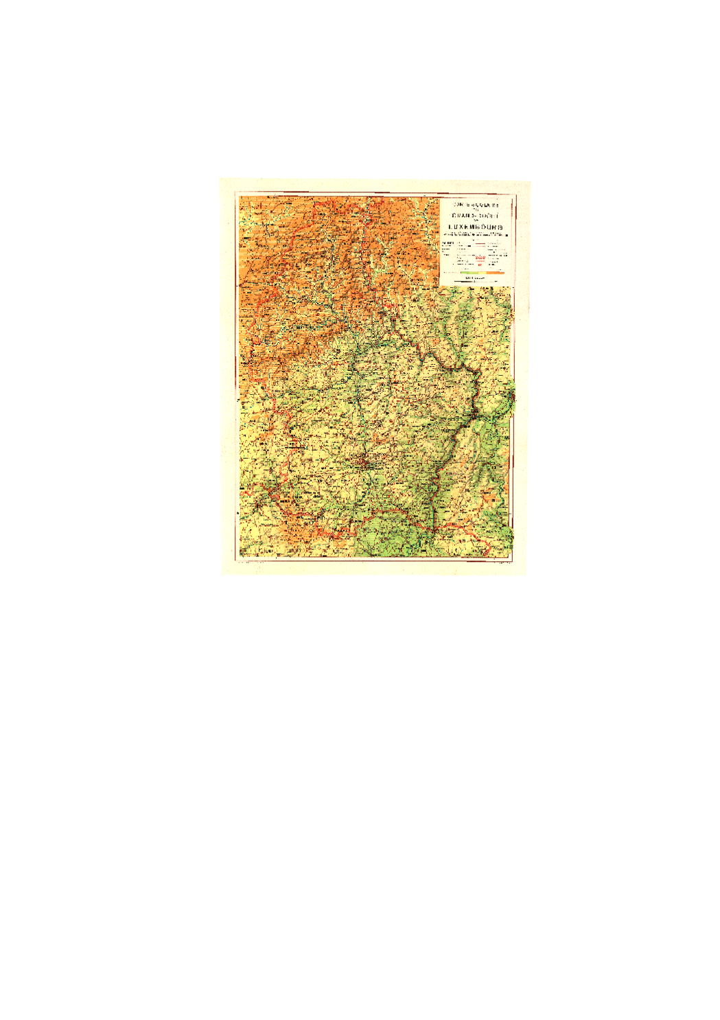
Topographical Map 1:150k 1950
Historic topographic map of Luxembourg for school teaching, 1950 Editeur: Aloyse Linster Auteur: Kümmerly & Frey
Simple
- Identifier
- / f29901f2-c4b0-4250-a332-640e25a84d2e
- Presentation form
- Digital map
- Status
- On going
- Maintenance and update frequency
- As needed
- Entités au Grand-Duché de Luxembourg
-
- Grand-Duché du Luxembourg
- Keywords
-
- map, topography, historic
- Keywords
-
- geoportail.lu
- geoportail.lu themes
-
- Tourism
- Main
- geoportail.lu structure
-
- Tourism>Topographical maps>Historical topographical Maps
- Main>Geographical location>Topographical maps>Historical topographical Maps
- Access constraints
- Other restrictions
- Spatial representation type
- Vector
- Denominator
- 0
- Character set
- UTF8
N
S
E
W
))
- Reference system identifier
- EPSG / http://www.opengis.net/def/crs/EPSG/0/2169
- OnLine resource
-
810
(
OGC:WMS-1.3.0-http-get-map
)
Carte topographique 1:150k 1950
- OnLine resource
-
Topographical Map 1:150k 1950
TOPO_CARTEHISTO_1950
- File identifier
- f29901f2-c4b0-4250-a332-640e25a84d2e XML
- Metadata language
- Français
- Character set
- UTF8
- Hierarchy level
- Dataset
- Hierarchy level name
- dataset
- Date stamp
- 2021-02-04T22:35:46
- Metadata standard name
- ISO 19115:2003/19139
- Metadata standard version
- 1.0
Point of contact
Administration du Cadastre et de la Topographie
-
Administration du Cadastre et de la Topographie
(
)
247-93976
1, Rue Charles Darwin
,
Luxembourg
,
L-1433
,
Luxembourg
247-54400
247-93976
Overviews
Spatial extent
N
S
E
W
Provided by

Associated resources
Not available