 geocatalogue.geoportail.lu
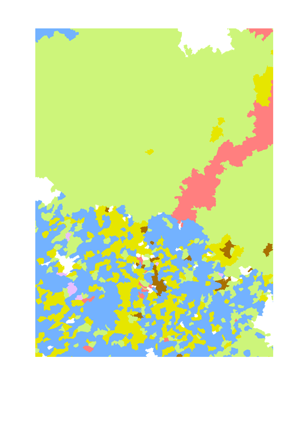
Dominating type of farming
Dominating type of farming in the Greater Region
- Territorial entity, reference year and data source:
- Lorraine: municipality (2010), DRAAF Grand Est
- Luxembourg: municipality (2014), STATEC
- Rhineland-Palatinate: municipal association (VG) (2010), Statistisches Landesamt Rheinland-Pfalz
- Saarland: municipality (2010), Statistisches Amt Saarland
- Wallonia: municipality (2014), Service public Wallonie - DGO3 - DEMNA
- Harmonization: SIG-GR / GIS-GR 2016
Simple
- Identifier
- / 3c3b0797-a43e-4669-b446-1b18e59e2b18
- Presentation form
- Digital map
- Status
- Completed
- Maintenance and update frequency
- As needed
- Keywords
-
- Agriculture, production
- Entités dans la Grande Région
-
- Greater Region
- gis-gr.eu themes
-
- Agriculture
- gis-gr.eu structure
-
- Agriculture>Dominating type of farming
- Keywords
-
- gis-gr.eu
- Access constraints
- Other restrictions
- Spatial representation type
- Vector
- Denominator
- 250000
- Metadata language
- English
- Metadata language
- Français
- Metadata language
- Deutsch
- Character set
- UTF8
- Topic category
-
- Farming
))
- Reference system identifier
- EPSG / http://www.opengis.net/def/crs/EPSG/0/3857
- Distribution format
-
-
SHAPE
()
-
PDF
()
-
JPEG
()
-
SHAPE
()
- OnLine resource
- Interactive map ( WWW:LINK-1.0-http--samples )
- OnLine resource
- Open data ( WWW:LINK-1.0-http--link )
- OnLine resource
-
dominating_type_farming_2010-2014
(
OGC:WMS-1.3.0-http-get-map
)
dominating_type_farming_2010-2014
- OnLine resource
-
Agriculture:dominating_type_farming_2010-2014
(
OGC:WFS
)
dominating_type_farming_2010-2014
- File identifier
- 3c3b0797-a43e-4669-b446-1b18e59e2b18 XML
- Metadata language
- Français
- Character set
- UTF8
- Hierarchy level
- Dataset
- Hierarchy level name
- dataset
- Date stamp
- 2025-01-10T09:02:36
- Metadata standard name
- ISO 19115:2003/19139
- Metadata standard version
- 1.0
Overviews
Spatial extent
Provided by
