 geocatalogue.geoportail.lu
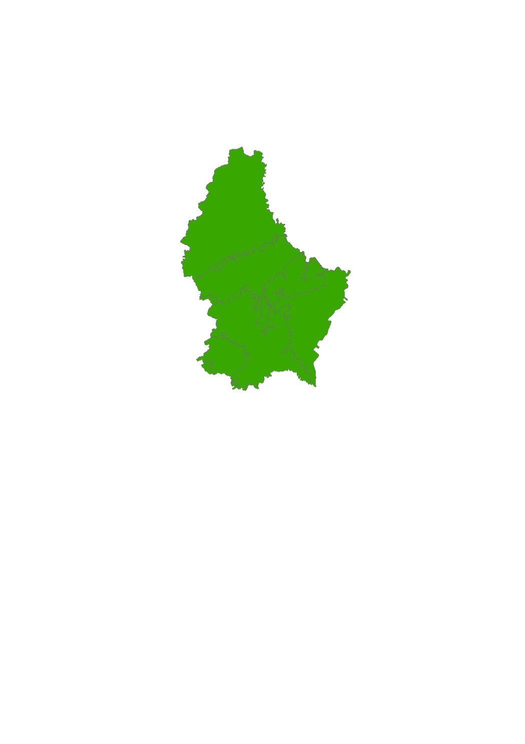
Quantitative status of the WB 2015
The WFD's quantitative status objectives aim to ensure a balance between groundwater withdrawal and recharge.
Simple
- Identifier
- / 333c7e4f-cdc3-439a-aa13-ca0f9138c764
- Presentation form
- Digital map
- Status
- On going
- Maintenance and update frequency
- As needed
- Entités au Grand-Duché de Luxembourg
-
- Grand-Duché du Luxembourg
- Keywords
-
- quantitative, groundwater
- Keywords
-
- geoportail.lu
- geoportail.lu themes
-
- Water
- Main
- geoportail.lu structure
-
- Water>Water framework directive [WFD]>River Basin Management Plan 2015>Water bodies [WB] status 2015>Groundwater 2015
- Main>Environment, Biology and Geology>Water framework directive [WFD]>River Basin Management Plan 2015>Water bodies [WB] status 2015>Groundwater 2015
- Access constraints
- Other restrictions
- Spatial representation type
- Vector
- Denominator
- 0
- Character set
- UTF8
N
S
E
W
))
- Reference system identifier
- EPSG / http://www.opengis.net/def/crs/EPSG/0/2169
- OnLine resource
-
592
(
OGC:WMS-1.3.0-http-get-map
)
Etat quantitatif des ME souterraine 2015
- OnLine resource
-
Quantitative status of the WB 2015
eau_new_Quantitativer_Zustand_der_WK_2015
- File identifier
- 333c7e4f-cdc3-439a-aa13-ca0f9138c764 XML
- Metadata language
- Français
- Character set
- UTF8
- Hierarchy level
- Dataset
- Hierarchy level name
- dataset
- Date stamp
- 2021-02-04T23:41:07
- Metadata standard name
- ISO 19115:2003/19139
- Metadata standard version
- 1.0
Point of contact
Administration de la gestion de l'eau
-
Administration de la gestion de l'eau
(
)
1, avenue du Rock'n'Roll
,
Esch-sur-Alzette
,
L-4361
,
Luxembourg
24556 1
Overviews
Spatial extent
N
S
E
W
Provided by

Associated resources
Not available