 geocatalogue.geoportail.lu
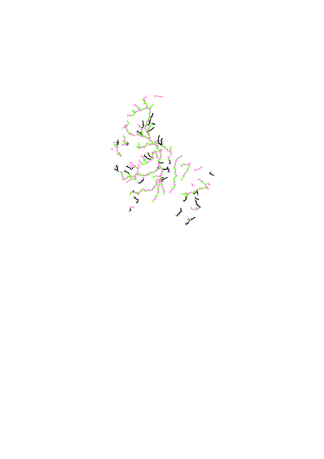
Fishing sections
Alignment of fishing sections in surface water
Simple
- Identifier
- / bd6be85a-cec4-4e4d-9657-cffa242db28f
- Presentation form
- Digital map
- Status
- On going
Point of contact
Administration de la gestion de l'eau
-
Division de la protection des eaux
1, avenue du Rock'n'Roll
,
Esch-sur-Alzette
,
L-4361
,
Luxembourg
24556 300
- Entités au Grand-Duché de Luxembourg
-
- Grand-Duché du Luxembourg
- Keywords
-
- Keywords
-
- fish
- fishery
- fishing sections
- surface water
- sections de pêche
- geoportail.lu
- geoportail.lu themes
-
- Water
- Main
- geoportail.lu structure
-
- Water>Surface waters>Fishery service
- Main>Land surface>Surface waters>Fishery service
- Use constraints
- Other restrictions
- Other constraints
- Creative Commons 1.0 Universal (CC0 1.0) Public Domain Dedication
- Spatial representation type
- Vector
- Denominator
- 5000
- Metadata language
- Deutsch
- Character set
- UTF8
- Topic category
-
- Environment
- Inland waters
N
S
E
W
))
- Maintenance and update frequency
- yearly
- Reference system identifier
- EPSG / http://www.opengis.net/def/crs/EPSG/0/2169
- OnLine resource
-
626
(
OGC:WMS-1.3.0-http-get-map
)
Sections de pêche
- OnLine resource
-
Fishing sections
eau_new_Fischereiabschnitte
- File identifier
- bd6be85a-cec4-4e4d-9657-cffa242db28f XML
- Metadata language
- Français
- Character set
- UTF8
- Hierarchy level
- Dataset
- Hierarchy level name
- dataset
- Date stamp
- 2022-12-09T11:59:18
- Metadata standard name
- ISO 19115:2003/19139
- Metadata standard version
- 1.0
Point of contact
Administration de la gestion de l'eau
-
Division de la protection des eaux
1, avenue du Rock'n'Roll
,
Esch-sur-Alzette
,
L-4361
,
Luxembourg
24556 300
Overviews
Spatial extent
N
S
E
W
Provided by

Associated resources
Not available