 geocatalogue.geoportail.lu
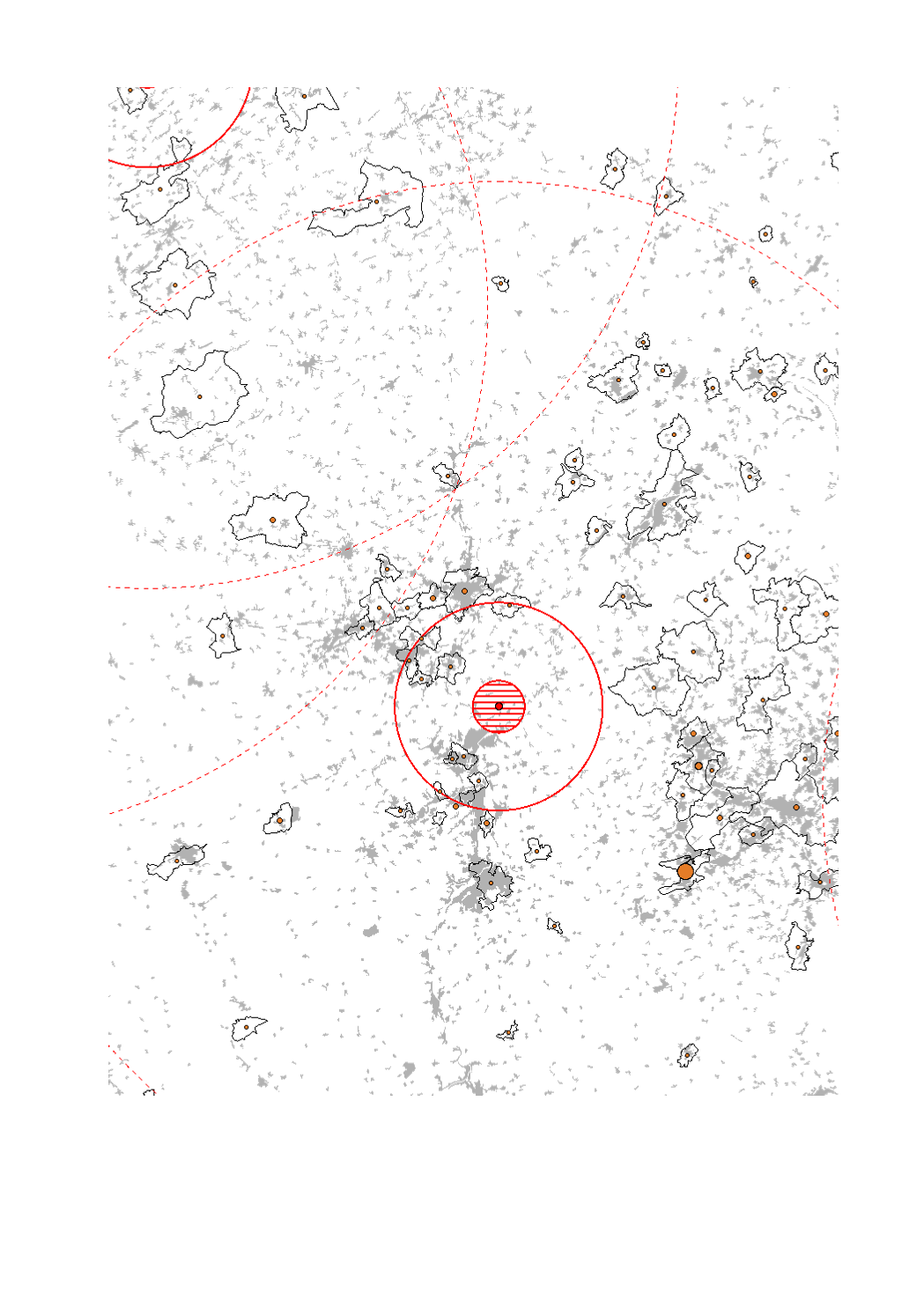
Seveso establishments and nuclear power plants 2018
- Nuclear power plants
- Preparation area: evacuation and iodine ingestion
- Extension strategy: evacuation and iodine ingestion
- Number of SEVESO establishments per municipality
- Corine Land Cover 2018: artificial surfacess
- Data sources: EEA CORINE Landcover 2018; DREAL 2018; ITM 2018 ; MUEF LFU 2018 ; LUA n.d.; SPW 2016. Harmonization: IGEAT 2018
Simple
- Date (Creation)
- 2019-08-23T00:00:00
- Citation identifier
- / e17a988d-aefe-4bb2-8512-965a24790259
- Presentation form
- Digital map
- Status
- Completed
- Point of contact
-
Organisation name Individual name Electronic mail address Role SIG-GR - Ministère de l'Energie et de l'Aménagement du territoire - Département de l'aménagement du territoire
Thierry Hengen
Author
- Maintenance and update frequency
- Continual
- Keywords
-
-
Seveso, nuclear power plants
-
-
Entités dans la Grande Région
-
-
Greater Region
-
-
gis-gr.eu themes
-
-
Security & prevention
-
-
gis-gr.eu structure
-
-
Security & prevention>Industrial and nuclear risks
-
- Keywords
-
-
gis-gr.eu
-
- Access constraints
- Other restrictions
- Spatial representation type
- Vector
- Denominator
- 250000
- Language
- English
- Language
- Deutsch
- Language
- Français
- Character set
- UTF8
- Topic category
-
- Utilities communication
))
- Reference system identifier
- EPSG / http://www.opengis.net/def/crs/EPSG/0/3857
- Distribution format
-
Name Version SHAPE
PDF
JPEG
- OnLine resource
Metadata
- File identifier
- e17a988d-aefe-4bb2-8512-965a24790259 XML
- Metadata language
- Français
- Character set
- UTF8
- Hierarchy level
- Dataset
- Hierarchy level name
-
dataset
- Date stamp
- 2025-01-09T14:36:56
- Metadata standard name
-
ISO 19115:2003/19139
- Metadata standard version
-
1.0
- Metadata author
-
Organisation name Individual name Electronic mail address Role SIG-GR - Ministère de l'Energie et de l'Aménagement du territoire - Département de l'aménagement du territoire
Thierry Hengen
Point of contact
- Other language
-
Language Character encoding English UTF8 German UTF8 French UTF8
)))