 geocatalogue.geoportail.lu
Provisional (drinking water) safeguard zones
Provisionally delimited safeguard zones used to protect sources and drillings.
Simple
- Identifier
- / ddc51f25-2fb7-4d14-866a-a08f8af8ef03
- Presentation form
- Digital map
- Status
- On going
- Entités au Grand-Duché de Luxembourg
-
- Grand-Duché du Luxembourg
- Keywords
-
- Keywords
-
- Provisional water protection areas
- geoportail.lu
- geoportail.lu themes
-
- Agriculture
- Water
- Main
- geoportail.lu structure
-
- Agriculture>Protected sites
- Water>Drinking water safeguard zones [ZPS]
- Main>Environment, Biology and Geology>Drinking water safeguard zones [ZPS]
- Use constraints
- Other restrictions
- Other constraints
- Creative Commons 1.0 Universal (CC0 1.0) Public Domain Dedication
- Spatial representation type
- Vector
- Denominator
- 0
- Metadata language
- ltz
- Metadata language
- Deutsch
- Metadata language
- Français
- Metadata language
- English
- Character set
- UTF8
- Topic category
-
- Environment
- Inland waters
N
S
E
W
))
- Maintenance and update frequency
- Weekly
- Reference system identifier
- EPSG / http://www.opengis.net/def/crs/EPSG/0/2169
- OnLine resource
-
214
(
OGC:WMS-1.3.0-http-get-map
)
ZPS provisoires
- OnLine resource
-
Provisional ZPS
(
WWW:LINK-1.0-http--link
)
eau_new_Provisorische_ZPS
- File identifier
- ddc51f25-2fb7-4d14-866a-a08f8af8ef03 XML
- Metadata language
- Français
- Character set
- UTF8
- Hierarchy level
- Dataset
- Hierarchy level name
- dataset
- Date stamp
- 2022-11-29T15:02:07
- Metadata standard name
- ISO 19115:2003/19139
- Metadata standard version
- 1.0
Overviews
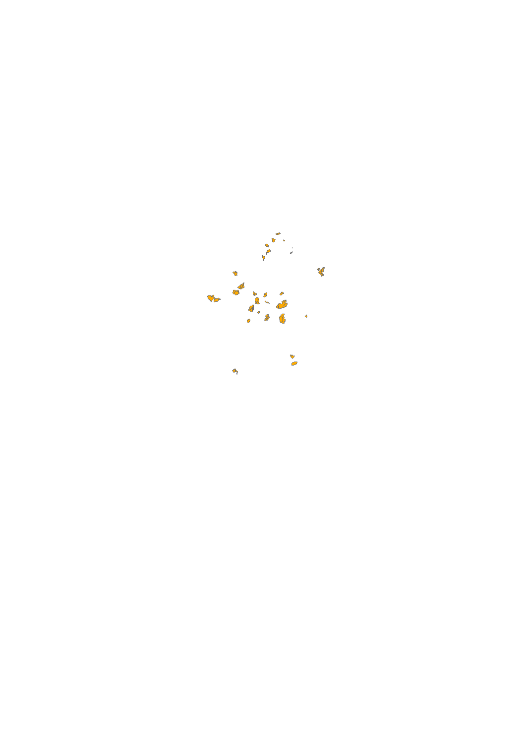
Spatial extent
N
S
E
W
Provided by

Associated resources
Not available