 geocatalogue.geoportail.lu
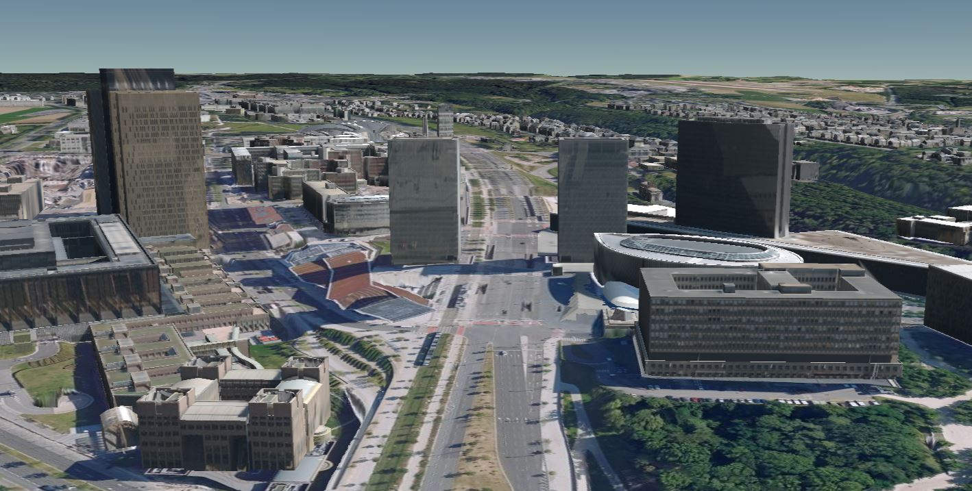
3D Buildings (Luxembourg City)
3D buildings with LOD 2.2 classification on the municipal territory of Luxembourg City in 2019.
Simple
- Identifier
- / a116f21e-faf1-4bdd-9a29-064fd9a30b8d
- Presentation form
- Digital map
- Status
- On going
- Maintenance and update frequency
- As needed
- Entités au Grand-Duché de Luxembourg
-
- municipality - Luxembourg
- Keywords
-
- 3D, buildings
- Keywords
-
- geoportail.lu
- Keywords
-
- geoportail.lu themes
-
- Main
- Spatial representation type
- Vector
- Denominator
- 0
- Character set
- UTF8
N
S
E
W
))
- Reference system identifier
- EPSG / http://www.opengis.net/def/crs/EPSG/0/2169
- OnLine resource
- 3D Buildings (Luxembourg City) ( UKST )
- OnLine resource
- https://maps.vdl.lu ( WWW:LINK-1.0-http--link )
- File identifier
- a116f21e-faf1-4bdd-9a29-064fd9a30b8d XML
- Metadata language
- Français
- Character set
- UTF8
- Hierarchy level
- Dataset
- Hierarchy level name
- dataset
- Date stamp
- 2022-07-27T06:57:46
- Metadata standard name
- ISO 19115:2003/19139
- Metadata standard version
- 1.0
Point of contact
Ville de Luxembourg - Service Topographie et géomatique
-
Service Topographie et géomatique
https://data.public.lu/fr/organizations/56fa348c0d6ceb594137f07c
3, rue du Laboratoire
,
Luxembourg
,
L-1911
,
Luxembourg
4796-4071
https://data.public.lu/fr/organizations/56fa348c0d6ceb594137f07c
Overviews

Spatial extent
N
S
E
W
Provided by

Associated resources
Not available