 geocatalogue.geoportail.lu
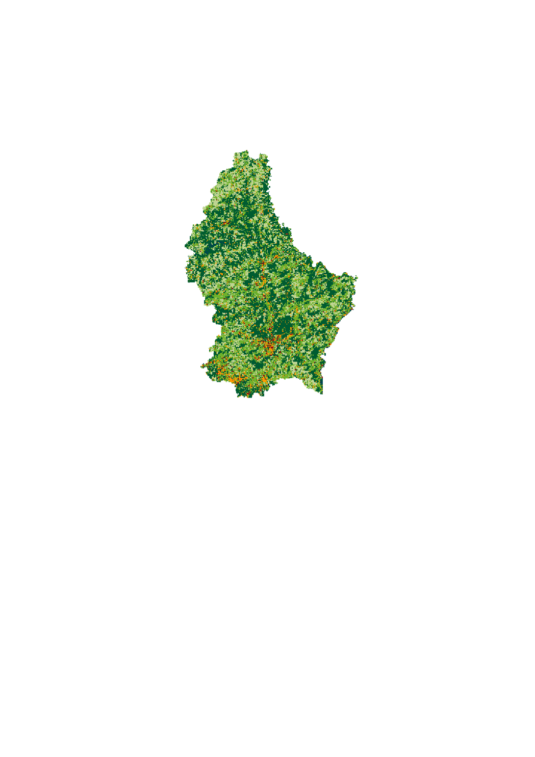
Landcover 2015
Land cover corresponds to a physical description of space, the observed (bio)physical cover of the earth's surface . It is that which overlays or currently covers the ground.
Simple
- Identifier
- / 7012fa2f-5f37-4aa3-a929-d8c0cdedf408
- Presentation form
- Digital map
- Status
- On going
Point of contact
Département de l'aménagement du territoire
-
Ministère de l’Environnement, du Climat et du Développement durable & Ministère de l’Énergie et de l’Aménagement du territoire
4, Place de l'Europe
,
Luxembourg
,
L-1499
,
Luxembourg
247 86924
- Maintenance and update frequency
- As needed
- Entités au Grand-Duché de Luxembourg
-
- Grand-Duché du Luxembourg
- Keywords
-
- Keywords
-
- Landcover
- OBS
- geoportail.lu
- geoportail.lu themes
-
- Environment
- Main
- geoportail.lu structure
-
- Environment>Land use
- Main>Land surface>Land use
- Use constraints
- Other restrictions
- Other constraints
- Creative Commons 1.0 Universal (CC0 1.0) Public Domain Dedication
- Spatial representation type
- Vector
- Denominator
- 0
- Character set
- UTF8
N
S
E
W
))
- Reference system identifier
- EPSG / http://www.opengis.net/def/crs/EPSG/0/2169
- OnLine resource
- https://data.public.lu/fr/datasets/landcover-landuse-2015-1/ ( WWW:LINK-1.0-http--link )
- OnLine resource
-
Landcover 2015
LISL_Landcover_2015
- File identifier
- 7012fa2f-5f37-4aa3-a929-d8c0cdedf408 XML
- Metadata language
- Français
- Character set
- UTF8
- Hierarchy level
- Dataset
- Hierarchy level name
- dataset
- Date stamp
- 2021-02-15T14:56:24
- Metadata standard name
- ISO 19115:2003/19139
- Metadata standard version
- 1.0
Point of contact
Département de l'aménagement du territoire
-
Ministère de l’Environnement, du Climat et du Développement durable & Ministère de l’Énergie et de l’Aménagement du territoire
4, Place de l'Europe
,
Luxembourg
,
L-1499
,
Luxembourg
247 86924
Overviews
Spatial extent
N
S
E
W
Provided by

Associated resources
Not available