 geocatalogue.geoportail.lu
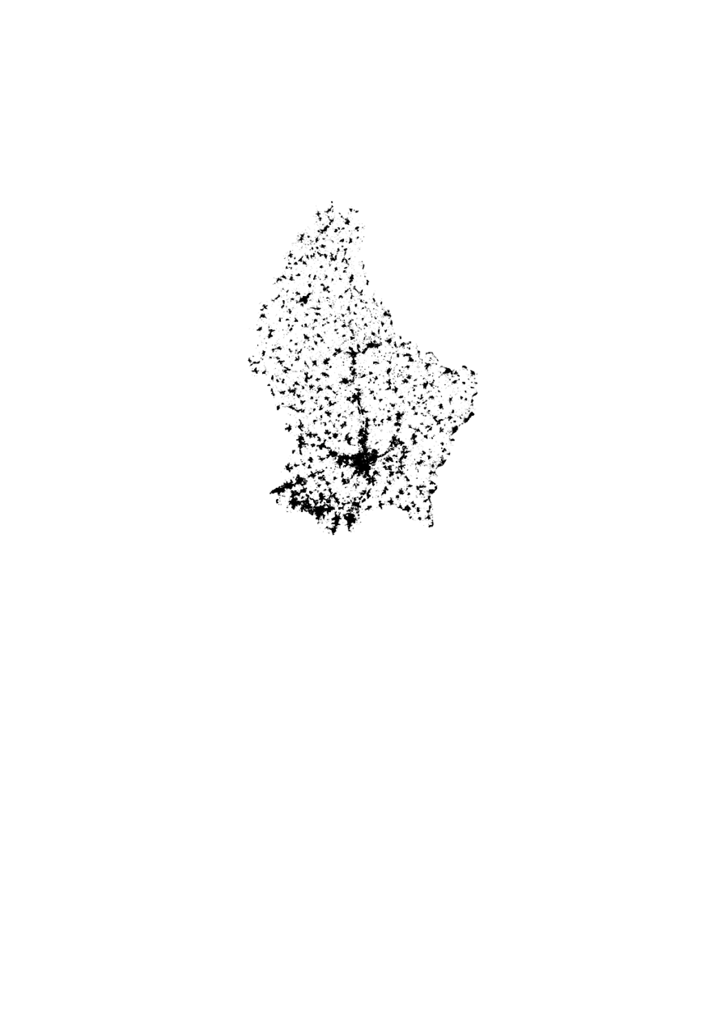
Buildings on the cadastral map
This layer contains the buildings from the cadastral map. It cannot be shown together with geodata of another type of precision.
Simple
- Identifier
- / 5d0efc9d-a05a-4964-9f9d-a0ab9932af04
- Presentation form
- Digital map
- Status
- On going
Point of contact
Administration du Cadastre et de la Topographie
-
Service du géoportail et de l'ILDG (ACT)
1, Rue Charles Darwin
,
Luxembourg
,
L-1433
,
Luxembourg
24754401
Point of contact
No information provided.
Point of contact
No information provided.
Point of contact
No information provided.
Point of contact
No information provided.
Point of contact
No information provided.
Point of contact
No information provided.
Point of contact
No information provided.
Point of contact
No information provided.
Point of contact
No information provided.
Point of contact
No information provided.
- Maintenance and update frequency
- As needed
- Entités au Grand-Duché de Luxembourg
-
- Grand-Duché du Luxembourg
- Keywords
-
- Keywords
-
- parcel
- layer
- building
- plan cadastral numérisé
- parcelles cadastrales
- geoportail.lu
- geoportail.lu themes
-
- Urban Farming
- Main
- geoportail.lu structure
-
- Urban Farming>Cadastral data
- Main>Geographical location>Cadastral data
- Main>Infrastructure and communication>Buildings
- Use constraints
- Other restrictions
- Other constraints
- Attribution 4.0 International (CC BY 4.0)
- Spatial representation type
- Vector
- Denominator
- 0
- Metadata language
- Français
- Metadata language
- Deutsch
- Metadata language
- English
- Metadata language
- ltz
- Character set
- UTF8
- Topic category
-
- Geoscientific information
- Planning cadastre
N
S
E
W
))
- Reference system identifier
- EPSG / http://www.opengis.net/def/crs/EPSG/0/2169
- OnLine resource
-
199
(
OGC:WMS-1.3.0-http-get-map
)
Bâtiments
- OnLine resource
-
buildings
(
OGC:WMS-1.3.0-http-get-map
)
buildings
- OnLine resource
-
Buildings
buildings
- File identifier
- 5d0efc9d-a05a-4964-9f9d-a0ab9932af04 XML
- Metadata language
- Français
- Character set
- UTF8
- Hierarchy level
- Dataset
- Hierarchy level name
- dataset
- Date stamp
- 2021-02-04T22:48:05
- Metadata standard name
- ISO 19115:2003/19139
- Metadata standard version
- 1.0
Point of contact
Administration du Cadastre et de la Topographie
-
Service du géoportail et de l'ILDG (ACT)
1, Rue Charles Darwin
,
Luxembourg
,
L-1433
,
Luxembourg
24754401
Overviews
Spatial extent
N
S
E
W
Provided by

Associated resources
Not available