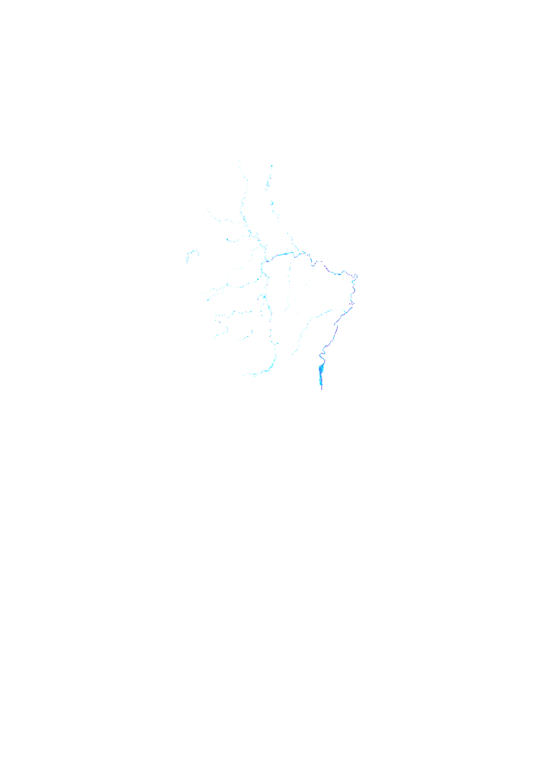
Flood hazard maps (100 year flood) 2013
scenario of the flood hazard map which shows the floodplain of a modeled 100-year flood event, as demanded by the floods directive 2007/60/EC
Simple
- Date (Creation)
- 2010-12-22T00:00:00
- Date (Revision)
- 2013-12-22T00:00:00
- Identifier
- / 4d56f6bf-055b-413b-a0dd-36720429c7b0
- Presentation form
- Digital map
- Status
- On going
Point of contact
Administration de la gestion de l'eau
-
Division de l'hydrologie
1, avenue du Rock'n'Roll
,
Esch-sur-Alzette
,
L-4361
,
Luxembourg
24556 200
- Maintenance and update frequency
- As needed
- Entités au Grand-Duché de Luxembourg
-
- Grand-Duché du Luxembourg
- Keywords
-
- Keywords
-
- maps
- hazard
- 100 year flood event
- modeled flood event
- geoportail.lu
- geoportail.lu themes
-
- Water
- PAG
- Lenoz
- Lintgen
- Main
- geoportail.lu structure
-
- Water>Floods directive [FD]>Flood hazard maps 2013
- PAG>National planning data>Water management
- Lenoz>Floods directive [FD]>Flood hazard maps 2013
- Lintgen>Water data>Flood hazard maps 2013
- Main>Environment, Biology and Geology>Floods directive [FD]>Flood hazard maps 2013
- Use constraints
- Other restrictions
- Other constraints
- Creative Commons 1.0 Universal (CC0 1.0) Public Domain Dedication
- Spatial representation type
- Vector
- Denominator
- 0
- Metadata language
- Français
- Character set
- UTF8
- Topic category
-
- Geoscientific information
- Inland waters
- Environment
N
S
E
W
))
- Reference system identifier
- EPSG / http://www.opengis.net/def/crs/EPSG/0/2169
- Distribution format
-
-
SHAPE
()
-
DXF
()
-
SHAPE
()
- OnLine resource
-
HQ100 [medium probability]
eau_new_HQ100_mittlere_Wahrscheinlichkeit
- Statement
- Hydrological model out of the Interreg III B project TIMIS flood (Transnational Internet Map Information System on Flooding) adapted in order to satisfy the requirements of the floods directive 2007/60/EC
- File identifier
- 4d56f6bf-055b-413b-a0dd-36720429c7b0 XML
- Metadata language
- Français
- Character set
- UTF8
- Hierarchy level
- Dataset
- Hierarchy level name
- dataset
- Date stamp
- 2021-02-04T22:38:05
- Metadata standard name
- ISO 19115:2003/19139
- Metadata standard version
- 1.0
Point of contact
Administration de la gestion de l'eau
-
Division de l'hydrologie
1, avenue du Rock'n'Roll
,
Esch-sur-Alzette
,
L-4361
,
Luxembourg
24556 200
Overviews

Spatial extent
N
S
E
W
))
Provided by

Associated resources
Not available
 geocatalogue.geoportail.lu