 geocatalogue.geoportail.lu
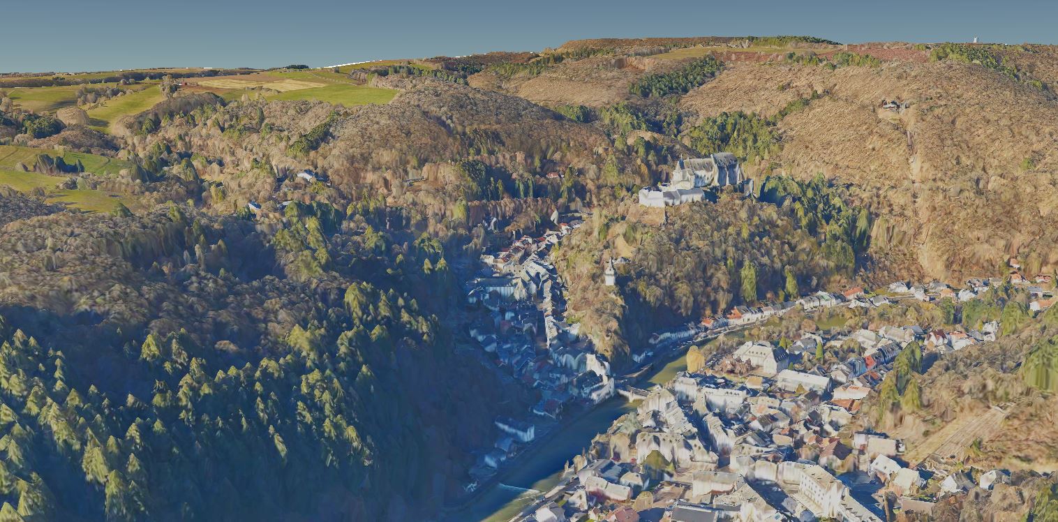
3D terrain model 2019
3D model of the Luxembourg terrain based on vertical aerial images from winter 2019.
Simple
- Identifier
- / 484b4f92-9987-43c9-890a-ecf4e5711cdf
- Presentation form
- Digital map
- Status
- On going
Point of contact
Administration du Cadastre et de la Topographie
-
Administration du Cadastre et de la Topographie
1, Rue Charles Darwin
,
Luxembourg
,
L-1433
,
Luxembourg
247-54400
- Maintenance and update frequency
- As needed
- Entités au Grand-Duché de Luxembourg
-
- Grand-Duché du Luxembourg
- Keywords
-
- Model, 3D, mesh, terrain
- Keywords
-
- geoportail.lu
- intranet
- Keywords
-
- geoportail.lu themes
-
- Main
- Spatial representation type
- Vector
- Denominator
- 0
- Character set
- UTF8
N
S
E
W
))
- Reference system identifier
- EPSG / http://www.opengis.net/def/crs/EPSG/0/2169
- OnLine resource
- 3D model 2019 ( UKST )
- File identifier
- 484b4f92-9987-43c9-890a-ecf4e5711cdf XML
- Metadata language
- Français
- Character set
- UTF8
- Hierarchy level
- Dataset
- Hierarchy level name
- dataset
- Date stamp
- 2022-07-27T07:08:08
- Metadata standard name
- ISO 19115:2003/19139
- Metadata standard version
- 1.0
Point of contact
Administration du Cadastre et de la Topographie
-
Administration du Cadastre et de la Topographie
1, Rue Charles Darwin
,
Luxembourg
,
L-1433
,
Luxembourg
247-54400
Overviews

Spatial extent
N
S
E
W
Provided by

Associated resources
Not available