 geocatalogue.geoportail.lu
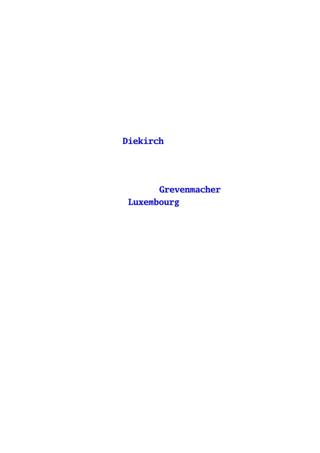
Noms des districts
Nimm vun den Distrikter
Names of the districts
Namen der Distrikte
Cette couche représente les noms 3 districts dans lesquels le territoire du Grand-Duché de Luxembourg est officiellement subdivisé.
Dëse Layer weist d'Nimm vun denen 3 Distrikter an déi d'Gebitt vum Groussherzogtum Lëtzebuerg offiziell ënnerandeelt ass.
This layer shows the names of the 3 districts in which the territory of the Grand-Duchy of Luxemburg is officially divided.
Dieser Layer zeigt die Namen der 3 Distrikte in welche das Gebiet des Großherzogtums Luxemburg offiziell unterteilt ist.
Simple
-
IdentificateurIdentificateurCitation identifierIdentifikator
- / c42842e2-834a-427a-99f6-eb8cb79d1db4
-
Forme de la présentationForme de la présentationPresentation formPräsentationsform
-
Carte numériqueCarte numériqueDigital mapDigitale Karte
-
EtatEtatStatusBearbeitungsstatus
-
Mise à jour continueMise à jour continueOn goingKontinuierliche Aktualisierung
- Point of contact
-
Organisation name Individual name Electronic mail address Role Administration du Cadastre et de la Topographie
Service du géoportail et de l'ILDG (ACT)
Point de contactPoint de contactPoint of contactAnsprechpartner
-
Fréquence de mise à jourFréquence de mise à jourMaintenance and update frequencyÜberarbeitungsintervall
-
Lorsque nécessaireLorsque nécessaireAs neededBei Bedarf
-
Entités au Grand-Duché de Luxembourg
-
-
Grand-Duché du Luxembourg
Grand-Duché du Luxembourg
Grand-Duché du Luxembourg
Grand-Duché du Luxembourg
-
- Keywords
-
- Keywords
-
-
limites administratives
administrativ Grenzen
administrative boundaries
Verwaltungsgrenzen
-
administration
Ënnerandelung
boundary
Verwaltung
-
subdivision
Gebitt
administration
Unterteilung
-
territoire national
Territoire
subdivision
Hoheitsgebiet
-
canton
Kanton
territory
Kanton
-
commune
Gemeng
canton
Gemeinde
-
district
Distrikt
municipality
Distrikt
-
geoportail.lu
geoportail.lu
geoportail.lu
geoportail.lu
-
-
geoportail.lu themes
-
-
Agriculture
Landwirtschaft
Agriculture
Landwirtschaft
-
Environnement
Emwelt
Environment
Umwelt
-
Tourisme
Tourismus
Tourism
Tourismus
-
Grand Public
Allgemeng
Main
Allgemein
-
PAG
PAG
PAG
PAG
-
-
geoportail.lu structure
-
-
Agriculture>Unités administratives
Agriculture>Unités administratives>Administrativ Eenheeten
Agriculture>Administrative units
Landwirtschaft>Verwaltungseinheiten
-
Environnement>Unités administratives
Environnement>Unités administratives>Administrativ Eenheeten
Environment>Administrative units
Umwelt>Verwaltungseinheiten
-
Tourisme>Unités administratives
Tourisme>Unités administratives>Administrativ Eenheeten
Tourism>Administrative units
Tourismus>Verwaltungseinheiten
-
Grand Public>Données de base>Unités administratives
Grand Public>Données de base>Unités administratives>Administrativ Eenheeten
Main>Geographical location>Administrative units
Allgemein>Basisdaten>Verwaltungseinheiten
-
PAG>Données de base>Unités administratives
PAG>Données de base>Unités administratives>Administrativ Eenheeten
PAG>Geographical location>Administrative units
PAG>Basisdaten>Verwaltungseinheiten
-
-
Contraintes d'utilisationContraintes d'utilisationUse constraintsNutzungseinschränkungen
-
Autres restrictionsAutres restrictionsOther restrictionsBenutzerdefinierte Einschränkungen
- Other constraints
-
Creative Commons 1.0 Universal (CC0 1.0) Public Domain Dedication
-
Type de représentation spatialeType de représentation spatialeSpatial representation typeRäumliche Darstellungsart
-
VecteurVecteurVectorVektor
-
Dénominateur de l'échelleDénominateur de l'échelleDenominatorMaßstabszahl
- 2500
-
Langue de la ressourceLangue de la ressourceLanguageSprache
- Lëtzebuergesch
-
Langue de la ressourceLangue de la ressourceLanguageSprache
- Deutsch
-
Langue de la ressourceLangue de la ressourceLanguageSprache
- Français
-
Langue de la ressourceLangue de la ressourceLanguageSprache
- English
-
Encodage des caractèresEncodage des caractèresCharacter setZeichensatz
-
Utf8Utf8UTF8Utf8
-
Catégorie ISOCatégorie ISOTopic categoryISO-Thematik
-
-
Constructions et ouvragesConstructions et ouvragesStructureBauwerke
-
))
-
Nom du système de référenceNom du système de référenceReference system identifierIdentifikator des Referenzsystems
- EPSG / http://www.opengis.net/def/crs/EPSG/0/2169
- Distribution format
-
Name Version DWG
SHAPE
DXF
- OnLine resource
-
Protocol Linkage Name OGC:WMS-1.3.0-http-get-map
https://wms.geoportail.lu/public_map_layers/service 268
268
268
268
WWW:LINK-1.0-http--link
https://data.public.lu/fr/datasets/limites-administratives-du-grand-duche-de-luxembourg/
- OnLine resource
-
Protocol Linkage Name https://map.geoportail.lu/theme/main?version=3&zoom=8&X=667917&Y=6394482&lang=fr&layers=268&opacities=1 Districts (Noms)
Distrikter (Nimm)
Districts (names)
Bezirke (Namen)
-
Généralités sur la provenanceGénéralités sur la provenanceErläuterungStatement
-
Les limites cantonales de ce jeu de données sont déterminées sur base des limites des parcelles et des communes qui se trouvent dans les cantons respectifs.
D'Grenzen vun de Kantoner an dësem Datesaz si baséiert op de Grenzen vun de Parzellen an Gemengen déi an de verschiddenen Kantoner leien.
Die Grenzen der Kantone in diesem Datensatz entstehen auf der Basis der Parzellen- und Gemeindegrenzen die in den jeweiligen Kantonen liegen.
The limits of the cantons in this dataset are based upon the borders of the parcels and the municipalities that lie within the respective cantons.
Metadata
-
Identifiant de la ficheIdentifiant de la ficheFile identifierMetadatensatzidentifikator
- c42842e2-834a-427a-99f6-eb8cb79d1db4 XML
-
LangueLangueMetadata languageSprache
- Français
-
Jeu de caractèresJeu de caractèresCharacter setZeichensatz
-
Utf8Utf8UTF8Utf8
-
Type de ressourceType de ressourceHierarchy levelHierarchieebene
-
Jeu de donnéesJeu de donnéesDatasetDatenbestand
- Hierarchy level name
-
dataset
-
Date des métadonnéesDate des métadonnéesDate stampDatum
- 2021-02-04T22:01:03
- Metadata standard name
-
ISO 19115:2003/19139
- Metadata standard version
-
1.0
- Metadata author
-
Organisation name Individual name Electronic mail address Role Administration du Cadastre et de la Topographie
Service du géoportail et de l'ILDG (ACT)
Point de contactPoint de contactPoint of contactAnsprechpartner
- Other language
-
Language Character encoding FrançaisFranséischFrenchFranzösischUtf8Utf8UTF8Utf8LuxembourgeoisLëtzebuergeschLuxembourgish; LetzeburgeschLuxemburgischUtf8Utf8UTF8Utf8AnglaisEngleschEnglishEnglischUtf8Utf8UTF8Utf8AllemandDäitschGermanDeutschUtf8Utf8UTF8Utf8
)))