 geocatalogue.geoportail.lu
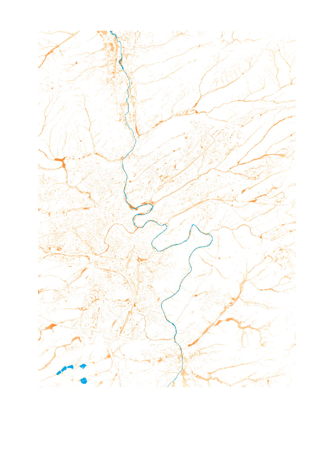
Flood depth [D60 T100]
This map shows the extent and inundation depth of surface runoff in a 100-year heavy rainfall scenario [D60T100].
Simple
- Citation identifier
- / 9fd959f0-278c-4ca2-86bd-44c68ddec3cb
- Presentation form
- Digital map
- Status
- On going
- Maintenance and update frequency
- As needed
-
Entités au Grand-Duché de Luxembourg
-
-
Grand-Duché du Luxembourg
-
- Keywords
-
-
Flashflood, Flash Flood, Flashflood maps, heavy rainfall, Flashflood risk map
-
- Keywords
-
-
geoportail.lu
-
- Keywords
-
-
intranet
-
-
geoportail.lu themes
-
-
Water
-
Main
-
-
geoportail.lu structure
-
-
Water>Floods directive [FD]>Flashflood
-
Main>Environment, Biology and Geology>Floods directive [FD]>Flashflood
-
- Access constraints
- Other restrictions
- Spatial representation type
- Vector
- Denominator
- 0
- Character set
- UTF8
N
S
E
W
))
- Reference system identifier
- EPSG / http://www.opengis.net/def/crs/EPSG/0/2169
- OnLine resource
-
Protocol Linkage Name https://map.geoportail.lu/theme/main?version=3&zoom=8&X=667917&Y=6394482&lang=fr&layers=1710&opacities=1 Flood depth [D60 T100]
Metadata
- File identifier
- 9fd959f0-278c-4ca2-86bd-44c68ddec3cb XML
- Metadata language
- Français
- Character set
- UTF8
- Hierarchy level
- Dataset
- Hierarchy level name
-
dataset
- Date stamp
- 2022-07-01T07:02:32
- Metadata standard name
-
ISO 19115:2003/19139
- Metadata standard version
-
1.0
- Metadata author
-
Organisation name Individual name Electronic mail address Role Administration de la gestion de l'eau
Service hydrologie
- Other language
-
Language Character encoding Luxembourgish; Letzeburgesch UTF8 English UTF8 German UTF8 French UTF8
)))