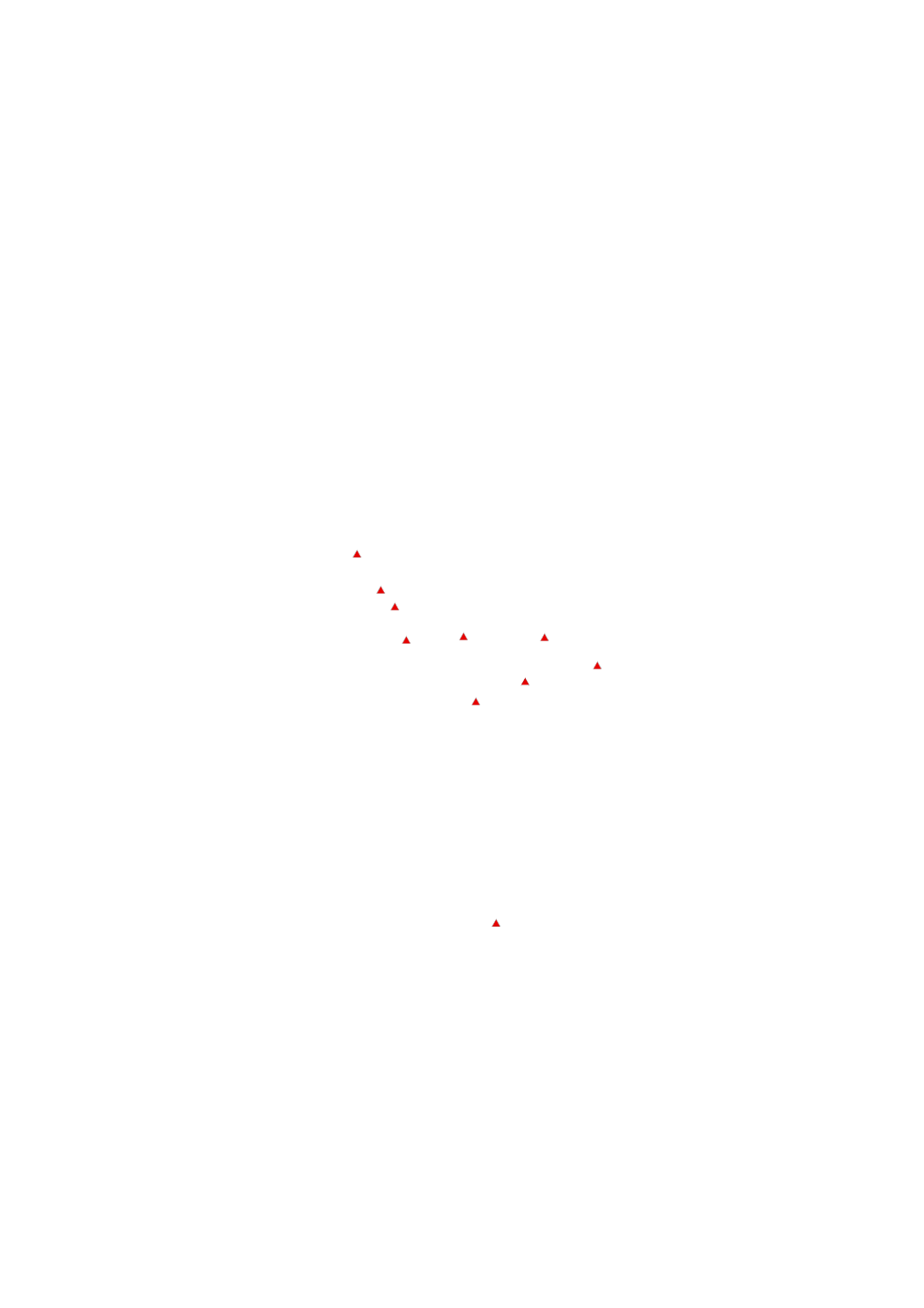
Continuity
The continuity is evaluated in the context of the continuity register of Luxembourg. The results will flow 2015 into the second water management plan. On basis of available data waters were already selected, in which measures are accomplished for the improvement of the continuity until 2015 (48 transverse buildings). The buildings can be considered as a non-priority due to technical feasibility e.g. by lack of space in narrow valleys or in too strongly dropping area or by incompatibility with political objectives e.g. directive of renewable energy.
Simple
- Date (Creation)
- 2011-02-11T00:00:00
- Date (Revision)
- 2017-03-01T00:00:00
- Identifier
- / f35a9072-38d2-4187-bc99-60f5d19c7e89
- Presentation form
- Digital map
- Status
- On going
- Maintenance and update frequency
- As needed
- Entités au Grand-Duché de Luxembourg
-
- Grand-Duché du Luxembourg
- Keywords
-
- continuity, continuity register of Luxembourg, water management plan, priority surface waters, measures, transverse buildings, directive of renewable energy
- Keywords
-
- geoportail.lu
- Keywords
-
- intranet
- geoportail.lu themes
-
- Water
- Main
- geoportail.lu structure
-
- Water>Surface waters>Fishery service
- Main>Land surface>Surface waters>Fishery service
- Access constraints
- Other restrictions
- Spatial representation type
- Vector
- Denominator
- 0
- Character set
- UTF8
N
S
E
W
))
- Reference system identifier
- EPSG / http://www.opengis.net/def/crs/EPSG/0/2169
- OnLine resource
-
Continuity
eau_new_Durchgaengigkeit
- File identifier
- f35a9072-38d2-4187-bc99-60f5d19c7e89 XML
- Metadata language
- Français
- Character set
- UTF8
- Hierarchy level
- Dataset
- Hierarchy level name
- dataset
- Date stamp
- 2022-12-09T12:35:25
- Metadata standard name
- ISO 19115:2003/19139
- Metadata standard version
- 1.0
Point of contact
Administration de la gestion de l'eau
-
Division de l'hydrologie
(
)
24556 7200
1, avenue du Rock'n'Roll
,
Esch-sur-Alzette
,
L-4361
,
Luxembourg
24556 200
24556 7200
Overviews

Spatial extent
N
S
E
W
))
Provided by

Associated resources
Not available
 geocatalogue.geoportail.lu