 geocatalogue.geoportail.lu
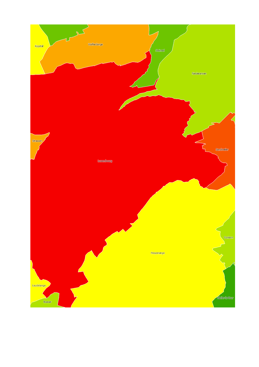
Imperviousness at the municipality level
Imperviousness on the municipality level based on LIS-L Land-Cover 2018
Simple
- Identifier
- / dae9931e-abd9-4f88-8180-024815cd0e1f
- Presentation form
- Digital map
- Status
- On going
- Maintenance and update frequency
- As needed
- Entités au Grand-Duché de Luxembourg
-
- Grand-Duché du Luxembourg
- Keywords
-
- Imperviousness
- Keywords
-
- geoportail.lu
- geoportail.lu themes
-
- Environment
- Main
- geoportail.lu structure
-
- Environment>Land Use and Land Cover>Imperviousness degree
- Main>Land surface>Land Use and Land Cover>Imperviousness degree
- Access constraints
- Other restrictions
- Spatial representation type
- Vector
- Denominator
- 0
- Character set
- UTF8
N
S
E
W
))
- Reference system identifier
- EPSG / http://www.opengis.net/def/crs/EPSG/0/2169
- OnLine resource
-
2281
(
OGC:WMS-1.3.0-http-get-map
)
Taux d'imperméabilisation du sol des communes 2018
- OnLine resource
- https://map.geoportail.lu/theme/emwelt?version=3&zoom=10&X=697083&Y=6413261&lang=lb&rotation=0&layers=2281&opacities=1&bgLayer=basemap_2015_global&crosshair=false ( UKST )
- OnLine resource
- https://data.public.lu/fr/datasets/lis-l-land-cover-2018/ ( WWW:LINK-1.0-http--link )
- File identifier
- dae9931e-abd9-4f88-8180-024815cd0e1f XML
- Metadata language
- Français
- Character set
- UTF8
- Hierarchy level
- Dataset
- Hierarchy level name
- dataset
- Date stamp
- 2022-09-14T13:19:06
- Metadata standard name
- ISO 19115:2003/19139
- Metadata standard version
- 1.0
Point of contact
Département de l'aménagement du territoire
-
Ministère de l’Environnement, du Climat et du Développement durable & Ministère de l’Énergie et de l’Aménagement du territoire
(
)
4, Place de l'Europe
,
Luxembourg
,
L-1499
,
Luxembourg
247 86924
Overviews
Spatial extent
N
S
E
W
Provided by

Associated resources
Not available