 geocatalogue.geoportail.lu
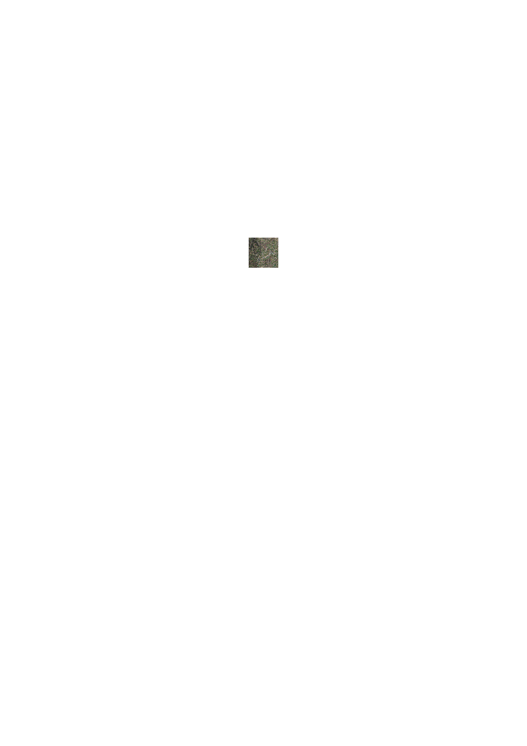
High resolution orthophoto of the Nordstad region (2017)
In 2017, the ACT has executed a prototype project of a LIDAR flight in preparation of a country wide flight in 2018/2019. One of the results of this prototype is a "technical" Orthophoto with a ground resolution of 10 cm. Date of the overflight: 9 april 2017
Simple
- Date (Creation)
- 2017-04-04T00:00:00
- Identifier
- / a2f1a418-6b8b-44e3-9982-1f37d2dbda7e
- Presentation form
- Digital map
- Status
- On going
Point of contact
Administration du Cadastre et de la Topographie
-
Administration du Cadastre et de la Topographie
1, Rue Charles Darwin
,
Luxembourg
,
L-1433
,
Luxembourg
247-54400
- Maintenance and update frequency
- As needed
- Entités au Grand-Duché de Luxembourg
-
- Grand-Duché du Luxembourg
- Keywords
-
- Keywords
-
- Aerial image
- Nordstad
- Ortho
- Orthophoto
- geoportail.lu
- geoportail.lu themes
-
- Main
- geoportail.lu structure
-
- Main>Digital elevation model (BD-L-LiDAR)>LiDAR Prototype 2017 (Nordstad region)
- Main>Land surface>Digital elevation model (BD-L-LiDAR)>LiDAR Prototype 2017 (Nordstad region)
- Use constraints
- Other restrictions
- Other constraints
- Creative Commons 1.0 Universal (CC0 1.0) Public Domain Dedication
- Spatial representation type
- Vector
- Denominator
- 0
- Character set
- UTF8
- Topic category
-
- Imagery base maps earth cover
N
S
E
W
))
- Reference system identifier
- EPSG / http://www.opengis.net/def/crs/EPSG/0/2169
- OnLine resource
-
1379
(
OGC:WMS-1.3.0-http-get-map
)
Orthophoto 2017 (hiver)
- OnLine resource
-
Orthophoto 2017 (winter)
lidar_ortho_2017_winter
- File identifier
- a2f1a418-6b8b-44e3-9982-1f37d2dbda7e XML
- Metadata language
- Français
- Character set
- UTF8
- Hierarchy level
- Dataset
- Hierarchy level name
- dataset
- Date stamp
- 2021-02-04T22:23:44
- Metadata standard name
- ISO 19115:2003/19139
- Metadata standard version
- 1.0
Point of contact
Administration du Cadastre et de la Topographie
-
Administration du Cadastre et de la Topographie
1, Rue Charles Darwin
,
Luxembourg
,
L-1433
,
Luxembourg
247-54400
Overviews
Spatial extent
N
S
E
W
Provided by

Associated resources
Not available