geocatalogue.geoportail.lu
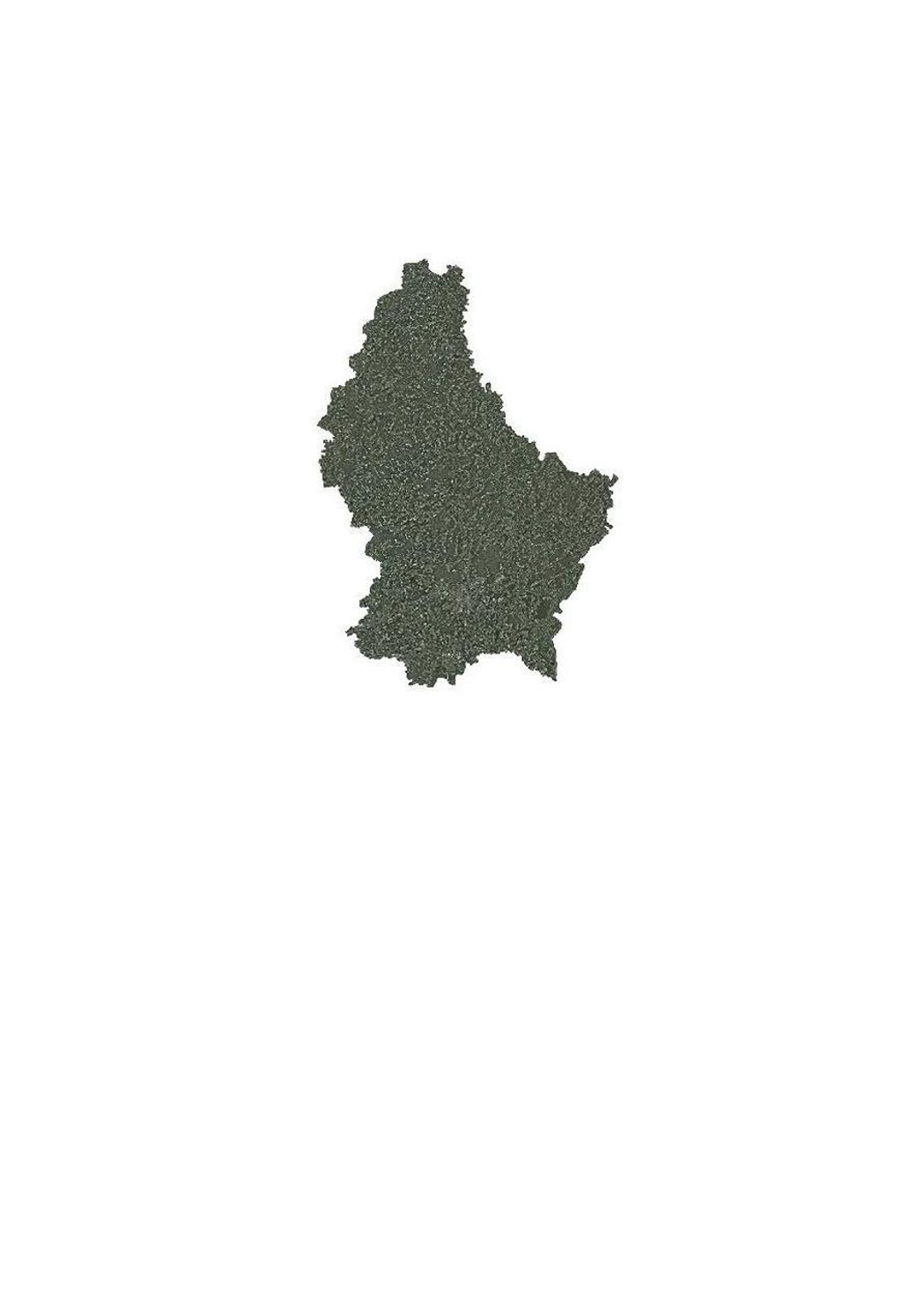
Luft- und Satellitenbilder - Orthophoto 2004
Dieser Layer enthält die Orthophotos von 2004.
Simple
- Identifikator
- / a185f78a-ca9c-43f8-8d06-b1abba8ff056
- Präsentationsform
- Digitale Karte
- Bearbeitungsstatus
- Kontinuierliche Aktualisierung
Ansprechpartner
Administration du Cadastre et de la Topographie
-
Service du géoportail et de l'ILDG (ACT)
1, Rue Charles Darwin
,
Luxembourg
,
L-1433
,
Luxembourg
24754401
Kontakt für die Ressource
No information provided.
Kontakt für die Ressource
No information provided.
Kontakt für die Ressource
No information provided.
Kontakt für die Ressource
No information provided.
Kontakt für die Ressource
No information provided.
Kontakt für die Ressource
No information provided.
Kontakt für die Ressource
No information provided.
Kontakt für die Ressource
No information provided.
Kontakt für die Ressource
No information provided.
Kontakt für die Ressource
No information provided.
- Überarbeitungsintervall
- Bei Bedarf
- Entités au Grand-Duché de Luxembourg
-
- Grand-Duché du Luxembourg
- Keywords
-
- Keywords
-
- Layer
- Orthophoto
- Bild
- Luftbild
- geoportail.lu
- geoportail.lu themes
-
- Allgemein
- Wasser
- geoportail.lu structure
-
- Allgemein>Oberflächendarstellung>Luft und Satellitenbilder
- Wasser>Basisdaten>Luft- und Satellitenbilder
- Nutzungseinschränkungen
- Benutzerdeifinierte Einschränkungen
- Andere Einschränkungen
- Creative Commons 1.0 Universal (CC0 1.0) Public Domain Dedication
- Räumliche Darstellungsart
- Vektor
- Massstabszahl
- 0
- Sprache
- Français
- Sprache
- English
- Sprache
- ltz
- Sprache
- Deutsch
- Zeichensatz
- Utf8
- Thematik
-
- Geowissenschaften
N
S
E
W
))
- Identifikator des Referenzsystems
- EPSG / http://www.opengis.net/def/crs/EPSG/0/2169
- Online
-
224
(
OGC:WMS-1.3.0-http-get-map
)
Orthophoto 2004
- Online
-
ortho_2004
(
OGC:WMS-1.3.0-http-get-map
)
ortho_2004
- Online
-
Orthophoto 2004
ortho_2004
- Metadatensatzidentifikator
- a185f78a-ca9c-43f8-8d06-b1abba8ff056 XML
- Sprache
- Français
- Zeichensatz
- Utf8
- Hierarchieebene
- Datenbestand
- Bezeichnung der Hierarchieebene
- dataset
- Datum
- 2021-02-04T23:51:01
- Bezeichnung des Metadatenstandards
- ISO 19115:2003/19139
- Version des Metadatenstandards
- 1.0
Ansprechpartner
Administration du Cadastre et de la Topographie
-
Service du géoportail et de l'ILDG (ACT)
1, Rue Charles Darwin
,
Luxembourg
,
L-1433
,
Luxembourg
24754401