 geocatalogue.geoportail.lu
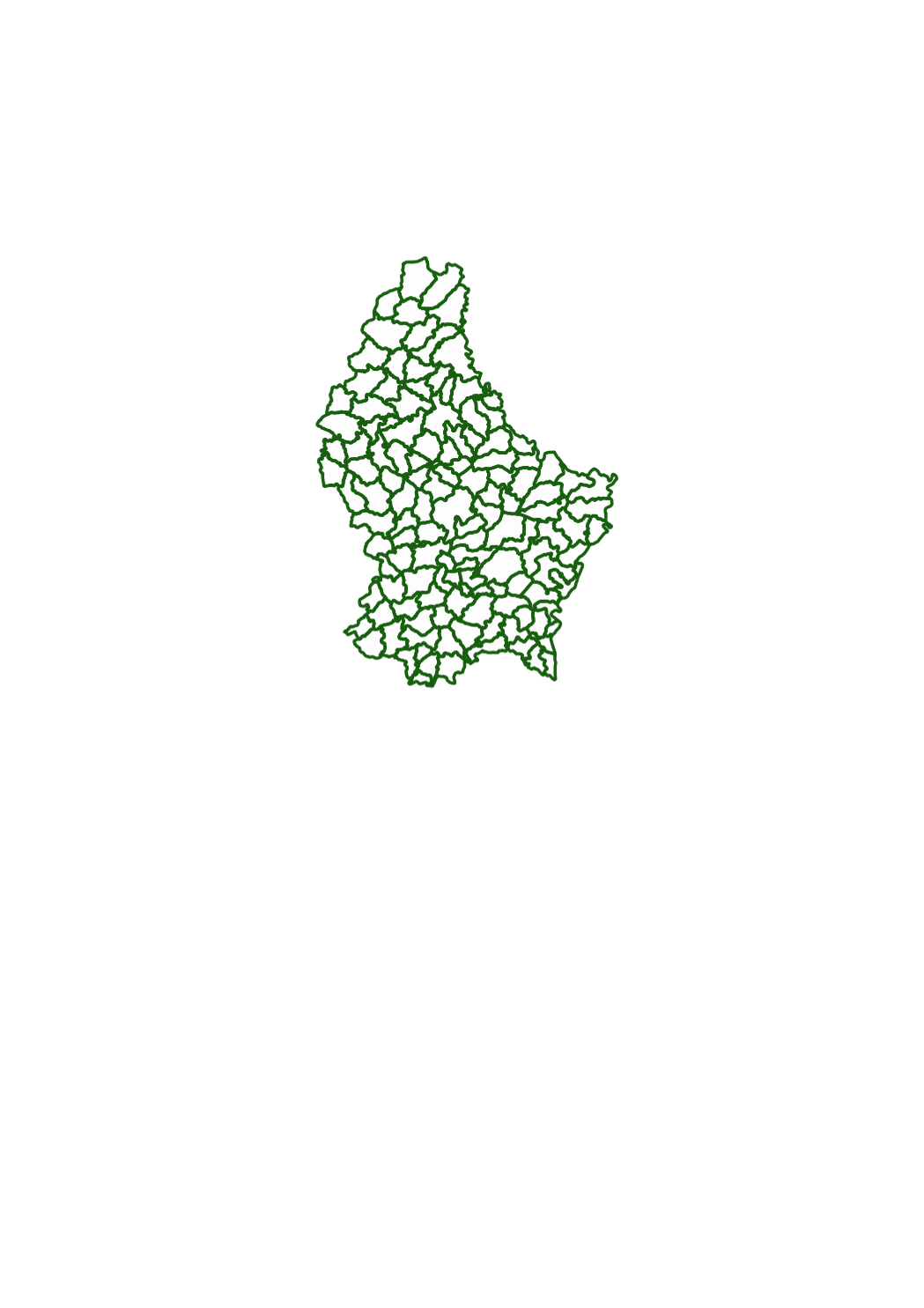
Cadastral municipalities
Simple
- Date (Creation)
- 1829-01-01T00:00:00
- Date (Revision)
- 1829-01-01T00:00:00
- Identifier
- / 8a95f8b2-2cfb-42e7-a51c-02084228b364
- Presentation form
- Digital map
- Status
- On going
- Maintenance and update frequency
- As needed
- Entités au Grand-Duché de Luxembourg
-
- Grand-Duché du Luxembourg
- Keywords
-
- Keywords
-
- administrative boundaries
- boundary
- administration
- subdivision
- territory
- canton
- geoportail.lu
- geoportail.lu themes
-
- Urban Farming
- Main
- geoportail.lu structure
-
- Urban Farming>Cadastral data
- Main>Geographical location>Cadastral data
- Use constraints
- Other restrictions
- Other constraints
- Attribution 4.0 International (CC BY 4.0)
- Spatial representation type
- Vector
- Denominator
- 2500
- Metadata language
- ltz
- Metadata language
- Deutsch
- Metadata language
- Français
- Metadata language
- English
- Character set
- UTF8
- Topic category
-
- Structure
))
- Reference system identifier
- EPSG / http://www.opengis.net/def/crs/EPSG/0/2169
- Distribution format
-
-
DWG
()
-
SHAPE
()
-
DXF
()
-
DWG
()
- OnLine resource
-
153
(
OGC:WMS-1.3.0-http-get-map
)
Communes cadastrales
- OnLine resource
-
communes_cadastrales
(
OGC:WMS-1.3.0-http-get-map
)
communes_cadastrales
- OnLine resource
-
Cadastral municipalities
communes_cadastrales
- Statement
- Data of the original cadastre on paper media, scanned and digitized.
- File identifier
- 8a95f8b2-2cfb-42e7-a51c-02084228b364 XML
- Metadata language
- Français
- Character set
- UTF8
- Hierarchy level
- Dataset
- Hierarchy level name
- dataset
- Date stamp
- 2021-02-04T23:29:21
- Metadata standard name
- ISO 19115:2003/19139
- Metadata standard version
- 1.0
Overviews
Spatial extent
Provided by
