 geocatalogue.geoportail.lu
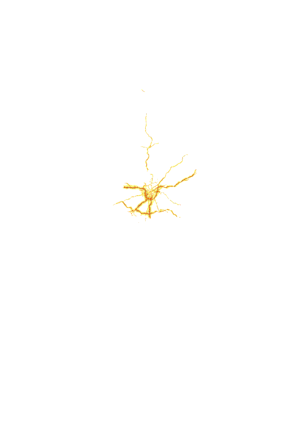
Cartographie du Bruit concernant les routes principales (LNGT)
Noise map of all the major roads of more than 3 million vehicles per year located on the territory of the Grand-duchy of Luxemburg and all roads inside of agglomerations. This map is representative for the year 2011 and is using the noise index LNGT. This noise map has been elaborated in the context of the DIRECTIVE 2002/49/EC OF THE EUROPEAN PARLIAMENT AND OF THE COUNCIL of 25 June 2002 relating to the assessment and management of environmental noise, transposed into national law by the loi du 2 août 2006 modifiant la loi modifiée du 21 juin 1976 relative à la lutte contre le bruit and the règlement grand-ducal du 2 août 2006 portant application de la directive 2002/49/CE relative à l'évaluation et à la gestion du bruit dans l'environnement. Attributes: LNGT = 90 -> LNGT 85 - 90 dB(A) LNGT = 85 -> LNGT 80 - 85 dB(A) LNGT = 80 -> LNGT 75 - 80 dB(A) LNGT = 75 -> LNGT 70 - 75 dB(A) LNGT = 70 -> LNGT 65 - 70 dB(A) LNGT = 65 -> LNGT 60 - 65 dB(A) LNGT = 60 -> LNGT 55 - 60 dB(A) LNGT = 55 -> LNGT 50 - 55 dB(A) LNGT = 50 -> LNGT 45 - 50 dB(A)
Simple
- Date (Creation)
- 2013-04-25T00:00:00
- Date (Revision)
- 2013-04-25T00:00:00
- Citation identifier
- / 5e4f2607-b114-4884-8e48-8e1faa997eb4
- Presentation form
- Digital map
- Status
- On going
- Point of contact
-
Organisation name Individual name Electronic mail address Role Administration de l'Environnement
Glod David
Point of contact
- Maintenance and update frequency
- As needed
-
Entités au Grand-Duché de Luxembourg
-
-
Grand-Duché du Luxembourg
-
- Keywords
-
- Keywords
-
-
Noise
-
geoportail.lu
-
-
geoportail.lu themes
-
-
Lenoz
-
Environment
-
PAG
-
-
geoportail.lu structure
-
-
Lenoz>Environmental Noise>Roads
-
Environment>Environmental Noise>Roads
-
PAG>National planning data>human environment>Roads
-
- Use constraints
- Other restrictions
- Other constraints
-
Creative Commons 1.0 Universal (CC0 1.0) Public Domain Dedication
- Spatial representation type
- Vector
- Denominator
- 0
- Language
- Français
- Character set
- UTF8
- Topic category
-
- Environment
))
- Reference system identifier
- EPSG / http://www.opengis.net/def/crs/EPSG/0/2169
- OnLine resource
-
Protocol Linkage Name OGC:WMS-1.3.0-http-get-map
https://wms.geoportail.lu/public_map_layers/service 255
WWW:LINK-1.0-http--link
https://data.public.lu/fr/datasets/bruit/
- OnLine resource
-
Protocol Linkage Name https://map.geoportail.lu/theme/main?version=3&zoom=8&X=667917&Y=6394482&lang=fr&layers=255&opacities=1 Major Roads 2011 (Lngt)
Metadata
- File identifier
- 5e4f2607-b114-4884-8e48-8e1faa997eb4 XML
- Metadata language
- Français
- Character set
- UTF8
- Hierarchy level
- Dataset
- Hierarchy level name
-
dataset
- Date stamp
- 2021-07-13T14:04:59
- Metadata standard name
-
ISO 19115:2003/19139
- Metadata standard version
-
1.0
- Metadata author
-
Organisation name Individual name Electronic mail address Role Administration de l'Environnement
Glod David
Point of contact Administration de l'Environnement
- Other language
-
Language Character encoding Luxembourgish; Letzeburgesch UTF8 English UTF8 German UTF8 French UTF8
)))