 geocatalogue.geoportail.lu
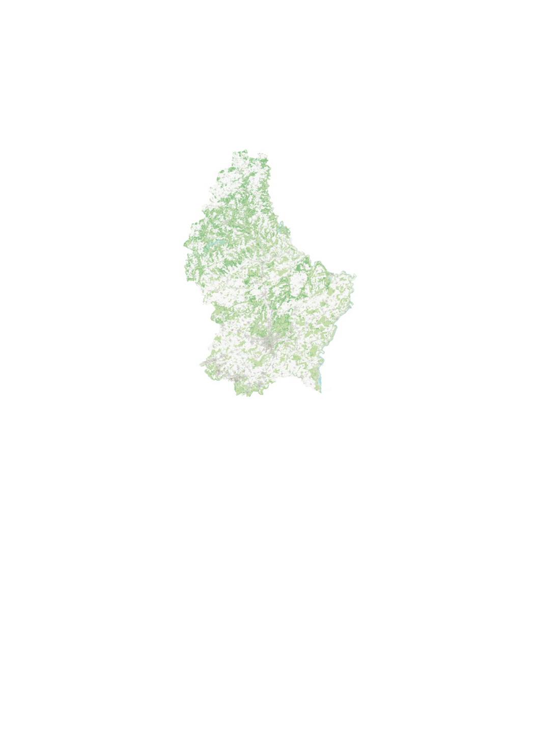
Digital topographic map 1:5000 (BD-L-Scan5)
The digital topographic map 1:5000 is a graphic rendering of the digital topographic database BD-L-TC. The territory is divided in 261 map sheets of 3km x 4km.
Simple
- Date (Creation)
- 2008-01-01T00:00:00
- Identifier
- / 270_2012
- Presentation form
- Digital map
- Status
- On going
Point of contact
Administration du Cadastre et de la Topographie
-
Administration du Cadastre et de la Topographie
1, Rue Charles Darwin
,
Luxembourg
,
L-1433
,
Luxembourg
247-54400
Point of contact
No information provided.
Point of contact
No information provided.
Point of contact
No information provided.
Point of contact
No information provided.
- Maintenance and update frequency
- As needed
- Entités au Grand-Duché de Luxembourg
-
- Grand-Duché du Luxembourg
- Keywords
-
- Keywords
-
- Topographic plan
- 1/5000
- geoportail.lu
- geoportail.lu themes
-
- Tourism
- Main
- geoportail.lu structure
-
- Tourism>Topographical maps
- Main>Geographical location>Topographical maps
- Use constraints
- Other restrictions
- Other constraints
- Creative Commons 1.0 Universal (CC0 1.0) Public Domain Dedication
- Spatial representation type
- Vector
- Denominator
- 0
- Metadata language
- Français
- Character set
- UTF8
- Topic category
-
- Geoscientific information
- Planning cadastre
N
S
E
W
))
- Reference system identifier
- EPSG / http://www.opengis.net/def/crs/EPSG/0/2169
- Distribution format
-
-
TIFF
()
-
TIFF
()
- OnLine resource
-
195
(
OGC:WMS-1.3.0-http-get-map
)
Carte topographique 1:5000
- OnLine resource
-
topo_5k
(
OGC:WMS-1.3.0-http-get-map
)
topo_5k
- OnLine resource
-
Topographical Map 1:5000
topo_5k
- File identifier
- 270_2012 XML
- Metadata language
- Français
- Character set
- UTF8
- Hierarchy level
- Dataset
- Hierarchy level name
- dataset
- Date stamp
- 2021-02-04T22:49:51
- Metadata standard name
- ISO 19115:2003/19139
- Metadata standard version
- 1.0
Point of contact
Administration du Cadastre et de la Topographie
-
Administration du Cadastre et de la Topographie
1, Rue Charles Darwin
,
Luxembourg
,
L-1433
,
Luxembourg
247-54400
Overviews
Spatial extent
N
S
E
W
Provided by

Associated resources
Not available