 geocatalogue.geoportail.lu
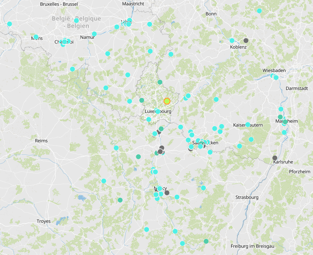
European air quality index (measurements over the last 100 days)
- European air quality index (based on pollutant concentrations in µg/m3): measurements over the last 100 days for each station
- The sub-indices O3, PM10, PM2.5, NO2, and SO2 are available according to the type of station (industrial, background or traffic) in accordance with the methodology for calculating the European air quality index for the measuring stations throughout the Greater Region.
- Data sources: ATMO Grand Est; Agence Wallonne de l'Air et du Climat - AWAC; Landesamt für Umwelt- und Arbeitsschutz Saarland - IMMESA; Landesamt für Umwelt Rheinland-Pfalz - ZIMEN; Administration de l'environnement Luxembourg. Harmonization: ATMO Grand Est and GIS-GR 2020
Simple
- Date (Creation)
- 2020-06-24T00:00:00
- Identifier
- / 4dc3a3b1-1c66-40ae-b0cc-2627aa3a6bcb
- Presentation form
- Digital map
- Status
- On going
- Maintenance and update frequency
- Continual
- Keywords
-
- air, quality, index
- Entités dans la Grande Région
-
- Greater Region
- gis-gr.eu themes
-
- Environment
- Air quality
- gis-gr.eu structure
-
- Environment>Air quality
- Keywords
-
- gis-gr.eu
- Access constraints
- Other restrictions
- Spatial representation type
- Vector
- Denominator
- 250000
- Metadata language
- Français
- Metadata language
- English
- Metadata language
- Deutsch
- Character set
- UTF8
- Topic category
-
- Environment
- Climatology, meteorology, atmosphere
))
- Reference system identifier
- EPSG / http://www.opengis.net/def/crs/EPSG/0/2169
- Distribution format
-
-
SHAPE
()
-
()
-
()
-
SHAPE
()
- OnLine resource
- https://www.eea.europa.eu/themes/air/air-quality-index/index ( WWW:LINK-1.0-http--link )
- OnLine resource
-
Flux_Grande_Region_mesure_horaire_grande_region_historique_100j:banq.mesure.mesure_horaire_grande_region_historique_100j
(
OGC:WFS
)
banq.mesure.mesure_horaire_grande_region_historique_100j
- File identifier
- bc76b4f7-d2f1-4d15-92d7-e710b8b41bda XML
- Metadata language
- Français
- Character set
- UTF8
- Hierarchy level
- Dataset
- Hierarchy level name
- dataset
- Date stamp
- 2021-01-20T10:04:45
- Metadata standard name
- ISO 19115:2003/19139
- Metadata standard version
- 1.0
Overviews
Spatial extent
Provided by
