 geocatalogue.geoportail.lu
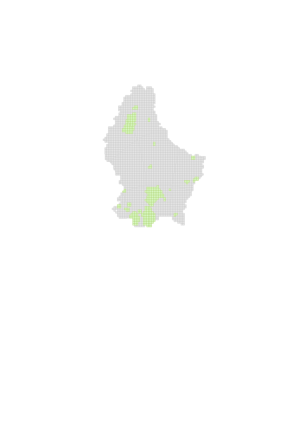
Available Data
This map with a resolution of 1 x 1 km gives information about the availability of data. For the areas colored in green, a weighting of the different layers has already been calculated for different Urban Farming typologies.
Simple
- Identifier
- / aaa7619b-8b65-4283-829d-f990c62e7f4c
- Presentation form
- Digital map
- Status
- On going
- Maintenance and update frequency
- As needed
- Entités au Grand-Duché de Luxembourg
-
- Grand-Duché du Luxembourg
- Keywords
-
- urban farming
- Keywords
-
- geoportail.lu
- geoportail.lu themes
-
- Urban Farming
- geoportail.lu structure
-
- Urban Farming>Available Data
- Access constraints
- Other restrictions
- Spatial representation type
- Vector
- Denominator
- 0
- Character set
- UTF8
N
S
E
W
))
- Reference system identifier
- EPSG / http://www.opengis.net/def/crs/EPSG/0/2169
- OnLine resource
-
1679
(
OGC:WMS-1.3.0-http-get-map
)
Données disponibles
- OnLine resource
-
Available Data
Données disponibles
- File identifier
- aaa7619b-8b65-4283-829d-f990c62e7f4c XML
- Metadata language
- Français
- Character set
- UTF8
- Hierarchy level
- Dataset
- Hierarchy level name
- dataset
- Date stamp
- 2021-02-04T23:51:49
- Metadata standard name
- ISO 19115:2003/19139
- Metadata standard version
- 1.0
Overviews
Spatial extent
N
S
E
W
Provided by

Associated resources
Not available