 geocatalogue.geoportail.lu
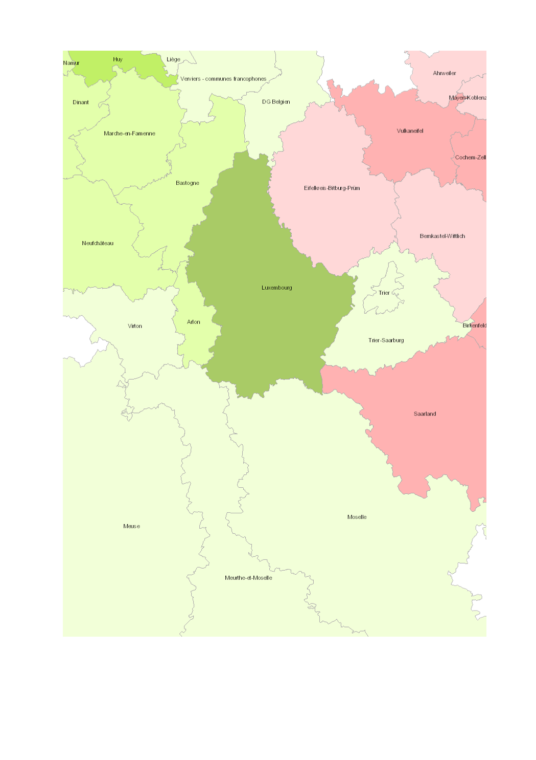
Projection of total population 2013-2040
Projection of total population 2013-2040
- Territorial units: arrondissements (Wallonie), départements (Lorraine), Grand-Duché (Luxembourg), Kreise (Saarland, Rheinland-Pfalz)
- Statistical data sources: Eurostat; INSEE Grand Est; Statec; SPF Economie; BFP-DGSIE; Statistisches Landesamt Rheinland-Pfalz; Statistisches Amt Saarland. Calculs: OIE/IBA 2016
- Geodata sources: EuroGeographics EuroRegionalMap v9.1 - 2016. Harmonization: SIG-GR / GIS-GR 2016
Simple
- Date (Creation)
- 2018-11-20T00:00:00
- Identifier
- / 68a4e5da-a309-42d8-a4ff-583612ecad91
- Presentation form
- Digital map
- Status
- Completed
- Maintenance and update frequency
- As needed
- Keywords
-
- Population, projection
- Entités dans la Grande Région
-
- Greater Region
- gis-gr.eu themes
-
- Demography
- gis-gr.eu structure
-
- Demography>Population projection
- Keywords
-
- gis-gr.eu
- Access constraints
- Other restrictions
- Spatial representation type
- Vector
- Denominator
- 250000
- Metadata language
- Deutsch
- Metadata language
- Français
- Metadata language
- English
- Character set
- UTF8
- Topic category
-
- Society
))
- Reference system identifier
- EPSG / http://www.opengis.net/def/crs/EPSG/0/3857
- Distribution format
-
-
SHAPE
()
-
PDF
()
-
JPEG
()
-
SHAPE
()
- OnLine resource
- Interactive map ( WWW:LINK-1.0-http--samples )
- OnLine resource
-
Projection_total_pop_2013_2040
(
OGC:WMS-1.3.0-http-get-map
)
Projection_total_pop_2013_2040
- OnLine resource
-
Population_projection:Projection_total_pop_2013_2040
(
OGC:WFS
)
Projection_total_pop_2013_2040
- OnLine resource
- Open data ( WWW:LINK-1.0-http--link )
- File identifier
- 68a4e5da-a309-42d8-a4ff-583612ecad91 XML
- Metadata language
- Français
- Character set
- UTF8
- Hierarchy level
- Dataset
- Hierarchy level name
- dataset
- Date stamp
- 2025-01-17T08:17:00
- Metadata standard name
- ISO 19115:2003/19139
- Metadata standard version
- 1.0
Overviews
Spatial extent
Provided by
