 geocatalogue.geoportail.lu
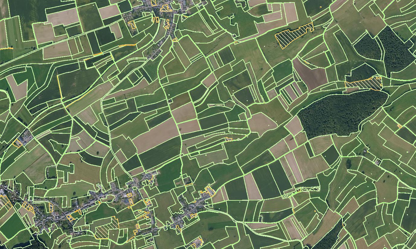
Temporary FLIK parcels (for the year 2026)
Current status of FLIK parcels after the annual update of the agricultural parcel reference system. The update was performed from the beginning of May to the end of July based on the latest national aerial photos (orthophotos) from 2025. This layer is provisionally and the geometry changes are being validated by the concerned farmers in the course of the participation process (border adjustments, merge and division of parcels with new FLIK numbers, size changes, etc.).
Simple
- Date (Revision)
- 2024-08-05T00:00:00
- Citation identifier
- / 5817c77d-c1cf-4f25-a889-6eb81cff49cd
- Presentation form
- Digital map
- Status
- On going
- Maintenance and update frequency
- As needed
-
Entités au Grand-Duché de Luxembourg
-
-
Grand-Duché du Luxembourg
-
- Keywords
-
- Keywords
-
-
Agriculture
-
ASTA
-
FLIK
-
update
-
geoportail.lu
-
-
geoportail.lu themes
-
-
Agriculture
-
-
geoportail.lu structure
-
-
Agriculture>Agricultural data>Update FLIK parcels
-
- Spatial representation type
- Vector
- Denominator
- 2500
- Language
- Lëtzebuergesch
- Character set
- UTF8
- Topic category
-
- Farming
))
- Reference system identifier
- EPSG / http://www.opengis.net/def/crs/EPSG/0/2169
- Distribution format
-
Name Version SHAPE
- OnLine resource
-
Protocol Linkage Name OGC API-Features
https://features.geoportail.lu/collections/2399 OGC API - Features
- OnLine resource
-
Protocol Linkage Name UKST
https://map.geoportail.lu/theme/main?version=3&zoom=10&X=686913&Y=6402814&lang=en&layers=2399&opacities=1&rotation=0&bgLayer=basemap_2015_global Temporary FLIK parcels 2025
OGC:WMS-1.3.0-http-get-map
https://wms.geoportail.lu/public_map_layers/service 2399
Metadata
- File identifier
- 5817c77d-c1cf-4f25-a889-6eb81cff49cd XML
- Metadata language
- Français
- Character set
- UTF8
- Hierarchy level
- Dataset
- Hierarchy level name
-
dataset
- Date stamp
- 2025-08-11T08:03:31Z
- Metadata standard name
-
ISO 19115:2003/19139
- Metadata standard version
-
1.0
- Metadata author
-
Organisation name Individual name Electronic mail address Role Administration des Services Techniques de l'Agriculture (ASTA)
Service SIG
- Other language
-
Language Character encoding Luxembourgish; Letzeburgesch UTF8 English UTF8 German UTF8 French UTF8

)))