 geocatalogue.geoportail.lu
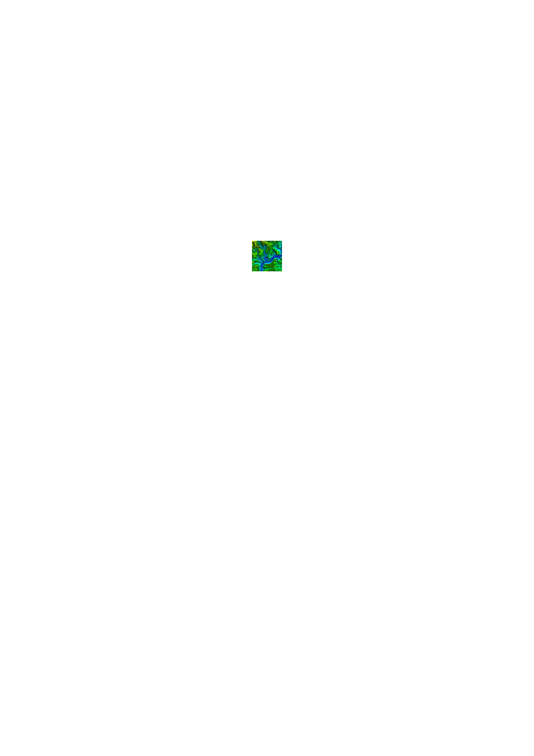
Digital Surface Model of the Nordstad region (2017)
In 2017, the ACT has executed a prototype project of a LIDAR flight in preparation of a country wide flight in 2018/2019. One of the results of this prototype is a high resolution digital surface model. Date of the overflight: 9 april 2017
Simple
- Date (Creation)
- 2017-04-04T00:00:00
- Citation identifier
- / e7184a37-7a6a-4e07-ae8d-ff06d9969da0
- Presentation form
- Digital map
- Status
- On going
- Point of contact
-
Organisation name Individual name Electronic mail address Role Administration du Cadastre et de la Topographie
Administration du Cadastre et de la Topographie
Point of contact
- Maintenance and update frequency
- As needed
-
Entités au Grand-Duché de Luxembourg
-
-
Grand-Duché du Luxembourg
-
- Keywords
-
- Keywords
-
-
DSM
-
Digital Surface Model
-
Height
-
LiDAR
-
geoportail.lu
-
-
geoportail.lu themes
-
-
Main
-
-
geoportail.lu structure
-
-
Main>Digital elevation model (BD-L-LiDAR)>LiDAR Prototype 2017 (Nordstad region)
-
Main>Land surface>Digital elevation model (BD-L-LiDAR)>LiDAR Prototype 2017 (Nordstad region)
-
- Use constraints
- Other restrictions
- Other constraints
-
Creative Commons 1.0 Universal (CC0 1.0) Public Domain Dedication
- Spatial representation type
- Vector
- Denominator
- 0
- Character set
- UTF8
- Topic category
-
- Elevation
))
- Reference system identifier
- EPSG / http://www.opengis.net/def/crs/EPSG/0/2169
- OnLine resource
-
Protocol Linkage Name OGC:WMS-1.3.0-http-get-map
https://wms.geoportail.lu/public_map_layers/service 1377
WWW:LINK-1.0-http--link
https://data.public.lu/fr/datasets/lidar-projet-pilote-dun-releve-3d-du-territoire-luxembourgeois/
- OnLine resource
-
Protocol Linkage Name https://map.geoportail.lu/theme/main?version=3&zoom=8&X=667917&Y=6394482&lang=fr&layers=1377&opacities=1 Digital Surface Model of the Nordstad region
Metadata
- File identifier
- e7184a37-7a6a-4e07-ae8d-ff06d9969da0 XML
- Metadata language
- Français
- Character set
- UTF8
- Hierarchy level
- Dataset
- Hierarchy level name
-
dataset
- Date stamp
- 2021-02-04T23:39:20
- Metadata standard name
-
ISO 19115:2003/19139
- Metadata standard version
-
1.0
- Metadata author
-
Organisation name Individual name Electronic mail address Role Administration du Cadastre et de la Topographie
Administration du Cadastre et de la Topographie
Point of contact
- Other language
-
Language Character encoding Luxembourgish; Letzeburgesch UTF8 English UTF8 German UTF8 French UTF8
)))