 geocatalogue.geoportail.lu
Luft- und Satellitenbilder - Orthophoto 2001
Dieser Layer enthält die Orthophotos von 2001.
Simple
- Identifikator
- / e6ff269c-1c7c-401f-a90b-b805e80a046e
- Präsentationsform
- Digitale Karte
- Bearbeitungsstatus
- Kontinuierliche Aktualisierung
- Kontakt für die Ressource
-
Organisation Person E-Mail Funktion Administration du Cadastre et de la Topographie
Service du géoportail et de l'ILDG (ACT)
Ansprechpartner
Kontakt für die Ressource
No information provided.
Kontakt für die Ressource
No information provided.
Kontakt für die Ressource
No information provided.
Kontakt für die Ressource
No information provided.
Kontakt für die Ressource
No information provided.
Kontakt für die Ressource
No information provided.
Kontakt für die Ressource
No information provided.
Kontakt für die Ressource
No information provided.
Kontakt für die Ressource
No information provided.
Kontakt für die Ressource
No information provided.
- Überarbeitungsintervall
- Bei Bedarf
-
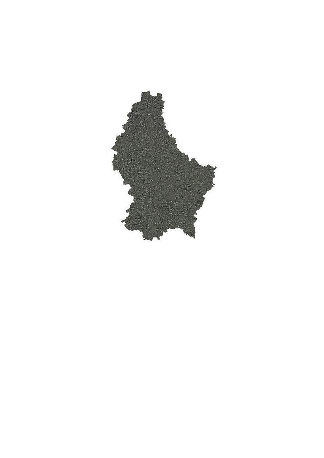
Entités au Grand-Duché de Luxembourg
-
-
Grand-Duché du Luxembourg
-
- Keywords
-
- Keywords
-
-
Layer
-
Orthophoto
-
Bild
-
Luftbild
-
geoportail.lu
-
-
geoportail.lu themes
-
-
Allgemein
-
Wasser
-
-
geoportail.lu structure
-
-
Allgemein>Oberflächendarstellung>Luft und Satellitenbilder
-
Wasser>Basisdaten>Luft- und Satellitenbilder
-
- Nutzungseinschränkungen
- Benutzerdefinierte Einschränkungen
- Andere Einschränkungen
-
Creative Commons 1.0 Universal (CC0 1.0) Public Domain Dedication
- Räumliche Darstellungsart
- Vektor
- Maßstabszahl
- 0
- Sprache
- Français
- Sprache
- English
- Sprache
- Lëtzebuergesch
- Sprache
- Deutsch
- Zeichensatz
- Utf8
- ISO-Thematik
-
- Geowissenschaften
N
S
E
W
))
- Identifikator des Referenzsystems
- EPSG / http://www.opengis.net/def/crs/EPSG/0/2169
- Online
-
Protokoll URL Bezeichnung OGC:WMS-1.3.0-http-get-map
https://wms.geoportail.lu/public_map_layers/service 225
OGC:WMS-1.3.0-http-get-map
http://wmts1.geoportail.lu/opendata/service?request=getCapabilities&service=WMS&version=1.3.0 ortho_2001
WWW:LINK-1.0-http--link
https://data.public.lu/fr/datasets/orthophoto-officielle-du-grand-duche-de-luxembourg-edition-2001/
- Online
-
Protokoll URL Bezeichnung https://map.geoportail.lu/theme/main?version=3&zoom=8&X=667917&Y=6394482&lang=fr&layers=225&opacities=1 Orthophoto 2001
Metadaten
- Metadatensatzidentifikator
- e6ff269c-1c7c-401f-a90b-b805e80a046e XML
- Sprache
- Français
- Zeichensatz
- Utf8
- Hierarchieebene
- Datenbestand
- Bezeichnung der Hierarchieebene
-
dataset
- Datum
- 2021-02-04T22:16:46
- Bezeichnung des Metadatenstandards
-
ISO 19115:2003/19139
- Version des Metadatenstandards
-
1.0
- Metadatenkontakt
-
Organisation Person E-Mail Funktion Administration du Cadastre et de la Topographie
Service du géoportail et de l'ILDG (ACT)
Ansprechpartner
- Sprachraum
-
Sprache Zeichensatz Französisch Utf8 Luxemburgisch Utf8 Englisch Utf8 Deutsch Utf8
)))