 geocatalogue.geoportail.lu
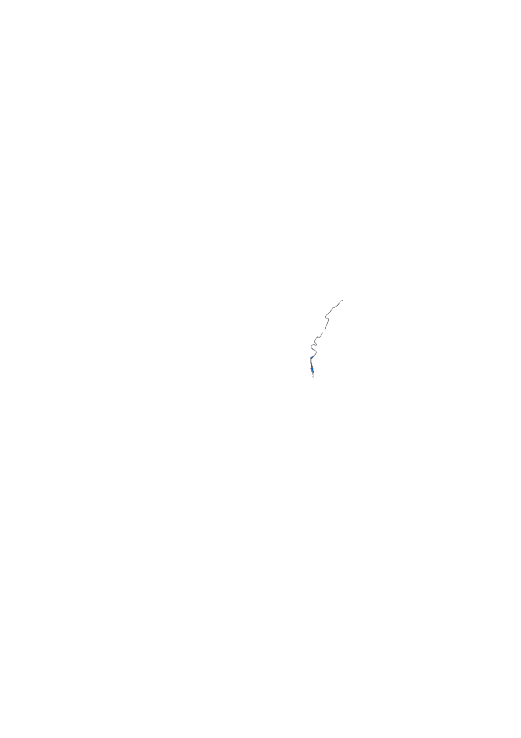
Zone inondable crue 1983- Moselle
Iwwerschwemmungsgebitt 1983 - Musel
Floodplain 1983 Mosel
Überschwemmungsgebiet 1983 - Mosel
Couche reprenant les zones inondables de la crue de la Moselle survenue en 1983 (données basées sur des relevés de terrain)
Couche dei d'Iwwerschwemmungsgebitt vun dem Héichwaasser vun 1983 op der Musel weist (Donnéen baséieren op Terrainsrelevéen)
Layer showing the floodplain of the Mosel river during the 1983 flood event (Data based on field surveys)
Ebene zeigt das Überschwemmungsgebiet der Mosel beim 1983ger Hochwasser (Daten stammen von Feldbegehungen)
Simple
-
Date (Création)Date (Creation)Datumsangaben (Erstellung)Date (Création)
- 1983-04-01T00:00:00
-
IdentificateurCitation identifierIdentifikatorIdentificateur
- / e6896207-c0f9-417e-9661-119128628e8e
-
Forme de la présentationPresentation formPräsentationsformForme de la présentation
-
Carte numériqueDigital mapDigitale KarteCarte numérique
-
EtatStatusBearbeitungsstatusEtat
-
FinaliséCompletedAbgeschlossenFinalisé
- Point of contact
-
Organisation name Individual name Electronic mail address Role Administration de la gestion de l'eau
Division de l'hydrologie
Point de contactPoint of contactAnsprechpartnerPoint de contact
-
Fréquence de mise à jourMaintenance and update frequencyÜberarbeitungsintervallFréquence de mise à jour
-
Lorsque nécessaireAs neededBei BedarfLorsque nécessaire
-
Entités au Grand-Duché de Luxembourg
-
-
Grand-Duché du Luxembourg
Grand-Duché du Luxembourg
Grand-Duché du Luxembourg
Grand-Duché du Luxembourg
-
- Keywords
-
- Keywords
-
-
zone inondable
Iwwerschwemmungsgebitt
floodplain
Überschwemmungsgebiet
-
historique
Héichwaasser
Mosel
Mosel
-
1983
1983
1983
1983
-
Moselle
Musel
flood
Hochwasser
-
inondation
-
geoportail.lu
geoportail.lu
geoportail.lu
geoportail.lu
-
-
geoportail.lu themes
-
-
Eau
Wasser
Water
Wasser
-
Lenoz
Lenoz
Lenoz
Lenoz
-
Grand Public
Allgemeng
Main
Allgemein
-
-
geoportail.lu structure
-
-
Eau>Directive inondation [DI]>Crues historiques
Eau>Directive inondation [DI]>Crues historiques>Historech Iwwerschwemmungsgebidder
Water>Floods directive [FD]>Historic floodplains
Wasser>Hochwasserrisikomanagement-Richtlinie [HWRM-RL]>Historische Überschwemmungsgebiete
-
Lenoz>Directive inondation [DI]>Crues historiques
Lenoz>Directive inondation [DI]>Crues historiques>Historech Iwwerschwemmungsgebidder
Lenoz>Floods directive [FD]>Historic floodplains
Lenoz>Hochwasserrisikomanagement-Richtlinie [HWRM-RL]>Historische Überschwemmungsgebiete
-
Grand Public>Environnement, biologie et géologie>Directive inondation [DI]>Crues historiques
Grand Public>Environnement, biologie et géologie>Directive inondation [DI]>Crues historiques>Historech Iwwerschwemmungsgebidder
Main>Environment, Biology and Geology>Floods directive [FD]>Historic floodplains
Allgemein>Umwelt, Biologie und Geologie>Hochwasserrisikomanagement-Richtlinie [HWRM-RL]>Historische Überschwemmungsgebiete
-
-
Contraintes d'utilisationUse constraintsNutzungseinschränkungenContraintes d'utilisation
-
Autres restrictionsOther restrictionsBenutzerdefinierte EinschränkungenAutres restrictions
-
Autres contraintes
-
Creative Commons 1.0 Universal (CC0 1.0) Public Domain Dedication
-
Type de représentation spatialeSpatial representation typeRäumliche DarstellungsartType de représentation spatiale
-
VecteurVectorVektorVecteur
-
Dénominateur de l'échelleDenominatorMaßstabszahlDénominateur de l'échelle
- 0
-
Langue de la ressourceLanguageSpracheLangue de la ressource
- Français
-
Encodage des caractèresCharacter setZeichensatzEncodage des caractères
-
Utf8UTF8Utf8Utf8
-
Catégorie ISOTopic categoryISO-ThematikCatégorie ISO
-
-
Sciences de la terre, géosciencesGeoscientific informationGeowissenschaftenSciences de la terre, géosciences
-
EnvironnementEnvironmentUmweltEnvironnement
-
Eaux intérieures, HydrographieInland watersBinnengewässerEaux intérieures, Hydrographie
-
))
-
Nom du système de référenceReference system identifierIdentifikator des ReferenzsystemsNom du système de référence
-
EPSG
/
http://www.opengis.net/def/crs/EPSG/0/2169
- Distribution format
-
Name Version TIFF
SHAPE
DXF
PDF
- OnLine resource
-
Protocol Linkage Name OGC:WMS-1.3.0-http-get-map
https://wms.geoportail.lu/public_map_layers/service 637
637
637
637
WWW:LINK-1.0-http--link
https://data.public.lu/fr/datasets/floodplain-1983-mosel/ OGC API-Features
https://features.geoportail.lu/collections/637 OGC API - Features
- OnLine resource
-
Protocol Linkage Name https://map.geoportail.lu/theme/main?version=3&zoom=8&X=667917&Y=6394482&lang=fr&layers=637&opacities=1 Z.i. crue 1983 - Moselle
ISG 1983 - Musel
Floodplain 1983 - Mosel
UESG 1983 - Mosel
Metadata
-
Identifiant de la ficheFile identifierMetadatensatzidentifikatorIdentifiant de la fiche
- e6896207-c0f9-417e-9661-119128628e8e XML
-
LangueMetadata languageSpracheLangue
- Français
-
Jeu de caractèresCharacter setZeichensatzJeu de caractères
-
Utf8UTF8Utf8Utf8
-
Type de ressourceHierarchy levelHierarchieebeneType de ressource
-
Jeu de donnéesDatasetDatenbestandJeu de données
- Hierarchy level name
-
dataset
-
Date des métadonnéesDate stampDatumDate des métadonnées
- 2025-12-03T11:26:45.850198Z
- Metadata standard name
-
ISO 19115:2003/19139
- Metadata standard version
-
1.0
- Metadata author
-
Organisation name Individual name Electronic mail address Role Administration de la gestion de l'eau
Division de l'hydrologie
Point de contactPoint of contactAnsprechpartnerPoint de contact
- Other language
-
Language Character encoding LëtzebuergeschLuxembourgish; LetzeburgeschLuxemburgischLuxembourgeoisUtf8UTF8Utf8Utf8EngleschEnglishEnglischAnglaisUtf8UTF8Utf8Utf8DäitschGermanDeutschAllemandUtf8UTF8Utf8Utf8FranséischFrenchFranzösischFrançaisUtf8UTF8Utf8Utf8
)))