 geocatalogue.geoportail.lu
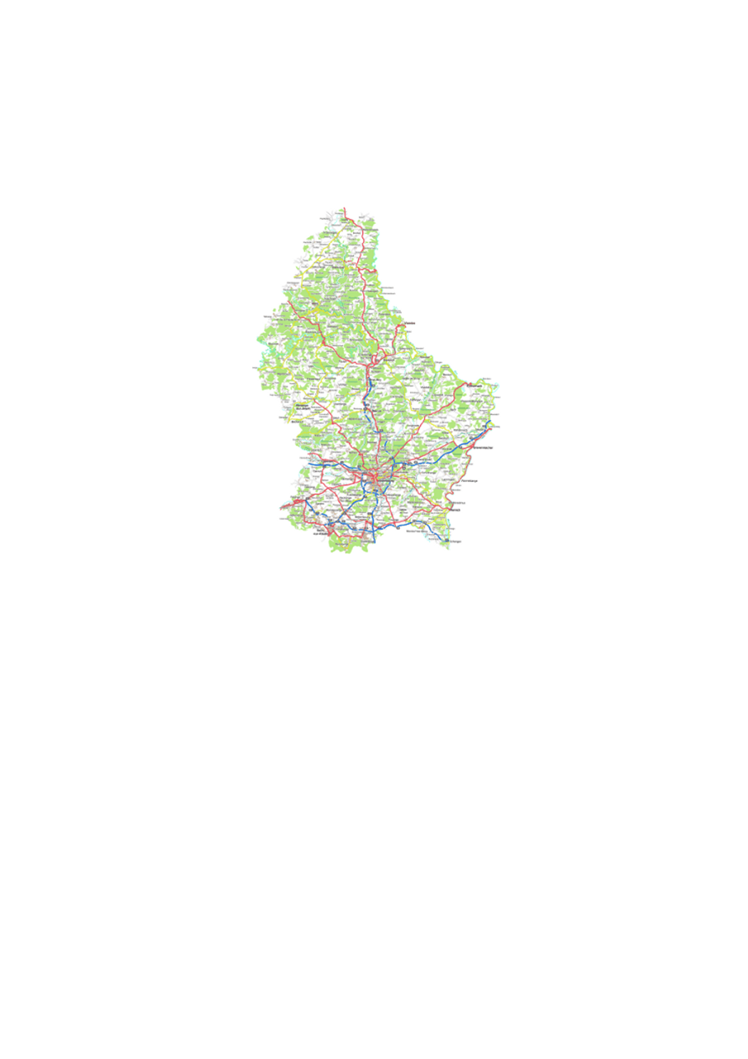
Digital topographic map 1:250000
Digital topographic map.
Simple
- Citation identifier
- / e1f601a5-ed8f-4043-8719-0cad50cbb483
- Presentation form
- Digital map
- Status
- On going
- Point of contact
-
Organisation name Individual name Electronic mail address Role Administration du Cadastre et de la Topographie
Administration du Cadastre et de la Topographie
Point of contact
Point of contact
No information provided.
Point of contact
No information provided.
Point of contact
No information provided.
Point of contact
No information provided.
- Maintenance and update frequency
- As needed
-
Entités au Grand-Duché de Luxembourg
-
-
Grand-Duché du Luxembourg
-
- Keywords
-
- Keywords
-
-
topographic map
-
geoportail.lu
-
-
geoportail.lu themes
-
-
Tourism
-
Main
-
-
geoportail.lu structure
-
-
Tourism>Topographical maps
-
Main>Geographical location>Topographical maps
-
- Use constraints
- Other restrictions
- Other constraints
-
Creative Commons 1.0 Universal (CC0 1.0) Public Domain Dedication
- Spatial representation type
- Vector
- Denominator
- 0
- Language
- English
- Language
- Deutsch
- Language
- Français
- Character set
- UTF8
- Topic category
-
- Geoscientific information
N
S
E
W
))
- Reference system identifier
- EPSG / http://www.opengis.net/def/crs/EPSG/0/2169
- Distribution format
-
Name Version PNG
OTHER
TIFF
JPEG
- OnLine resource
-
Protocol Linkage Name OGC:WMS-1.3.0-http-get-map
https://wms.geoportail.lu/public_map_layers/service 223
OGC:WMS-1.3.0-http-get-map
http://wmts1.geoportail.lu/opendata/service?request=getCapabilities&service=WMS&version=1.3.0 topo_250k
WWW:LINK-1.0-http--link
https://data.public.lu/fr/datasets/carte-topographique-1-250000/
- OnLine resource
-
Protocol Linkage Name https://map.geoportail.lu/theme/main?version=3&zoom=8&X=667917&Y=6394482&lang=fr&layers=223&opacities=1 Topographical Map 1:250000
Metadata
- File identifier
- e1f601a5-ed8f-4043-8719-0cad50cbb483 XML
- Metadata language
- Français
- Character set
- UTF8
- Hierarchy level
- Dataset
- Hierarchy level name
-
dataset
- Date stamp
- 2021-02-04T22:56:09
- Metadata standard name
-
ISO 19115:2003/19139
- Metadata standard version
-
1.0
- Metadata author
-
Organisation name Individual name Electronic mail address Role Administration du Cadastre et de la Topographie
Administration du Cadastre et de la Topographie
Point of contact
- Other language
-
Language Character encoding French UTF8 Luxembourgish; Letzeburgesch UTF8 English UTF8 German UTF8
)))