 geocatalogue.geoportail.lu
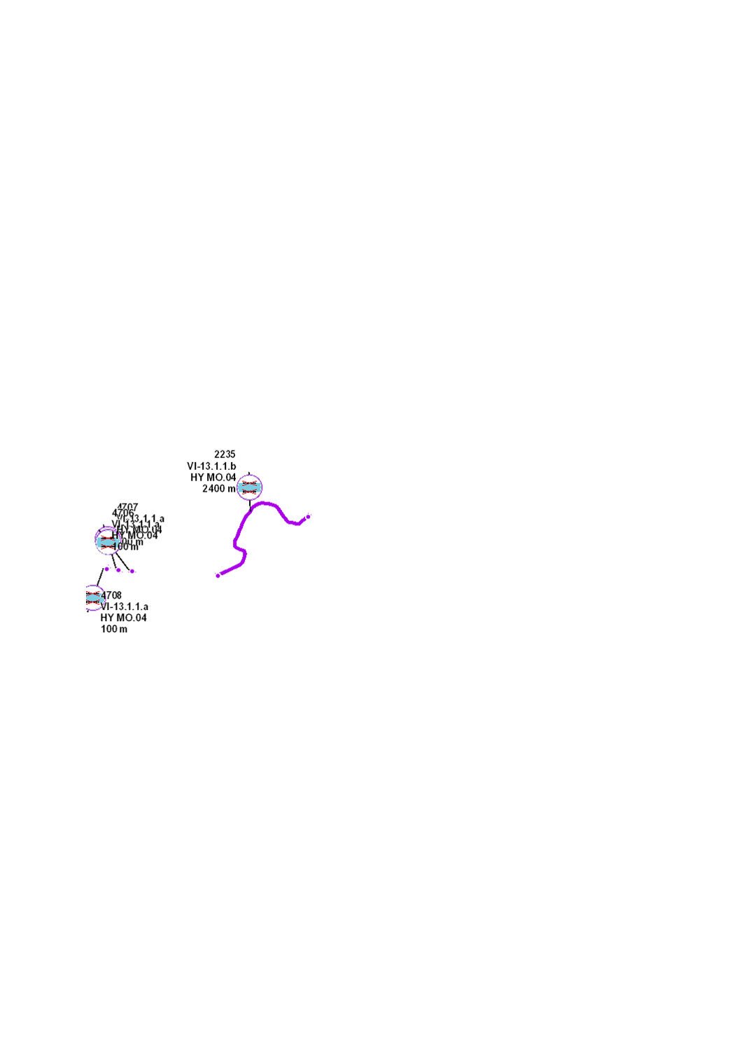
Enlèvement / Transformation de stabilisations des berges et endiguements
Ewechhuelen oder Verännerung vum Uferverbau
Removal / replacement of riverbank stabilizations
Entfernen / Umgestalten von Uferverbau
Revalorisation des berges du cours d’eau par suppression définitive des techniques lourdes de stabilisation de berges ou par remplacement de celles-ci par des techniques de génie végétal, dans le but de restituer des berges naturelles avec des structures variées et une végétation typique au site et d’ainsi créer des microhabitats pour la faune et la flore aquatique.
Hierstellen vun naturnoen Ufer mat villfältegen Strukturen an standuertgerechter Vegetatioun, duerch Ewechhuelen vu massivem Uferverbau resp. duerch d’Asetzen vu méi naturno ingenieurbiologesch Techniken. Hierstellen vun Uferhabitater fir aquatesch an terrestresch Organismen.
Riverbanks improvement by permanent removal of heavy stabilization techniques or by their replacement with plant engineering solutions, in order to recreate near-natural riverbanks with typical vegetation and diversified structures, thus creating microhabitats for aquatic flora and fauna.
Herstellen naturnaher Ufer mit vielfältigen Strukturen und standorttypischer Vegetation, durch ersatzloses Entfernen von massivem Uferverbau bzw. durch Ersetzen mit ingenieurbiologischen Bauweisen. Ausbildung von Uferhabitaten für aquatische und terrestrische Organismen.
Simple
-
IdentificateurCitation identifierIdentifikatorIdentificateur
- / bec0ccbc-09b5-4351-8b72-f0e458fc7d19
-
Forme de la présentationPresentation formPräsentationsformForme de la présentation
-
Carte numériqueDigital mapDigitale KarteCarte numérique
-
EtatStatusBearbeitungsstatusEtat
-
FinaliséCompletedAbgeschlossenFinalisé
- Point of contact
-
Organisation name Individual name Electronic mail address Role Administration de la gestion de l'eau
Division de l'hydrologie
GestionnaireCustodianVerwalterGestionnaire
-
Entités au Grand-Duché de Luxembourg
-
-
Grand-Duché du Luxembourg
Grand-Duché du Luxembourg
Grand-Duché du Luxembourg
Grand-Duché du Luxembourg
-
- Keywords
-
-
Directive-cadre sur l'eau, DCE, mesures hydromorphologiques, Plan de gestion, Programme de mesure 2021, HY MO, morphologie, hydromorphologie, structure, cours d'eau, stabilisation, berge
Waasserrahmerichtlinn, WRRL, hydromorphologesch Moossnamen, Bewirtschaftungsplang 2021, Moossnameprogramm 2021, HY MO, Morphologie, Hydromorphologie, Struktur, Waasserlaaf, Uferverbau, Ufer
Water Framework Directive, WFD, hydromorphological measures, management plan, programme of measures 2021, HY MO, morphology, hydromorphologs, structure, river, stabilization, riverbank
Wasserrahmenrichtlinie, WRRL, hydromorphologische Maßnahmen, Bewirtschaftungsplan, Maßnahmenprogramm 2021, HY MO, Morphologie, Hydromorphologie, Struktur, Gewässer, Uferlverbau, Ufer
-
- Keywords
-
-
geoportail.lu
geoportail.lu
geoportail.lu
geoportail.lu
-
-
geoportail.lu themes
-
-
Eau
Wasser
Water
Wasser
-
Grand Public
Allgemeng
Main
Allgemein
-
-
geoportail.lu structure
-
-
Eau>Directive-cadre sur l'eau [DCE]>Plan de gestion 2021
Eau>Directive-cadre sur l'eau [DCE]>Plan de gestion 2021>Bewirtschaftungsplang 2021
Water>Water framework directive [WFD]>River Basin Management Plan 2021
Wasser>Wasserrahmenrichtlinie [WRRL]>Bewirtschaftungsplan 2021
-
Grand Public>Environnement, biologie et géologie>Directive-cadre sur l'eau [DCE]>Plan de gestion 2021
Grand Public>Environnement, biologie et géologie>Directive-cadre sur l'eau [DCE]>Plan de gestion 2021>Bewirtschaftungsplang 2021
Main>Environment, Biology and Geology>Water framework directive [WFD]>River Basin Management Plan 2021
Allgemein>Umwelt, Biologie und Geologie>Wasserrahmenrichtlinie [WRRL]>Bewirtschaftungsplan 2021
-
-
Contraintes d'accèsAccess constraintsZugriffseinschränkungenContraintes d'accès
-
Autres restrictionsOther restrictionsBenutzerdefinierte EinschränkungenAutres restrictions
-
Type de représentation spatialeSpatial representation typeRäumliche DarstellungsartType de représentation spatiale
-
VecteurVectorVektorVecteur
-
Dénominateur de l'échelleDenominatorMaßstabszahlDénominateur de l'échelle
- 0
-
Encodage des caractèresCharacter setZeichensatzEncodage des caractères
-
Utf8UTF8Utf8Utf8
))
-
Fréquence de mise à jourMaintenance and update frequencyÜberarbeitungsintervallFréquence de mise à jour
-
onceonceonceonce
-
Nom du système de référenceReference system identifierIdentifikator des ReferenzsystemsNom du système de référence
-
EPSG
/
http://www.opengis.net/def/crs/EPSG/0/2169
- OnLine resource
-
Protocol Linkage Name WWW:LINK-1.0-http--link
https://data.public.lu/fr/datasets/enlevement-transformation-de-stabilisations-des-berges-et-endiguements/ OGC API-Features
https://features.geoportail.lu/collections/2097 OGC API - Features
- OnLine resource
-
Protocol Linkage Name OGC:WMS-1.3.0-http-get-map
https://wms.geoportail.lu/public_map_layers/service 2097
2097
2097
2097
https://map.geoportail.lu/theme/main?version=3&zoom=8&X=667917&Y=6394482&lang=fr&layers=2097&opacities=1 HY MO.04 2021 Enlèvement / Transformation de stabilisations des berges et endiguements
HY MO.04 2021 Ewechhuelen / Verännerung vum Uferverbau
HY MO.04 2021 Removal / replacement of riverbank stabilizations
HY MO.04 2021 Entfernen/Umgestalten von Uferverbau
Metadata
-
Identifiant de la ficheFile identifierMetadatensatzidentifikatorIdentifiant de la fiche
- bec0ccbc-09b5-4351-8b72-f0e458fc7d19 XML
-
LangueMetadata languageSpracheLangue
- Français
-
Jeu de caractèresCharacter setZeichensatzJeu de caractères
-
Utf8UTF8Utf8Utf8
-
Type de ressourceHierarchy levelHierarchieebeneType de ressource
-
Jeu de donnéesDatasetDatenbestandJeu de données
- Hierarchy level name
-
dataset
-
Date des métadonnéesDate stampDatumDate des métadonnées
- 2022-12-20T14:37:28Z
- Metadata standard name
-
ISO 19115:2003/19139
- Metadata standard version
-
1.0
- Metadata author
-
Organisation name Individual name Electronic mail address Role Administration de la gestion de l'eau
Administration de la gestion de l'eau
Point de contactPoint of contactAnsprechpartnerPoint de contact
- Other language
-
Language Character encoding LëtzebuergeschLuxembourgish; LetzeburgeschLuxemburgischLuxembourgeoisUtf8UTF8Utf8Utf8EngleschEnglishEnglischAnglaisUtf8UTF8Utf8Utf8DäitschGermanDeutschAllemandUtf8UTF8Utf8Utf8FranséischFrenchFranzösischFrançaisUtf8UTF8Utf8Utf8
)))