 geocatalogue.geoportail.lu
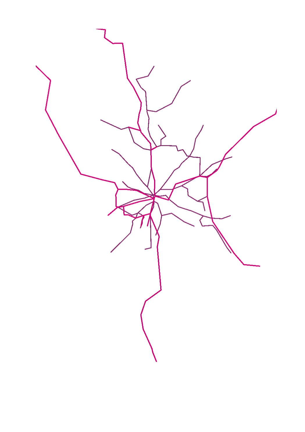
Transport en commun - Réseau
Ëffentlechen Transport - Réseau
Public Transport Network
Öffentlicher Transport - Netzwerk
Simple
-
IdentificateurCitation identifierIdentifikatorIdentificateur
- / bbe0523f-374d-4c94-a27d-7ce81d8bae3b
-
Forme de la présentationPresentation formPräsentationsformForme de la présentation
-
Carte numériqueDigital mapDigitale KarteCarte numérique
-
EtatStatusBearbeitungsstatusEtat
-
Mise à jour continueOn goingKontinuierliche AktualisierungMise à jour continue
-
Fréquence de mise à jourMaintenance and update frequencyÜberarbeitungsintervallFréquence de mise à jour
-
Lorsque nécessaireAs neededBei BedarfLorsque nécessaire
-
Entités au Grand-Duché de Luxembourg
-
-
Grand-Duché du Luxembourg
Grand-Duché du Luxembourg
Grand-Duché du Luxembourg
Grand-Duché du Luxembourg
-
- Keywords
-
-
geoportail.lu
geoportail.lu
geoportail.lu
geoportail.lu
-
-
geoportail.lu themes
-
-
Grand Public
Allgemeng
Main
Allgemein
-
PAG
PAG
PAG
PAG
-
-
geoportail.lu structure
-
-
Grand Public>Infrastructure et communication>Réseaux de transport
Grand Public>Infrastructure et communication>Réseaux de transport>Verkéiersnetzer
Main>Infrastructure and communication>Transport networks
Allgemein>Infrastruktur und Kommunikation>Verkehrsnetze
-
PAG>Données nationales de planification>Réseaux de transport
PAG>Données nationales de planification>Réseaux de transport>Verkéiersnetzer
PAG>National planning data>Transport networks
PAG>Nationale Planungsdaten>Verkehrsnetze
-
-
Contraintes d'accèsAccess constraintsZugriffseinschränkungenContraintes d'accès
-
Autres restrictionsOther restrictionsBenutzerdefinierte EinschränkungenAutres restrictions
-
Type de représentation spatialeSpatial representation typeRäumliche DarstellungsartType de représentation spatiale
-
VecteurVectorVektorVecteur
-
Dénominateur de l'échelleDenominatorMaßstabszahlDénominateur de l'échelle
- 0
-
Encodage des caractèresCharacter setZeichensatzEncodage des caractères
-
Utf8UTF8Utf8Utf8
))
-
Nom du système de référenceReference system identifierIdentifikator des ReferenzsystemsNom du système de référence
-
EPSG
/
http://www.opengis.net/def/crs/EPSG/0/2169
- OnLine resource
-
Protocol Linkage Name OGC API-Features
https://features.geoportail.lu/collections/813/46 OGC API - Features
OGC API-Features
https://features.geoportail.lu/collections/813/51 OGC API - Features
OGC API-Features
https://features.geoportail.lu/collections/813/52 OGC API - Features
OGC API-Features
https://features.geoportail.lu/collections/813/53 OGC API - Features
OGC API-Features
https://features.geoportail.lu/collections/813/54 OGC API - Features
OGC API-Features
https://features.geoportail.lu/collections/813/55 OGC API - Features
OGC API-Features
https://features.geoportail.lu/collections/813/56 OGC API - Features
OGC API-Features
https://features.geoportail.lu/collections/813/57 OGC API - Features
- OnLine resource
-
Protocol Linkage Name OGC:WMS-1.3.0-http-get-map
https://wms.geoportail.lu/public_map_layers/service 813
813
813
813
https://map.geoportail.lu/theme/main?version=3&zoom=8&X=667917&Y=6394482&lang=fr&layers=813&opacities=1 Transport en commun - Réseau
Ëffentlechen Transport - Réseau
Public Transport Network
Öffentlicher Transport - Netzwerk
Metadata
-
Identifiant de la ficheFile identifierMetadatensatzidentifikatorIdentifiant de la fiche
- bbe0523f-374d-4c94-a27d-7ce81d8bae3b XML
-
LangueMetadata languageSpracheLangue
- Français
-
Jeu de caractèresCharacter setZeichensatzJeu de caractères
-
Utf8UTF8Utf8Utf8
-
Type de ressourceHierarchy levelHierarchieebeneType de ressource
-
Jeu de donnéesDatasetDatenbestandJeu de données
- Hierarchy level name
-
dataset
-
Date des métadonnéesDate stampDatumDate des métadonnées
- 2026-04-20T08:46:39.409431Z
- Metadata standard name
-
ISO 19115:2003/19139
- Metadata standard version
-
1.0
- Metadata author
-
Organisation name Individual name Electronic mail address Role Verkéiersverbond (Communauté des Transports)
Yves Dax
Point de contactPoint of contactAnsprechpartnerPoint de contact
- Other language
-
Language Character encoding LëtzebuergeschLuxembourgish; LetzeburgeschLuxemburgischLuxembourgeoisUtf8UTF8Utf8Utf8EngleschEnglishEnglischAnglaisUtf8UTF8Utf8Utf8DäitschGermanDeutschAllemandUtf8UTF8Utf8Utf8FranséischFrenchFranzösischFrançaisUtf8UTF8Utf8Utf8
)))