 geocatalogue.geoportail.lu
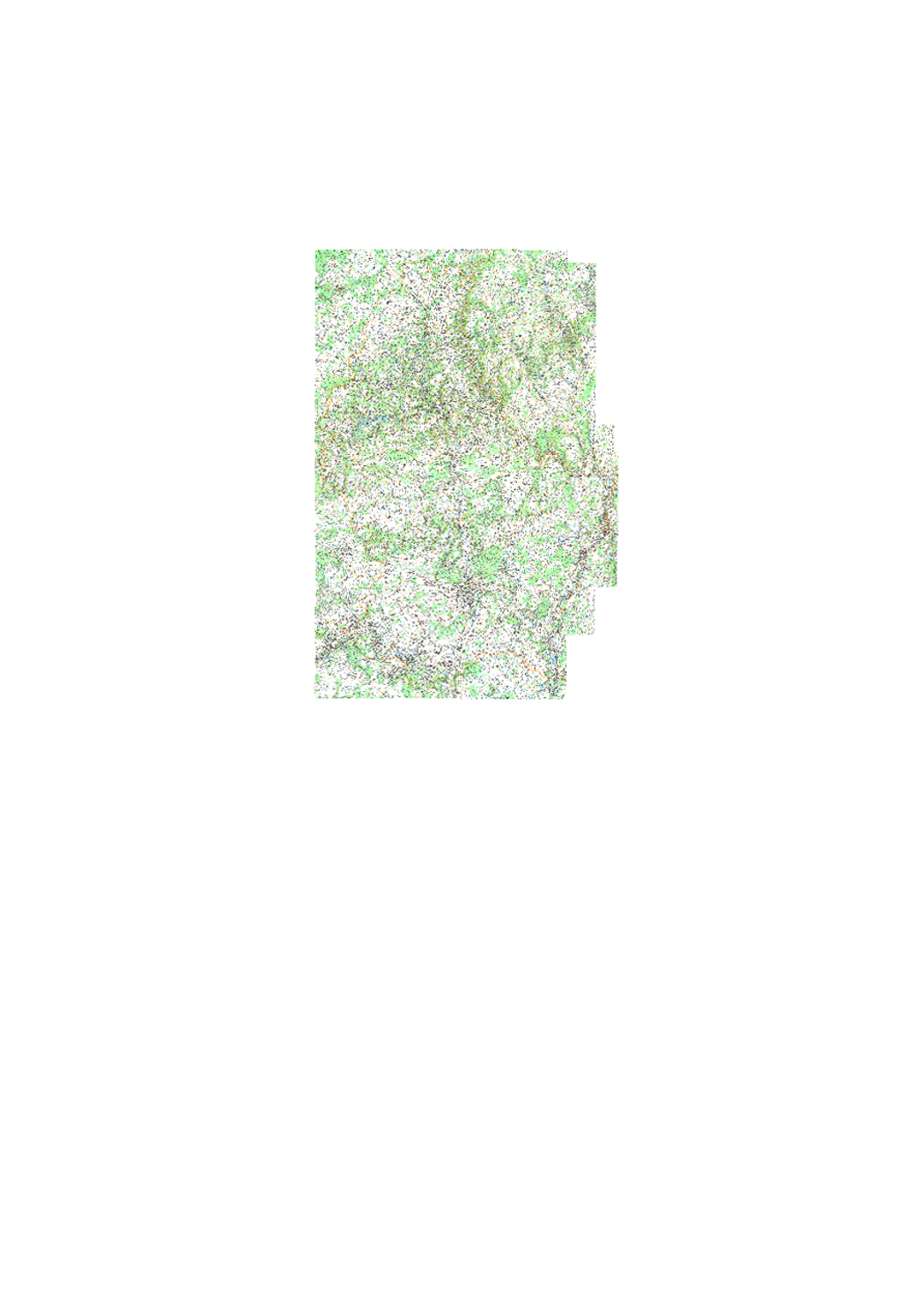
Topographische Karte 1:50k 1990
Simple
- Datumsangaben (Publikation)
- 2021-02-04
- Identifikator
- / ef6a5187-5882-4ee2-930c-f4546328a34b
- Bearbeitungsstatus
- Kontinuierliche Aktualisierung
Kontakt für die Ressource
No information provided.
- Überarbeitungsintervall
- Bei Bedarf
-
Entités au Grand-Duché de Luxembourg
-
-
Grand-Duché du Luxembourg
-
- Keywords
-
-
geoportail.lu
-
-
geoportail.lu themes
-
-
Tourismus
-
Allgemein
-
-
geoportail.lu structure
-
-
Tourismus>Topographische Karten>Historische topographische Karten
-
Allgemein>Basisdaten>Topographische Karten>Historische topographische Karten
-
- Räumliche Darstellungsart
- Vektor
- Sprache
- Français
N
S
E
W
))
- Identifikator des Referenzsystems
- EPSG / http://www.opengis.net/def/crs/EPSG/0/2169
- Abgabeformat
-
Bezeichnung Version GeoJSON
undefined
- Online
-
Protokoll URL Bezeichnung OGC:WMS-1.3.0-http-get-map
https://wms.geoportail.lu/public_map_layers/service 185
https://map.geoportail.lu/theme/main?version=3&zoom=8&X=667917&Y=6394482&lang=fr&layers=185&opacities=1 Topographische Karte 1:50k 1990
Metadaten
- Metadatensatzidentifikator
- b68a8131-2e42-40de-99ce-5a1433d80cbf XML
- Sprache
- Français
- Zeichensatz
- Utf8
- Hierarchieebene
- Datenbestand
- Bezeichnung der Hierarchieebene
-
dataset
- Datum
- 2021-02-04T22:22:05
- Bezeichnung des Metadatenstandards
-
ISO 19115:2003/19139:2007
- Version des Metadatenstandards
-
1.0
Metadatenkontakt
No information provided.
- Sprachraum
-
Sprache Zeichensatz Luxemburgisch Utf8 Englisch Utf8 Deutsch Utf8 Französisch Utf8
)))