 geocatalogue.geoportail.lu
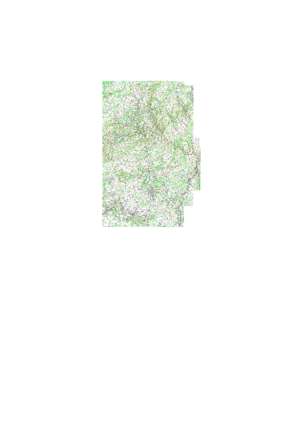
Topographical Map 1:50k 1990
Simple
- Date (Publication)
- 2021-02-04
- Citation identifier
- / ef6a5187-5882-4ee2-930c-f4546328a34b
- Status
- On going
Point of contact
No information provided.
- Maintenance and update frequency
- As needed
-
Entités au Grand-Duché de Luxembourg
-
-
Grand-Duché du Luxembourg
-
- Keywords
-
-
geoportail.lu
-
-
geoportail.lu themes
-
-
Tourism
-
Main
-
-
geoportail.lu structure
-
-
Tourism>Topographical maps>Historical topographical Maps
-
Main>Geographical location>Topographical maps>Historical topographical Maps
-
- Spatial representation type
- Vector
- Language
- Français
N
S
E
W
))
- Reference system identifier
- EPSG / http://www.opengis.net/def/crs/EPSG/0/2169
- Distribution format
-
Name Version GeoJSON
undefined
- OnLine resource
-
Protocol Linkage Name OGC:WMS-1.3.0-http-get-map
https://wms.geoportail.lu/public_map_layers/service 185
https://map.geoportail.lu/theme/main?version=3&zoom=8&X=667917&Y=6394482&lang=fr&layers=185&opacities=1 Topographical Map 1:50k 1990
Metadata
- File identifier
- b68a8131-2e42-40de-99ce-5a1433d80cbf XML
- Metadata language
- Français
- Character set
- UTF8
- Hierarchy level
- Dataset
- Hierarchy level name
-
dataset
- Date stamp
- 2021-02-04T22:22:05
- Metadata standard name
-
ISO 19115:2003/19139:2007
- Metadata standard version
-
1.0
Metadata author
No information provided.
- Other language
-
Language Character encoding Luxembourgish; Letzeburgesch UTF8 English UTF8 German UTF8 French UTF8
)))