 geocatalogue.geoportail.lu
Road map
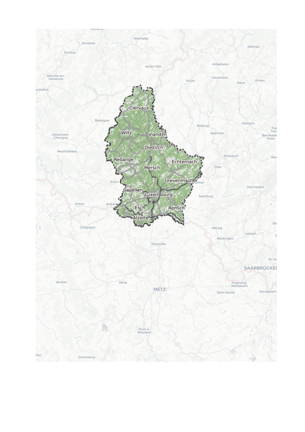
The road map is a multi-scale digital map that contains transport networks, buildings, vegetation and hydrology. It is updated monthly and the new roads are entered at the same time as the changes on the cadastral plan. The road map uses vector tile technology, which gives you new possibilities to display the road map.
The style editor gives you the choice between 3 editing modes:
- Choose a predefined style: This editing mode provides you with a list of predefined colour palettes, which you can use to colour the map.
- Modify the main colors: In this mode you can select an individual colour by theme. You also have the option of activating or deactivating a theme by checking the box.
Advanced possibilities: This mode allows you to adapt the style of your map without restrictions. Using the Maputnik external style editor ( https://maputnik.github.io/), you can make all kinds of modifications. When you are done editing, you can upload your style.
The settings remain stored in your browser. When you are logged in, they are loaded into your profile so that they can be reused on another computer.
Of course, the settings can also be used to create a custom background map and integrate it into your own website.
Simple
- Date (Creation)
- Invalid DateT00:00:00
- Date (Revision)
- Citation identifier
- / 88e077f9-d686-4394-82c6-0aa758afb969
- Presentation form
- Digital map
- Status
- On going
- Point of contact
-
Organisation name Individual name Electronic mail address Role Administration du Cadastre et de la Topographie
Administration du Cadastre et de la Topographie
Author
- Maintenance and update frequency
- As needed
-
Entités au Grand-Duché de Luxembourg
-
-
Grand-Duché du Luxembourg
-
-
GEMET - Concepts, version 2.4
-
- Keywords
-
-
Basemap
-
- Keywords
-
-
geoportail.lu
-
- Access constraints
- Other restrictions
- Spatial representation type
- Vector
- Denominator
- 500
- Character set
- UTF8
))
- Reference system identifier
- EPSG / http://www.opengis.net/def/crs/EPSG/0/2169
- Distribution format
-
Name Version ShapefileTODO
- OnLine resource
-
Protocol Linkage Name OGC:WMS-1.3.0-http-get-map
https://wms.geoportail.lu/public_map_layers/service 556
OGC:WMS-1.3.0-http-get-map
http://wmts1.geoportail.lu/opendata/service?request=getCapabilities&service=WMS&version=1.3.0
- OnLine resource
-
Protocol Linkage Name https://map.geoportail.lu/theme/main?version=3&zoom=8&X=667917&Y=6394482&lang=fr&layers=556&opacities=1 Road map
- Hierarchy level
- Dataset
Metadata
- File identifier
- a1fea2a0-e0a0-4e5f-a61d-9b3c3a9426bd XML
- Metadata language
- Français
- Character set
- UTF8
- Hierarchy level
- Dataset
- Hierarchy level name
-
dataset
- Date stamp
- 2021-02-04T23:45:23
- Metadata standard name
-
ISO 19115:2003/19139
- Metadata standard version
-
1.0
- Metadata author
-
Organisation name Individual name Electronic mail address Role Administration du Cadastre et de la Topographie
Administration du Cadastre et de la Topographie
Point of contact
- Other language
-
Language Character encoding Luxembourgish; Letzeburgesch UTF8 English UTF8 German UTF8 French UTF8
)))