 geocatalogue.geoportail.lu
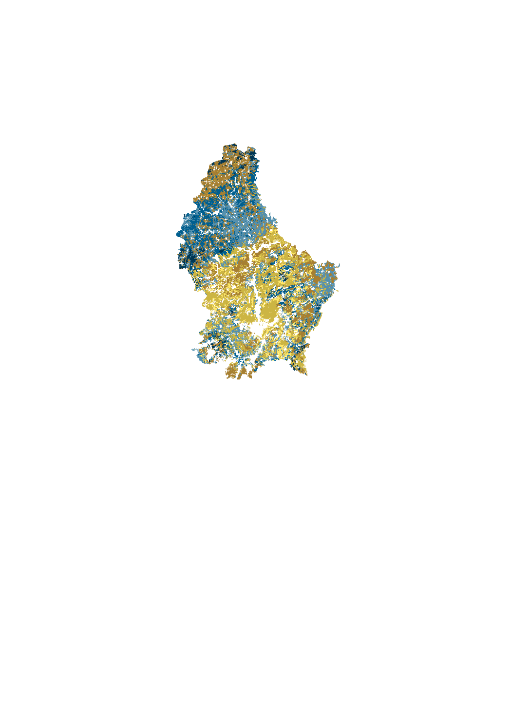
Topsoil Organic Carbon Content
Modeling of the content of topsoil organic carbon (%) in croplands (0-25 cm), permanent grasslands (0-10 cm), vineyards (0-30 cm) and forests (0-20 cm). Based on soil analysis data collected between 2012-2014 (agriculture, vineyards) and 1998-2001 (forest).
Simple
- Citation identifier
- / a1b0807c-9bff-4f6a-a5e7-130316742f56
- Presentation form
- Digital map
- Status
- On going
- Point of contact
-
Organisation name Individual name Electronic mail address Role Administration des services techniques de l’agriculture
Service de pédologie
Point of contact
- Maintenance and update frequency
- As needed
-
Entités au Grand-Duché de Luxembourg
-
-
Grand-Duché du Luxembourg
-
- Keywords
-
- Keywords
-
-
Soil
-
soil science
-
pedology
-
topsoil
-
geoportail.lu
-
-
geoportail.lu themes
-
-
Agriculture
-
Main
-
-
geoportail.lu structure
-
-
Agriculture>Soil maps
-
Main>Environment, Biology and Geology>Soil maps
-
- Use constraints
- Other restrictions
- Other constraints
-
Creative Commons 1.0 Universal (CC0 1.0) Public Domain Dedication
- Spatial representation type
- Vector
- Denominator
- 0
- Language
- Français
- Language
- Lëtzebuergesch
- Language
- Deutsch
- Language
- English
- Character set
- UTF8
- Topic category
-
- Environment
))
- Reference system identifier
- EPSG / http://www.opengis.net/def/crs/EPSG/0/2169
- OnLine resource
-
Protocol Linkage Name OGC:WMS-1.3.0-http-get-map
https://wms.geoportail.lu/public_map_layers/service 704
WWW:LINK-1.0-http--link
https://data.public.lu/fr/datasets/carte-de-la-distribution-des-stocks-de-carbone-organique-dans-les-sols/
- OnLine resource
-
Protocol Linkage Name https://map.geoportail.lu/theme/main?version=3&zoom=8&X=667917&Y=6394482&lang=fr&layers=704&opacities=1 Topsoil Organic Carbon Content
Metadata
- File identifier
- a1b0807c-9bff-4f6a-a5e7-130316742f56 XML
- Metadata language
- Français
- Character set
- UTF8
- Hierarchy level
- Dataset
- Hierarchy level name
-
dataset
- Date stamp
- 2021-02-04T22:29:52
- Metadata standard name
-
ISO 19115:2003/19139
- Metadata standard version
-
1.0
- Metadata author
-
Organisation name Individual name Electronic mail address Role Administration des services techniques de l’agriculture
Service de pédologie
Point of contact
- Other language
-
Language Character encoding French UTF8 Luxembourgish; Letzeburgesch UTF8 English UTF8 German UTF8
)))