 geocatalogue.geoportail.lu
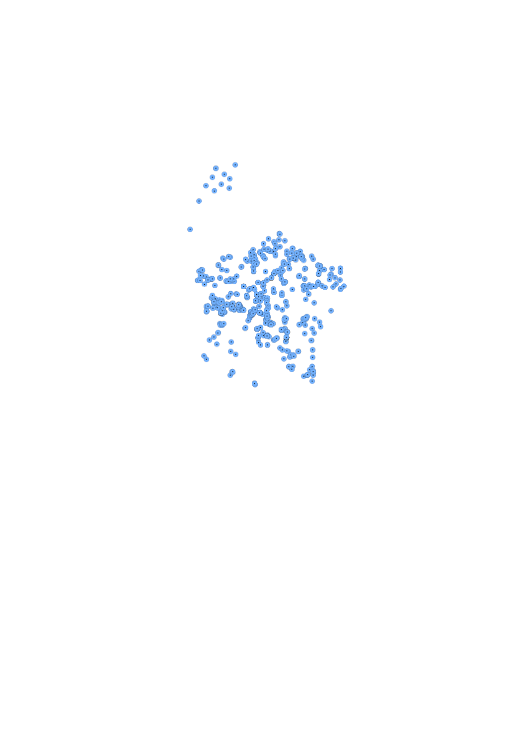
Drinking water abstraction points
Places where drinking water is withdrawn.
Simple
- Citation identifier
- / a049086b-9c17-4ba6-b9bf-78cb4af8ee68
- Presentation form
- Digital map
- Status
- On going
- Point of contact
-
Organisation name Individual name Electronic mail address Role Administration de la gestion de l'eau
Division des eaux souterraines et des eaux potables
Point of contact
-
Entités au Grand-Duché de Luxembourg
-
-
Grand-Duché du Luxembourg
-
- Keywords
-
-
abstraction, point
-
- Keywords
-
-
geoportail.lu
-
-
geoportail.lu themes
-
-
Water
-
-
geoportail.lu structure
-
-
Water>Drinking water
-
- Access constraints
- Other restrictions
- Other constraints
-
aucune
- Spatial representation type
- Vector
- Denominator
- 0
- Language
- Français
- Language
- English
- Language
- Lëtzebuergesch
- Language
- Deutsch
- Character set
- UTF8
- Topic category
-
- Environment
- Inland waters
N
S
E
W
))
- Maintenance and update frequency
- Monthly
- Reference system identifier
- EPSG / http://www.opengis.net/def/crs/EPSG/0/2169
- OnLine resource
-
Protocol Linkage Name WWW:LINK-1.0-http--link
https://data.public.lu/fr/datasets/points-de-prelevement-deau-potable/ OGC API-Features
https://features.geoportail.lu/collections/567 OGC API - Features
- OnLine resource
-
Protocol Linkage Name OGC:WMS-1.3.0-http-get-map
https://wms.geoportail.lu/public_map_layers/service 567
https://map.geoportail.lu/theme/main?version=3&zoom=8&X=667917&Y=6394482&lang=fr&layers=567&opacities=1 Drinking water abstraction points
Metadata
- File identifier
- a049086b-9c17-4ba6-b9bf-78cb4af8ee68 XML
- Metadata language
- Français
- Character set
- UTF8
- Hierarchy level
- Dataset
- Hierarchy level name
-
dataset
- Date stamp
- 2025-07-16T09:17:39Z
- Metadata standard name
-
ISO 19115:2003/19139
- Metadata standard version
-
1.0
- Other language
-
Language Character encoding Luxembourgish; Letzeburgesch UTF8 English UTF8 German UTF8 French UTF8
)))