 geocatalogue.geoportail.lu
Detailed programme of measures HY
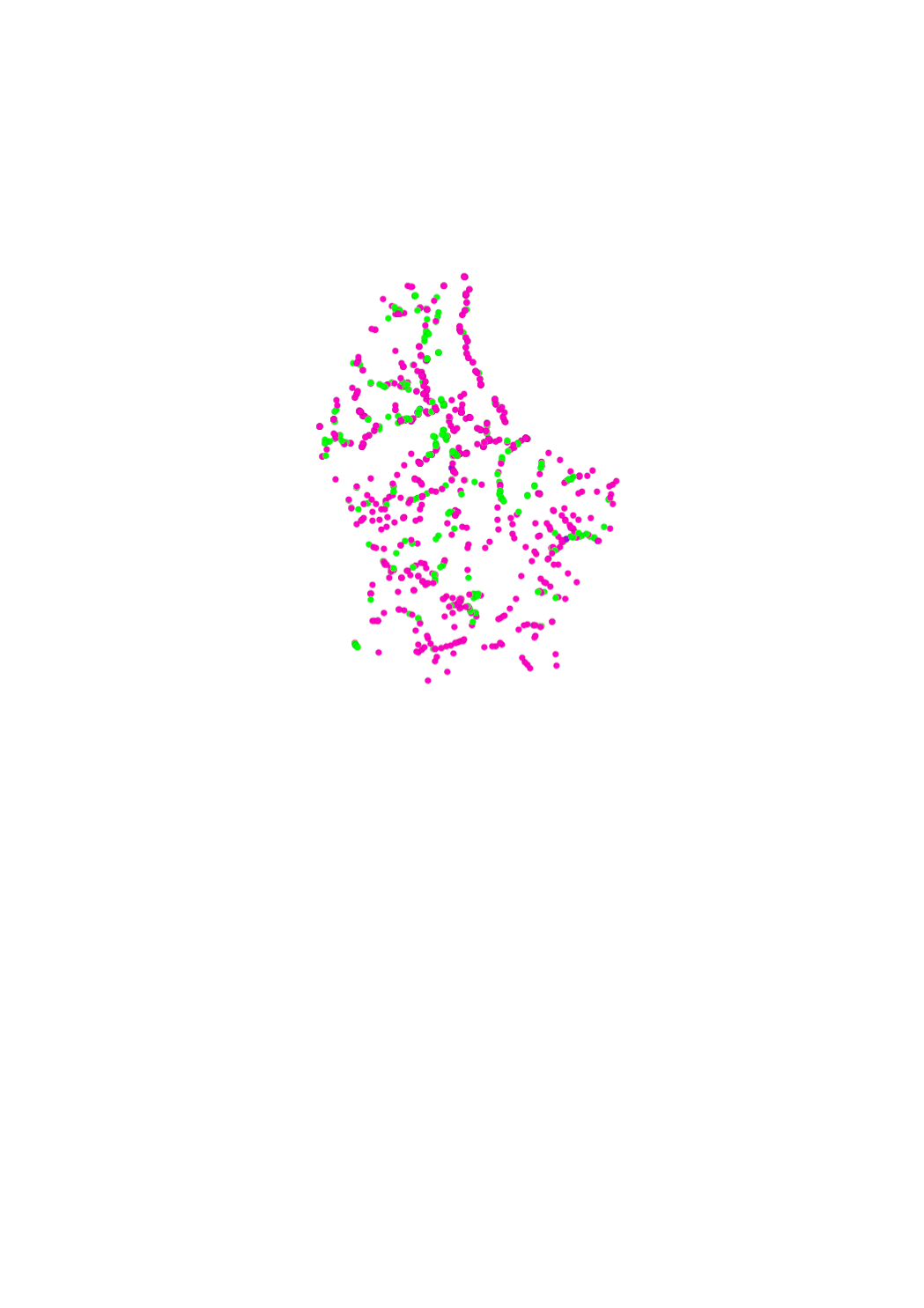
In the detailed programme of measures, the types of measures related to hydromorphology (HY) and urban wastewater management (SWW) which are defined in the catalogue of measures of the second river basin management plan, were assigned to the individual water bodies. The objective of this assignation is to identify for each water body those measures that will help to reduce the pressures and deficits present in the water body, thereby improving its status or maintaining its good status. The hydromorphological measures include the improvement of the ecological continuity, the renaturation of water courses as well as the regulation of the minimal flow. Some hydromorphological types of measures can have a positive effect on the reduction of floods.
Simple
- Date (Publication)
- 2015-12-22
- Citation identifier
- / 9a339e4e-eb04-42a0-ac0d-5a5f354c9548
- Presentation form
- Digital map
- Status
- Completed
- Point of contact
-
Organisation name Individual name Electronic mail address Role Administration de la gestion de l'eau
Division de l'hydrologie
Custodian
- Maintenance and update frequency
- As needed
-
Entités au Grand-Duché de Luxembourg
-
-
Grand-Duché du Luxembourg
-
- Keywords
-
-
Water framework directive (directive 2000/60/EC), Floods Directive (Directive 2007/60/CE), measures, hydromorphology, restoration, continuity, minimal flow
-
- Keywords
-
-
geoportail.lu
-
-
geoportail.lu themes
-
-
Water
-
Main
-
-
geoportail.lu structure
-
-
Water>Water framework directive [WFD]>River Basin Management Plan 2015
-
Main>Environment, Biology and Geology>Water framework directive [WFD]>River Basin Management Plan 2015
-
- Access constraints
- Other restrictions
- Spatial representation type
- Vector
- Denominator
- 0
- Character set
- UTF8
))
- Reference system identifier
- EPSG / http://www.opengis.net/def/crs/EPSG/0/2169
- OnLine resource
-
Protocol Linkage Name OGC:WMS-1.3.0-http-get-map
https://wms.geoportail.lu/public_map_layers/service 785
WWW:LINK-1.0-http--link
https://data.public.lu/fr/datasets/detailed-programme-of-measures-hy-related-to-hydromorphology/ Open data
OGC API-Features
https://features.geoportail.lu/collections/785 OGC API - Features
- OnLine resource
-
Protocol Linkage Name https://map.geoportail.lu/theme/main?version=3&zoom=8&X=667917&Y=6394482&lang=fr&layers=785&opacities=1 Detailed programme of measures HY
Metadata
- File identifier
- 9a339e4e-eb04-42a0-ac0d-5a5f354c9548 XML
- Metadata language
- Français
- Character set
- UTF8
- Hierarchy level
- Dataset
- Hierarchy level name
-
dataset
- Date stamp
- 2025-12-04T14:14:34.241205Z
- Metadata standard name
-
ISO 19115:2003/19139
- Metadata standard version
-
1.0
- Metadata author
-
Organisation name Individual name Electronic mail address Role Administration de la gestion de l'eau
Administration de la gestion de l'eau
Point of contact
- Other language
-
Language Character encoding Luxembourgish; Letzeburgesch UTF8 English UTF8 German UTF8 French UTF8
)))